Download
3D Flyover
Add to list
More
18.9 km
~3 hrs 46 min
0 m
Point-to-Point
“From Roosteren’s big-sky fields through gravel-scarred flats into Limbrichterbosch hush, you’ll earn Sittard.”
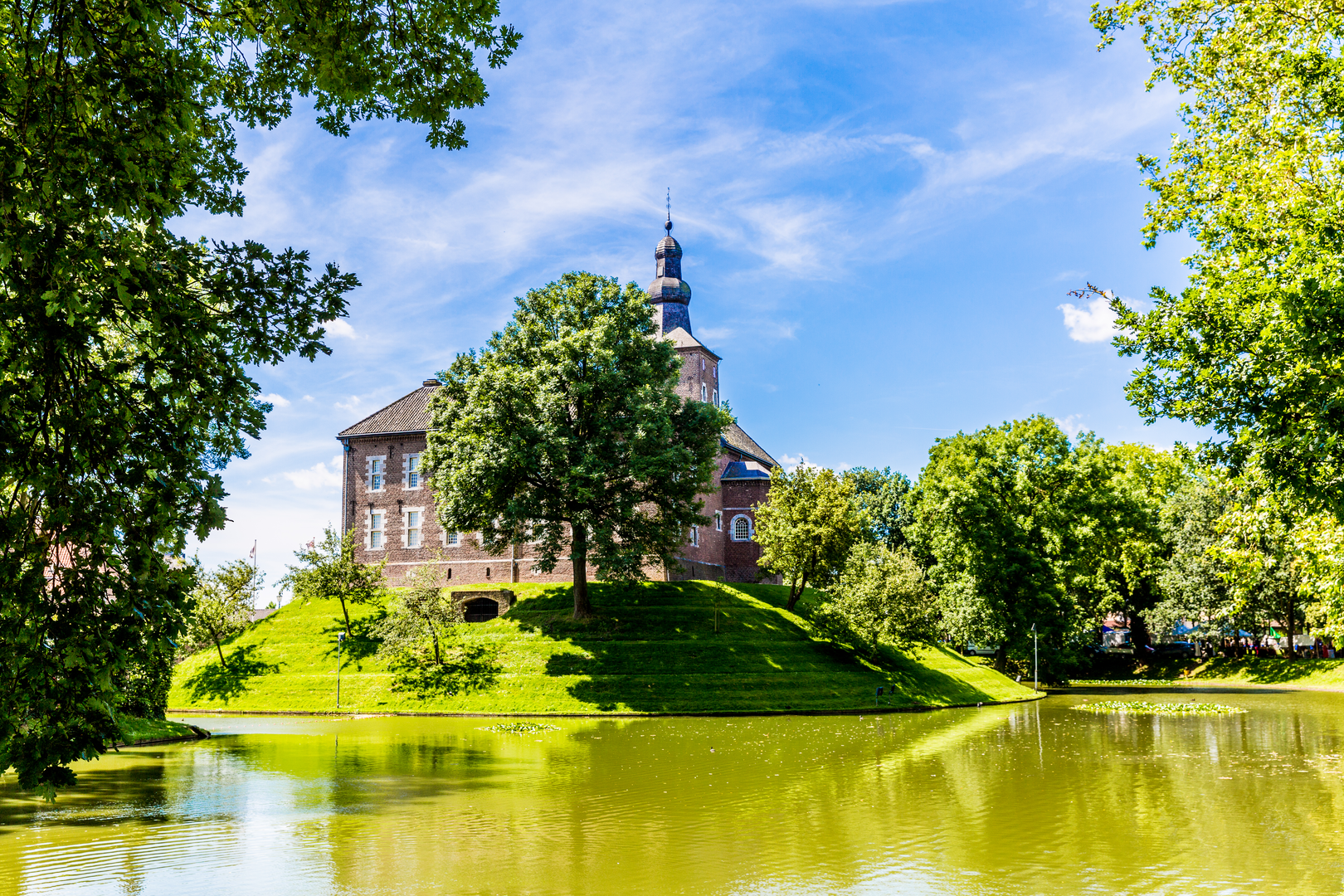
This easy, mostly level point-to-point walk links the Maas valley village of Roosteren with the town of Sittard, threading together open farmland, former extraction landscapes around Grindwinning, and the quiet woodland of Limbrichterbosch. At around 19 km / 11.8 mi with roughly 0 m / 0 ft of climbing, it’s ideal when you want steady mileage without hills—expect the “effort” to come more from distance, wind exposure across fields, and occasional muddy stretches than from elevation.
Getting to the start (Roosteren) and planning the finish (Sittard)
By public transport - Finish-first planning helps because this is point-to-point. Sittard is a larger rail hub, so it’s usually easiest to arrive/depart via Sittard Station (a major landmark on the route’s end side) and then use local transit to reach Roosteren. - From Sittard Station, look for regional bus connections toward Echt / Roosteren (routes and operators can change seasonally). Build in buffer time—rural services can be less frequent, especially evenings and Sundays.
By car - If you’re driving, the simplest logistics are: - Park near Sittard Station (paid parking is common around stations) and take transit/taxi to Roosteren, then hike back to your car. - Or, if you have two vehicles, leave one near Sittard Station and one near the Roosteren village center (around the church and main village streets is the most reliable “significant landmark” area for meeting up and orienting).
Navigation - Load the route in HiiKER before you go and download offline maps. Even on flat terrain, the main risk is missing a subtle turn where farm tracks meet, or taking the wrong parallel path along drainage ditches.
From Roosteren you’ll typically begin on quiet village lanes that quickly give way to agricultural tracks. The first few kilometers (about 3–5 km / 1.9–3.1 mi) are usually the most open: long sightlines, big skies, and a sense of the Maas valley’s broad, engineered flatness. Because there’s little elevation change, you’ll notice how much the landscape is shaped by water management—ditches, culverts, and straightened channels that keep fields workable.
As you leave the village behind, expect a mix of: - Hard-packed farm roads (fast walking when dry) - Grassy margins beside fields (can be wet) - Short paved connectors between hamlets
Wind can be the biggest “hidden difficulty” here. On exposed stretches, a mild forecast can feel colder than expected, especially outside summer. Bring a light shell even for an easy-rated hike.
Grindwinning area: extraction landscapes and wide-open walking
Around the midsection (roughly 6–12 km / 3.7–7.5 mi depending on the exact line), the route’s character often shifts toward the Grindwinning zone—an area associated with gravel/sand extraction and the industrial heritage of the Maas corridor. Even when active operations aren’t directly on the path, the surrounding terrain can show it: broad pits or water-filled basins, straight service roads, and young vegetation reclaiming disturbed ground.
What to look out for here: - Surface changes: compacted gravel can be easy underfoot, but transitions to softer edges can be slippery after rain. - Heavy-vehicle access roads: if the route shares or crosses them, stay alert at junctions and keep to the verge where safe. - Limited shade: sun exposure can be significant in late spring and summer—carry more water than you’d expect for a flat walk.
Wildlife in these open and semi-industrial mosaics can be surprisingly good. You may spot buzzards and kestrels hunting over field margins, and in wetter basins, waterfowl (ducks, coots, geese) depending on season. Early and late in the day, roe deer sometimes appear at the edges where scrub meets field.
Limbrichterbosch: woodland calm, softer ground, and better shelter
As you approach Limbrichterbosch (often around 12–16 km / 7.5–10 mi), the hike becomes more sheltered and noticeably quieter. This woodland section is the most “nature-forward” part of the day: leaf litter, pine needles in places, and a cooler feel under the canopy.
Underfoot and conditions: - Sandy or loamy paths that can turn muddy in winter and after prolonged rain - Occasional rooty sections—still easy, but watch footing if you’re moving quickly - In autumn, expect slippery leaves on any compacted or slightly sloped bits (even small slopes matter when covered in wet leaves)
Nature and wildlife: - Mixed woodland often supports woodpeckers, small songbirds, and in quieter corners, fox sign (tracks/scat). - In warm months, ticks can be present in grassy edges and bracken—long socks and a quick check at the end of the day are sensible.
This is also where navigation can get a little trickier: multiple parallel tracks can look equally “right.” Keep an eye on HiiKER at junctions, especially where a main forestry track splits into two similar-width options.
Leaving the woods, the final approach into Sittard (roughly the last 3–5 km / 1.9–3.1 mi) tends to feel more urban-fringe: paths beside neighborhoods, small roads

Surfaces
Unknown
Asphalt
Sand
Grass
Dirt
Comments and Reviews
User comments, reviews and discussions about the Roosteren to Sittard via Grindwinning and Limbrichterbosch, Netherlands.
average rating out of 5
0 rating(s)