Download
3D Flyover
Add to list
More
13.2 km
~2 hrs 38 min
0 m
Point-to-Point
“Wander from Rijssen to Nijverdal, soaking up tranquil meadows, blooming heath, and riverside history.”
Starting from the outskirts of Rijssen, this gentle 13 km (about 8 miles) route heads eastward through the heart of Overijssel’s Salland region, with virtually no elevation gain—making it accessible for hikers of all abilities. The trailhead is conveniently located near Rijssen railway station, which is well-served by trains from major Dutch cities and has adjacent parking for those arriving by car.
Getting Oriented and Setting Out
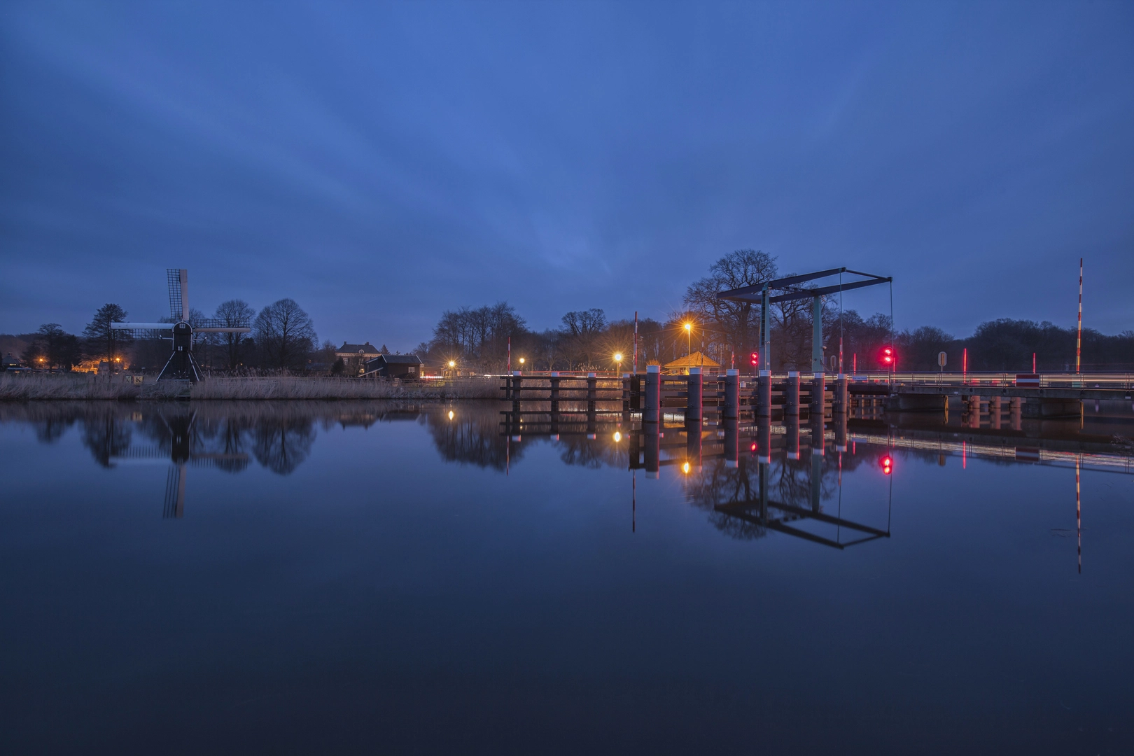
Leaving Rijssen, the path quickly transitions from the town’s edge into the open Dutch countryside. The first few kilometers wind through a patchwork of meadows and small woodlands, typical of the Salland landscape. Early on, you’ll cross the Regge River via the Grimbergerbrug, a modest but historic bridge that has served as a crossing point for centuries. The Regge itself is a slow-moving, meandering river, often bordered by reeds and home to waterfowl such as herons and grebes. Keep an eye out for roe deer in the fields, especially during the quieter morning hours.
Through the Salland Countryside
After about 4 km (2.5 miles), the trail skirts the edge of the Wierdense Veld, a protected heathland and peat bog area. This is a highlight for nature lovers: the heath blooms with purple heather in late summer, and the area is a haven for birds like the Eurasian curlew and skylark. The terrain here is flat and sandy, with occasional boardwalks over wetter patches. The landscape is open, offering wide views and a sense of tranquility.
Continuing east, the route passes through small hamlets and farmland, with traditional Dutch farmhouses dotting the landscape. At roughly the halfway point, you’ll reach the Keppelbrug, another historic bridge over the Regge. This spot is ideal for a rest, with benches and views of the riverbanks. The Keppelbrug area is also known for its old water mills, remnants of the region’s agricultural past.
Approaching Nijverdal
The final stretch leads you through more wooded areas and pastures as you approach Nijverdal. The town itself has a rich industrial history, having grown rapidly in the 19th century due to textile manufacturing. The trail ends near Nijverdal railway station, making it easy to return to your starting point or continue exploring the region.
Navigation and Preparation
The entire route is well-marked, but it’s recommended to use HiiKER for up-to-date navigation and trail conditions. The flat terrain and well-maintained paths mean standard walking shoes are sufficient, though waterproof footwear is advisable after rain, especially near the Wierdense Veld. There are several small cafes and rest stops along the way, but carrying water and snacks is wise, particularly outside of peak season when some facilities may be closed.
Public transport connections at both Rijssen and Nijverdal are frequent, with direct trains to cities like Zwolle, Deventer, and Almelo. For drivers, parking is available at both trailheads, with clear signage from the main roads.
This route offers a peaceful journey through classic Dutch landscapes, with plenty of opportunities to spot wildlife, enjoy local history, and experience the quiet beauty of Overijssel.

Surfaces
Unknown
Concrete
Asphalt
Grass
Unpaved
Ground
Cobblestone
Sand
Wood
Comments and Reviews
User comments, reviews and discussions about the Rijssen to Nijverdal via Grimberger and Keppelbrug, Netherlands.
average rating out of 5
0 rating(s)