Download
3D Flyover
Add to list
More
6.4 km
~1 hrs 18 min
7 m
Loop
“A mellow countryside loop of big skies, hedgerows and birdsong—best enjoyed with mud-ready shoes.”
A gentle, mostly level loop of about 6 km (3.7 mi) with roughly 0 m (0 ft) of climbing, this walk is ideal for a relaxed outing where the focus is on open views, farmland edges, and the quiet rhythm of the countryside rather than steep gradients. Expect easy underfoot conditions most of the time, with a few short sections that can turn muddy after rain.
Getting to the start (car + public transport)
Because the start point is only given as “near” (and no coordinates are included), I can’t reliably convert a lon/lat to a nearby address or landmark yet. If you share the start coordinates (or a HiiKER link), I’ll pin it to the nearest known road access, parking spot, or notable landmark.
By car:
For most rural loop walks like this, the practical approach is to aim for the nearest signed access point—often a small roadside pull-in, farm gate area, or village edge parking. Plan for limited spaces and avoid blocking gates or field entrances.
By public transport:
If there’s a village or small town nearby, the usual pattern is: train to the nearest regional station, then a local bus (or a short taxi) to the closest settlement to the trailhead. Once you provide the “near ___” location or coordinates, I can suggest the most realistic station/bus combination and the final walking approach.
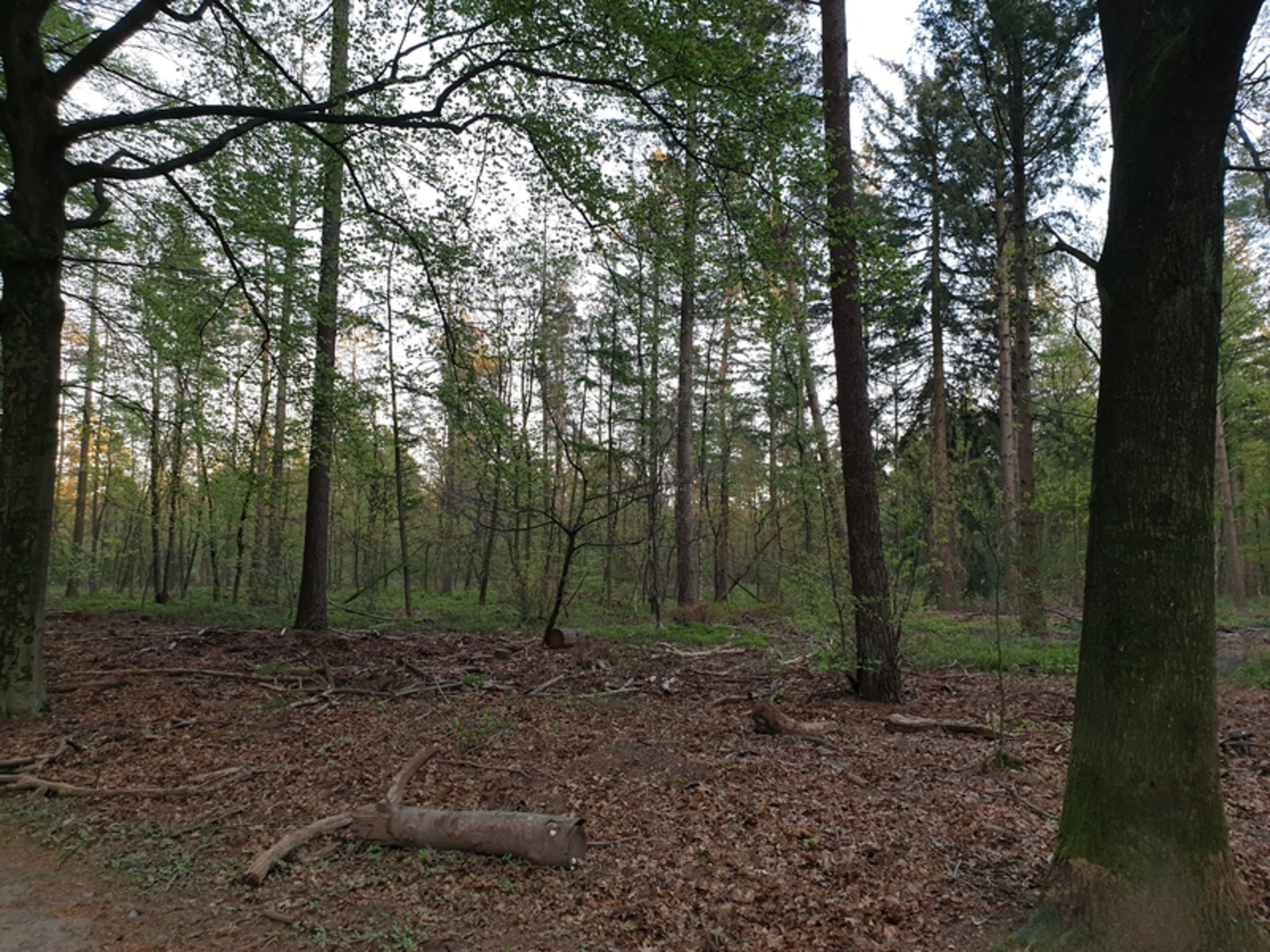
What the route is like underfoot
With minimal elevation change, the loop typically follows a mix of: - Farm tracks / access lanes (often compacted gravel or hard-packed dirt) - Field-edge paths (grass or earth; can be slick when wet) - Short road links (quiet lanes—still watch for fast-moving local traffic)
Even on an “easy” loop, bring footwear that can handle wet grass and soft ground. After rain, the lowest sections can hold water, and shaded stretches may stay damp longer than you’d expect.
Landmarks, scenery, and the feel of the landscape
“Paardenkop” and “De Laar” are names you’ll often see associated with rural features—fields, small wooded patches, or local high points (even if the overall walk is flat). On a loop like this, the highlights tend to be subtle and rewarding: - Wide, open sightlines across fields and hedgerows—great for spotting birds and reading the shape of the land. - Tree lines and small copses that break up the openness and provide shelter from wind. - Drainage ditches, small streams, or wet hollows (common in low-lying farmland), which can attract wildlife and also create muddy pinch points on the path.
If the loop passes any old farmsteads, boundary stones, or long straight tracks, those can hint at older land division patterns—many countryside routes follow historic rights-of-way that predate modern roads.
Nature and wildlife to look out for
In mixed farmland and light woodland edges, you’ll often encounter: - Birdlife: small songbirds in hedges; larger birds hunting over open ground. Early morning and late afternoon are usually best for activity. - Mammals: rabbits and small mammals near field margins; deer are possible where there are wooded pockets or quiet cover. - Seasonal changes: spring brings more birdsong and fresh growth along verges; late summer can mean taller grasses and seed heads encroaching on narrow paths; winter can expose the landscape’s structure but increase mud.
If there are livestock fields, give animals space and keep to the path. Close gates behind you where required.
Navigation and practical planning
This is the kind of loop where junctions can be easy to miss because multiple farm tracks may look similar. Use HiiKER to: - Confirm you’re taking the correct track at each split - Check for short road connectors between path sections - Keep an eye on distance remaining (useful if conditions slow you down)
Common things that catch hikers out
- Unmarked turns at field corners: a path may continue as a narrow line in grass rather than an obvious track.
- Seasonal overgrowth: in warmer months, the “correct” line can be partially hidden.
- Soft ground after rain: even flat routes can become tiring if you’re constantly avoiding puddles.
Safety, comfort, and what to pack for an easy 6 km (3.7 mi)
- Footwear: light hiking shoes or trail runners with decent grip; waterproofing helps in wet seasons.
- Layers: open farmland can feel windier and cooler than nearby towns.
- Water: for 6 km you won’t need much, but bring at least a small bottle—especially in warm weather.
- Sun/rain protection: exposure can be high on open sections.
- Time estimate: many hikers will take 1.5–2 hours at an easy pace with stops, depending on ground conditions.
Historical context (what’s likely relevant here)
Loops through “working countryside” often trace older movement corridors—routes used for: - Local access between farms and hamlets - Moving livestock - Reaching woodland or common land for resources
If you tell me the country/region (or provide coordinates), I can add the specific local historical layer—whether that’s tied to a particular settlement pattern, land reclamation, historic estates, or notable events connected to the area.
If you send the missing start location (nearest town/village or a lon/lat), I’ll (1) identify the nearest known address/landmark for the trailhead, (2) describe the loop direction with clearer distance markers (e.g., “after ~1.2 km / 0.75 mi…”), and (

Surfaces
Unknown
Ground
Asphalt
Comments and Reviews
User comments, reviews and discussions about the Paardenkop and De Laar Loop, Netherlands.
average rating out of 5
0 rating(s)