Download
3D Flyover
Add to list
More
10.8 km
~2 hrs 11 min
23 m
Loop
“Wander through shimmering lakes, golden dunes, and whispering forests on this vibrant Zuid-Kennemerland adventure.”
Embark on an approximately 11-kilometer (6.8-mile) loop through the diverse landscapes of Zuid-Kennemerland National Park, featuring serene dune lakes, expansive sand dunes, and lush forests. With minimal elevation gain, this easy trail is suitable for hikers of all levels.
Trail Overview
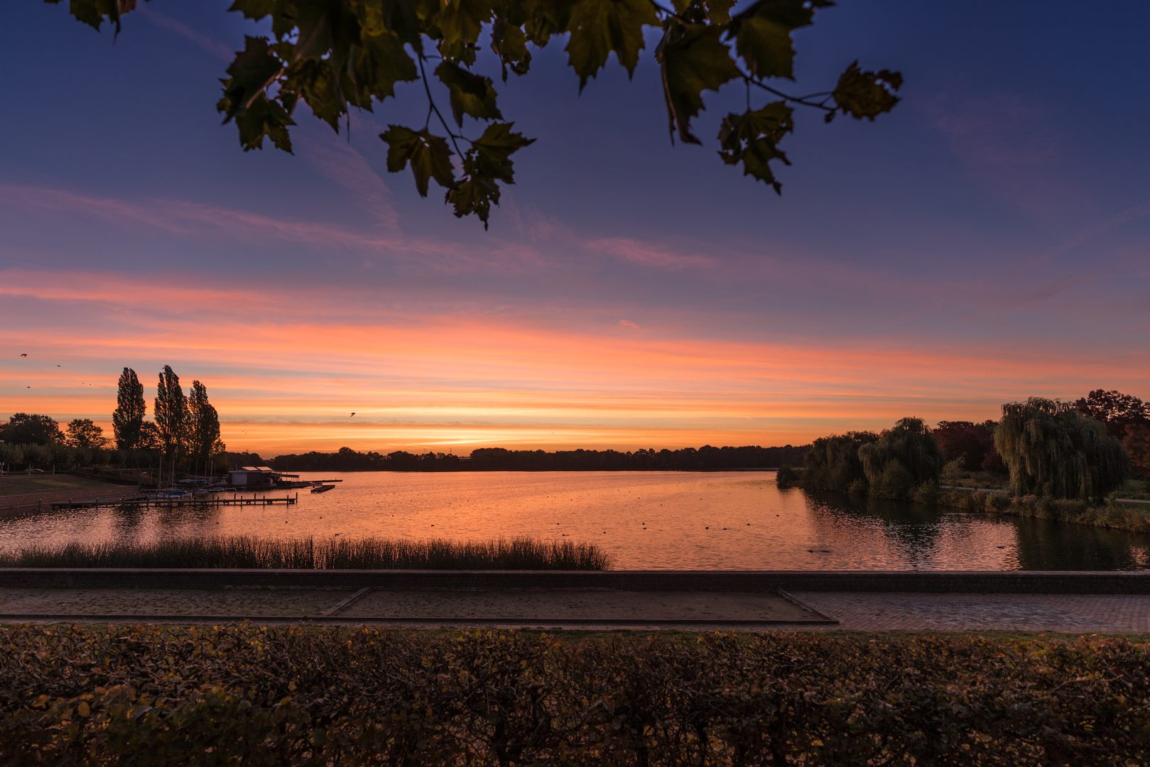
Starting at the Bleek en Berg entrance on Bergweg in Bloemendaal, the path leads you through the Oosterplas area, a tranquil dune lake surrounded by rich vegetation. The Oosterplas is one of several man-made lakes in the park, originally excavated for sand extraction and now serving as a habitat for various bird species. Swimming is permitted here, making it a popular spot during warmer months. (go-kids.nl)
Key Landmarks and Natural Features
't Wed: Approximately 3 kilometers (1.9 miles) into the hike, you'll encounter 't Wed, another artificial dune lake renowned for its clear waters and sandy beaches. It's an ideal location for a mid-hike break or a refreshing swim. (kennemerduinen.com)
Konijnenberg: Continuing along the trail, you'll ascend the Konijnenberg, a 22-meter (72-foot) high dune offering panoramic views of the surrounding landscape. This vantage point provides a glimpse of the high dunes near the Kopje van Bloemendaal. (gps-route.org)
Vogelmeer: Further along, the path leads to the Vogelmeer, a lake that attracts a variety of bird species, making it a haven for birdwatchers. A bird observation hut is situated on the south shore, offering a quiet spot to observe the avian activity. (web.mit.edu)
Hazenberg: At 32 meters (105 feet), the Hazenberg provides another excellent viewpoint, with sights extending towards Bloemendaal aan Zee and the Parnassia area. The dune's name, translating to "Hare Mountain," hints at the wildlife you might encounter. (gps-route.org)
Brederodeberg: The trail's highest point, Brederodeberg, stands at 45 meters (148 feet). While the dense tree cover limits the view, the surrounding forest offers a peaceful atmosphere. (gps-route.org)
Flora and Fauna
The park's varied ecosystems support a rich array of wildlife. Keep an eye out for red foxes, fallow deer, and numerous bird species. The diverse plant life includes rare dune orchids and the white-blooming grass of Parnassus, especially vibrant in spring. (web.mit.edu)
Historical Significance
The Zuid-Kennemerland region has a storied past, with remnants of World War II bunkers scattered throughout the dunes. These historical structures now serve as habitats for bats and other wildlife, blending history with nature. (web.mit.edu)
Getting There
By Public Transport: From Haarlem Station, take Connexxion bus 81 towards Zandvoort and alight at the "Bloemendaal, Kennemerduinen" stop. From there, it's an 8-minute walk to the Bleek en Berg entrance. (moovitapp.com)
By Car: Navigate to Bergweg in Bloemendaal. Parking is available at the Bleek en Berg entrance, though fees may apply. It's advisable to arrive early, especially on weekends, as parking can be limited. (go-kids.nl)
Trail Navigation
For detailed trail maps and real-time navigation, consider using HiiKER, which provides comprehensive information on this and other trails within the park.
Additional Information
Visitor Center: Before or after your hike, visit the De Kennemerduinen Visitor Center located at Zeeweg 12 in Overveen. Here, you can find exhibitions, a café, and additional information about the park's flora, fauna, and history. (np-zuidkennemerland.nl)
Facilities: Restrooms and water refill stations are available at the visitor center and near 't Wed. It's recommended to carry sufficient water and snacks, as facilities along the trail are limited.
Regulations: Dogs are not permitted on this trail to protect the park's wildlife.

Surfaces
Sand
Unpaved
Unknown
Dirt
Gravel
Comments and Reviews
User comments, reviews and discussions about the T Wed, De Kennemerduinen and Oosterplas Loop, Netherlands.
average rating out of 5
0 rating(s)