Download
3D Flyover
Add to list
More
6.2 km
~1 hrs 21 min
71 m
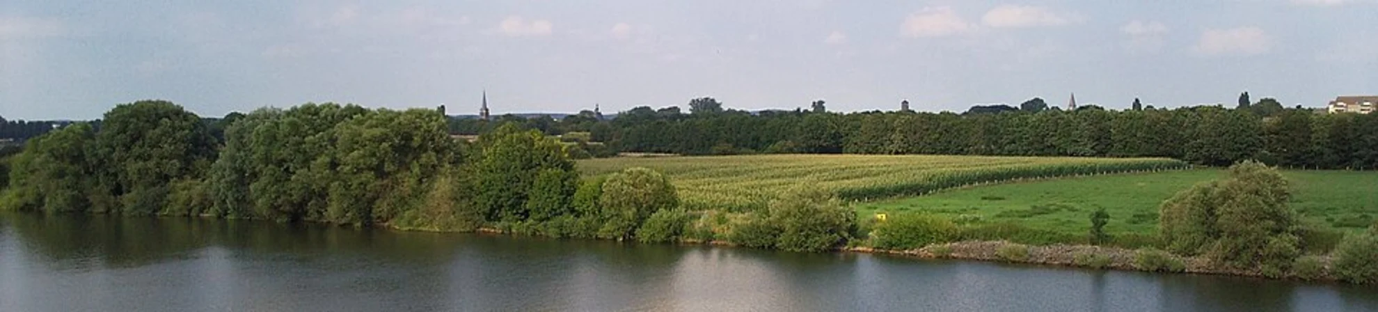
Loop
“Bring the missing details, and we’ll shape Grafwegen Loop into a grounded, vivid hike plan.”
I’m missing a few key pieces needed to write this accurately (especially the start location). Share any of the following and I’ll turn it into a full, ready-to-hike description with distances in km + miles, elevation in m + ft, landmarks, hazards, and logistics.
1) Start point (required)
- A latitude/longitude, a Google Maps link, or the nearest town/village.
- Your form says “Hike head: near” but doesn’t include what it’s near.
If you send coordinates, I’ll convert them to the nearest known address or notable landmark.
2) Where is “Grafwegen Loop”?
There are multiple places/trails that could match that name. Tell me the country/region (e.g., Netherlands / Germany border area / Belgium, etc.).
3) Hike type
Loop is implied, but confirm whether it’s: waymarked footpaths, forest tracks, boardwalk, mixed surfaces, dog-friendly, etc.
4) Optional but helpful
- Any must-see points you want included (chapel, viewpoint, cemetery, canal, heathland, etc.)
- Any season you’re planning (mud, ticks, hunting closures, flooding can change what to expect)
Reply with the start coordinates or nearest town and I’ll produce the complete hike description in the exact style you requested (no “Trail Description:” label, at least one mid-section sub-heading, and navigation references to HiiKER only).

Surfaces
Unknown
Asphalt
Comments and Reviews
User comments, reviews and discussions about the Grafwegen Loop, Netherlands.
average rating out of 5
0 rating(s)