Download
3D Flyover
Add to list
More
18.4 km
~3 hrs 41 min
6 m
Loop
“Wander quiet Dutch dunes and village edges, where wind, sand, and sheepfold stories drift.”
This is a relaxed, mostly level 18 km (11.2 mi) loop through classic Dutch coastal lowlands—expect a mix of village-edge paths, nature reserve tracks, and dune/woodland corridors with long stretches that feel surprisingly quiet for how close you are to towns. With roughly 0 m (0 ft) of elevation gain overall, the “effort” here is less about climbing and more about distance, wind exposure, and choosing the right footwear for occasional sandy or damp sections.
Approximate stats
- Distance: ~18 km (11.2 mi)
- Elevation gain: ~0 m (~0 ft)
- Time planning: 3.5–5 hours at an easy pace with stops
- Difficulty: Easy (fitness-based due to length rather than terrain)
Getting to the start (public transport + car)
Because the start point is listed only as “near” (no coordinates provided), the most reliable way to pin down the exact trailhead is to open the route in HiiKER and use its start-point map pin. Once you have that pin, you can match it to the nearest landmark/address.
That said, this loop’s place names strongly suggest the Katwijk / Wassenaar / Zuid-Holland dune belt (where “Olaertsduyn” is a known dune estate/area name and “Schaapskooi” commonly refers to a sheepfold used for dune management). Typical access patterns in this region:
- By car: Aim for public parking near the nearest dune entrance or nature area access point associated with Olaertsduyn or the Heemtuin (often signed at reserve gateways). In this coastal belt, parking is usually pay-and-display and can fill quickly on weekends and sunny days—arrive early if possible.
- By public transport: The easiest approach is usually train to Leiden Centraal (major hub) and then a bus toward Katwijk/Wassenaar depending on the exact start pin in HiiKER. Many dune entrances are a short walk from bus stops along the main coastal roads.
If you share the route’s lon/lat (or a HiiKER link), I can convert the start to the nearest specific address or named landmark precisely.
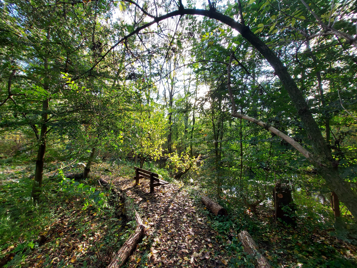
What the route feels like underfoot
Most of the loop is flat and forgiving: compacted gravel, paved cycle-path segments, and well-trodden reserve tracks. You may encounter: - Sandy patches in dune sections (slower walking, especially if dry and windy) - Short muddy or damp stretches after rain, particularly near low-lying meadows, reed edges, or shaded woodland margins - Shared-use paths where cyclists are common—stay predictable and keep right
Even with “0 m gain,” coastal wind can make exposed sections feel more demanding than the profile suggests.
Landmarks, landscapes, and the “why here” of it all
Heemtuin (native plant garden / living landscape exhibit)
A “heemtuin” is typically a curated native-plant garden designed to showcase local habitats—think dune scrub, wet meadow species, and woodland-edge plants arranged in a way that mirrors the region’s natural gradients. It’s a great place to slow down early in the hike and calibrate what you’ll see later “in the wild”: seasonal wildflowers, pollinator activity, and interpretive signage in many cases.
De Schaapskooi (sheepfold) and dune management
Where you pass the Schaapskooi area, you’re seeing a very Dutch form of conservation in action. Sheep grazing is often used to keep dunes and grasslands open, preventing scrub from taking over and maintaining habitat diversity. If sheep are present:
- Give them space; don’t try to pass through the middle of a flock
- Expect temporary electric fencing and signed gates—leave gates as you find them
- Dogs may need to be leashed (and in some reserves, not permitted on certain tracks)
Olaertsduyn and the coastal dune belt
“Olaertsduyn” points to the historic dune landscapes that once formed a shifting barrier between sea and inland settlements. These dunes have long been shaped by:
- Sand movement and wind
- Human stabilization efforts (planting, fencing, managed grazing)
- Water management—in many parts of Zuid-Holland, dunes are tied to freshwater infiltration and drinking-water protection zones
You’ll likely notice the classic transitions: open dune grassland → scrubby thickets → sheltered woodland pockets. Even when the trail is flat, the scenery changes frequently.
Nature and wildlife to look out for
This region is rich in everyday wildlife, with occasional “wow” sightings depending on season and time of day.
- Birdlife: Expect songbirds in scrub and woodland edges, waterfowl near wetter pockets, and raptors (buzzards/kestrels) using open areas for hunting. In migration seasons, keep an eye on overhead movement and reed-edge activity.
- Mammals: Rabbits are common in dune systems; foxes are possible, especially early/late. In some Dutch dune reserves, grazers (cattle/ponies) may be used—give them a wide berth and don’t approach for photos.
- Plants: Dune flora can be surprisingly specialized—look for tough, wind-adapted grasses and low shrubs on exposed ridges, with richer understory plants where the trail dips into shelter.
Navigation and practical planning (what to bring, what to watch)
- Navigation: Use HiiKER for the loop track and to confirm any short detours around seasonal closures. Dune reserves sometimes reroute paths to protect nesting areas or manage erosion.
- Footwear: Light hiking

Surfaces
Asphalt
Unknown
Dirt
Sand
Cobblestone
Gravel
Concrete
Comments and Reviews
User comments, reviews and discussions about the Heemtuin, De Schaapskooi and Olaertsduyn Loop, Netherlands.
average rating out of 5
0 rating(s)