Download
3D Flyover
Add to list
More
10.8 km
~2 hrs 10 min
0 m
Loop
“Stroll through centuries-old dikes and vibrant wetlands, where Dutch ingenuity and nature beautifully entwine.”
Starting near the village of Willemstad in the province of North Brabant, this 11 km (about 6.8 miles) loop trail offers a flat, easy walk with virtually no elevation gain, making it accessible for most hikers. The route weaves through the unique Dutch landscape of the Volkerak, Galathesedijk, and Groote Adriana - Theodoradijk, an area shaped by centuries of water management and agricultural development.
Getting There
Willemstad is easily accessible by car via the A29 and N59 highways, with parking available near the historic fortress town center. For those using public transport, buses from Rotterdam and Breda connect to Willemstad, with the nearest bus stop at Willemstad, Mauritshuis, just a short walk from the trailhead.
Trail Overview
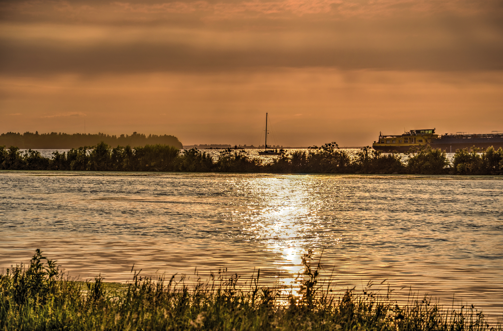
The hike begins close to the Willemstad fortress, a star-shaped fortification dating back to the late 16th century, built as part of the Dutch Water Line defense system. The first section leads you along the Volkerak, a large tidal lake that was once part of the open sea before the Delta Works closed it off. The dikes and embankments here are a testament to Dutch ingenuity in water management.
Nature and Wildlife
As you follow the Galathesedijk, expansive views open up over the water and surrounding polders. This area is a haven for birdlife, especially during migration seasons. Expect to see flocks of geese, herons, and sometimes even spoonbills. The wetlands and reed beds provide habitat for a variety of amphibians and insects, making this a lively spot for nature enthusiasts.
Historical Significance
The Groote Adriana and Theodoradijk sections of the route pass through reclaimed land, where you can observe the intricate network of canals and sluices that have kept the region dry for centuries. These dikes are named after the polder farms and landowners who played a role in the area's development. Along the way, you may spot old farmhouses and pumping stations, some of which date back to the 19th century.
Points of Interest
At approximately 5 km (3.1 miles), the trail skirts the edge of the Volkerak locks, one of the largest inland shipping locks in Europe. This engineering marvel is a great spot to pause and watch the boats pass through. Continuing along the Theodoradijk, the landscape transitions from open water views to lush meadows and grazing cattle, with the occasional windmill dotting the horizon.
Navigation and Trail Conditions
The entire route is flat, with well-maintained gravel and paved paths suitable for walking year-round. There are few shaded sections, so sun protection is recommended in summer. The trail is clearly marked, but for precise navigation and up-to-date trail conditions, use HiiKER’s digital maps and GPS features.
Facilities and Refreshments
Willemstad offers several cafes and restaurants, particularly around the harbor area, making it easy to enjoy a meal before or after your hike. There are limited facilities along the dike sections, so bring water and snacks, especially if hiking outside of the main tourist season.
This easy, scenic loop is ideal for those interested in Dutch history, water management, and birdwatching, offering a peaceful escape into the heart of the Netherlands’ reclaimed landscapes.

Surfaces
Asphalt
Unknown
Comments and Reviews
User comments, reviews and discussions about the Volkerak and Galathesedijk and Groote Adriana - Theodoradijk, Netherlands.
average rating out of 5
0 rating(s)