Download
3D Flyover
Add to list
More
410.3 km
~14 days
1020 m
Multi-Day
“Embark on the Noaberpad, a scenic and culturally-enriched journey through the heart of Dutch-German heritage.”
Spanning approximately 410 kilometers (around 255 miles) with an elevation gain of roughly 1000 meters (3280 feet), the Noaberpad is a point-to-point trail that begins near Oldambt in the Netherlands and meanders through a diverse landscape before reaching its end point. This medium-difficulty hike offers a unique blend of natural beauty, cultural experiences, and historical insights.
Getting to the Trailhead
To start your journey on the Noaberpad, you can reach the trailhead near Oldambt by public transport or car. If you're coming by train, the nearest station is in Winschoten, from which you can take a bus or taxi to the starting point. For those driving, parking is available in the vicinity of the trailhead. It's advisable to use a navigation tool like HiiKER to pinpoint the exact starting location and plan your route accordingly.
Trail Experience
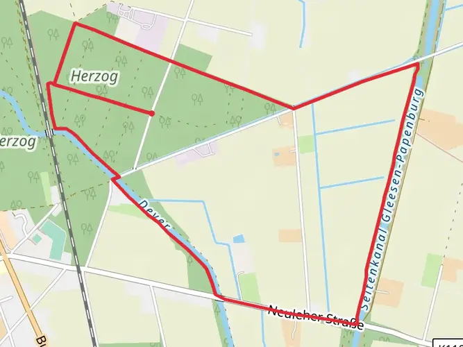
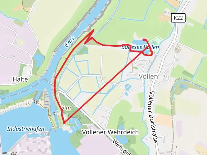
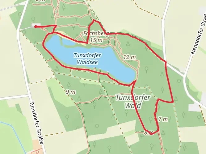
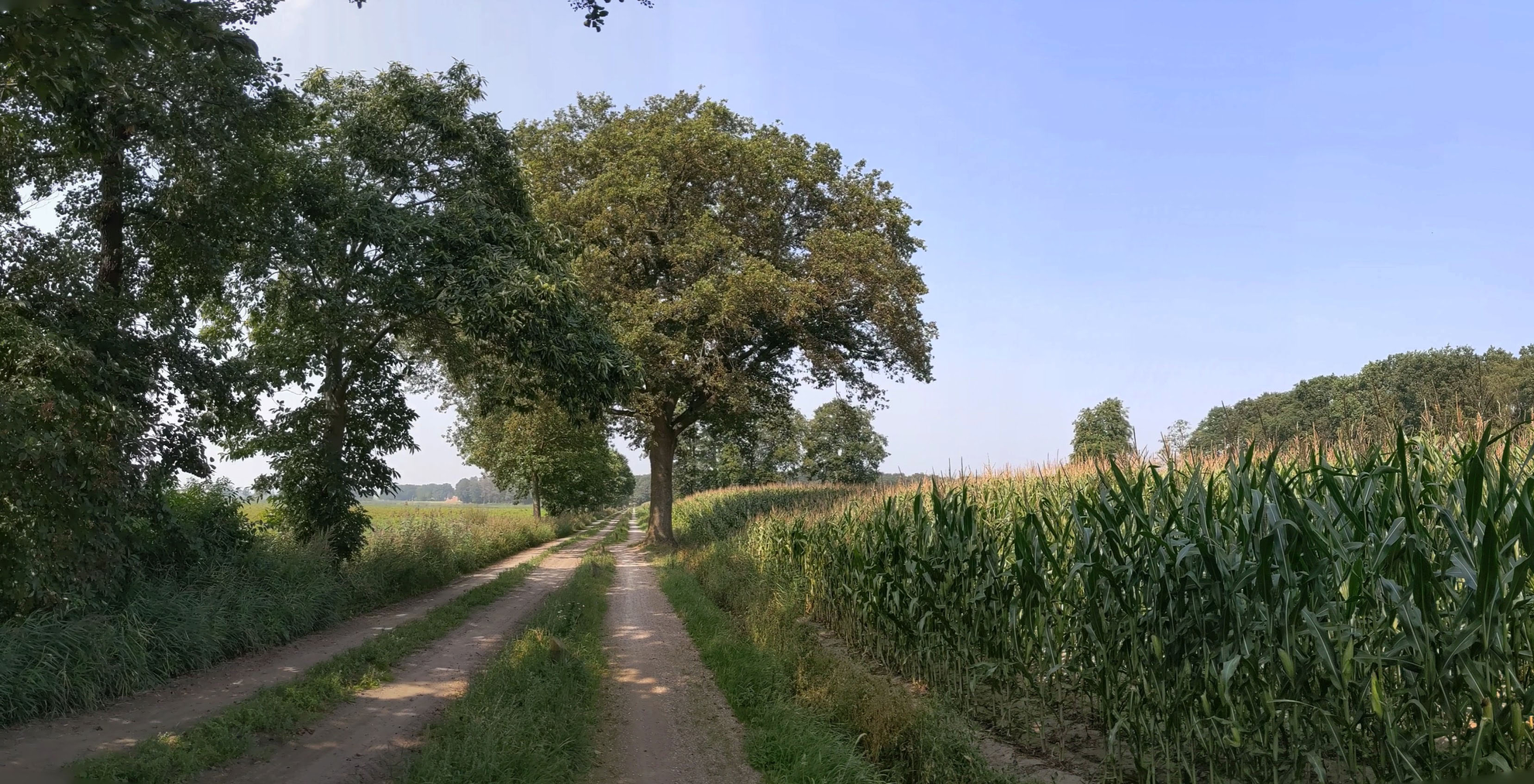
As you embark on the Noaberpad, you'll traverse a variety of landscapes including lush meadows, serene forests, and picturesque villages. The trail is well-marked, guiding hikers through the Dutch provinces of Groningen, Drenthe, and Overijssel, and eventually crossing into Germany.
Cultural and Historical Landmarks
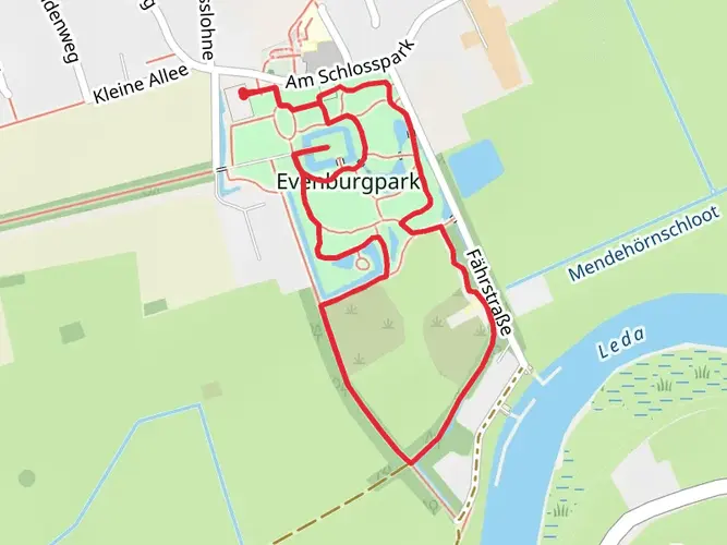
One of the highlights of the Noaberpad is the rich cultural heritage encountered along the way. The trail passes through regions that have been shaped by centuries of human settlement, agriculture, and trade. Hikers will encounter historical landmarks such as ancient dolmens, remnants of medieval structures, and windmills that symbolize the Netherlands' enduring relationship with water management.
Natural Beauty and Wildlife
Nature enthusiasts will appreciate the diverse ecosystems along the Noaberpad. The trail offers opportunities to spot local wildlife, including various bird species, and to enjoy the unique flora of the region. The changing seasons bring different aspects of the landscape to life, from blooming wildflowers in spring to the golden hues of autumn leaves.
Preparation and Planning
Given the trail's length, it's essential to plan your hike in stages, especially if you intend to complete the entire route. There are numerous accommodation options along the way, from campsites to bed and breakfasts, allowing for a comfortable multi-day trek. Ensure you have adequate supplies, as some sections of the trail may not pass through towns for extended distances.
Navigation and Safety
While the Noaberpad is well-marked, carrying a reliable navigation tool like HiiKER on your smartphone can enhance your hiking experience by providing real-time location tracking and route information. Always check the weather forecast before setting out and be prepared for changes in conditions, especially in the more remote sections of the trail.
Accessibility
The Noaberpad is accessible to a wide range of hikers due to its moderate difficulty rating. However, some sections may be challenging, with uneven terrain or slight elevation changes. It's important to assess your fitness level and hiking experience before attempting longer stretches of the trail.
By taking the time to prepare and plan, hikers can fully immerse themselves in the Noaberpad's blend of natural beauty, cultural richness, and historical significance, making for a memorable and rewarding adventure.

Frequently asked questions
How long is the Noaberpad and how many stages does the Noaberpad have?
The Noaberpad is listed here as 410.31 km with 1,020 m of total ascent, which puts it firmly in long-distance, multi-day territory. The current signed route is commonly divided into 23 stages, running along the Dutch-German border from Bad Nieuweschans in Groningen to Milsbeek in Limburg.
Where does the Noaberpad start and where is the endpoint of the Noaberpad?
The Noaberpad starts at Bad Nieuweschans in the northeast of the Netherlands, close to the German border. Its current endpoint is Milsbeek in Noord-Limburg, after crossing a wide stretch of border country through Groningen, Drenthe, Overijssel, Gelderland, and Limburg.
How does the Noaberpad route run through the Netherlands and Germany?
The Noaberpad follows the Dutch-German border corridor rather than staying in one country the whole time. It passes through seven distinct border landscapes and alternates between Dutch and German territory, linking places such as Bad Nieuweschans, Ter Apel, Enschede, Winterswijk, Bocholt, Terborg, Elten, Kleve, and Milsbeek.
What is Noaberpad stage 1 and where does Noaberpad etappe 1 finish?
Noaberpad stage 1 runs from Bad Nieuweschans to Bellingwolde. That opening stage is about 22.1 km, making it a manageable first day on an otherwise very long trail, and it introduces the flat, easy-going terrain that characterizes much of the route.
What is Noaberpad etappe 19 and how long is Noaberpad stage 19?
Noaberpad stage 19 is the Bocholt to Isselburg section. It is about 17.0 km long and sits in the western Germany border zone, following the same low-relief, easy-walking profile that makes the Noaberpad accessible compared with more mountainous long-distance trails.
Is the Noaberpad difficult, and can beginners hike the Noaberpad?
The Noaberpad is generally considered an easy long-distance trail. With about 1,020 m of total elevation gain spread across more than 410 km, the challenge comes more from the overall distance and multi-day logistics than from steep climbing, so individual stages are often suitable for beginners with basic walking fitness.
Can you cycle the Noaberpad, or is the Noaberpad only for walking?
The Noaberpad is a long-distance walking trail rather than a designated bike route. Some sections use quiet roads and tracks that cyclists can physically ride, but the route is signed and organized in walking stages, so anyone planning the Noaberpad as intended should treat it as a hike, not a through-cycle route.
Comments and Reviews
User comments, reviews and discussions about the Noaberpad, Netherlands.
4.5
average rating out of 5
6 rating(s)