Download
3D Flyover
Add to list
More
13.1 km
~2 hrs 38 min
6 m
Point-to-Point
“Wander riverside paths bursting with blossoms and history, where tranquil nature meets centuries-old Dutch charm.”
Embarking on the journey from Odijk to Utrecht's Binnenstad via the Jaagpad offers a serene 13-kilometer (approximately 8-mile) hike along the Kromme Rijn River. This flat, easy trail is rich in natural beauty and historical significance, making it ideal for hikers of all levels.
Starting Point and Access
The hike begins in Odijk, a charming village in the province of Utrecht. For those arriving by public transport, buses from Utrecht Central Station serve Odijk regularly. If driving, parking is available near the Singelpark in Odijk, providing convenient access to the trailhead.
Trail Overview
The route follows the historic Jaagpad, a towpath that runs alongside the Kromme Rijn River. This path was traditionally used by horses to tow boats upstream, a practice that has left a lasting imprint on the region's landscape. The trail is well-maintained and predominantly flat, making it accessible for hikers of all ages and abilities.
Natural Highlights
Kromme Rijn Riverbanks: The trail closely follows the meandering Kromme Rijn, offering picturesque views of the river and its lush surroundings. The riverbanks are home to a variety of waterfowl and other wildlife, providing ample opportunities for birdwatching.
Orchards and Meadows: As you progress, you'll pass through areas dotted with traditional Dutch orchards and expansive meadows. In spring, the blossoming fruit trees create a vibrant display of colors, while summer brings lush greenery and the hum of pollinators.
Historical Landmarks
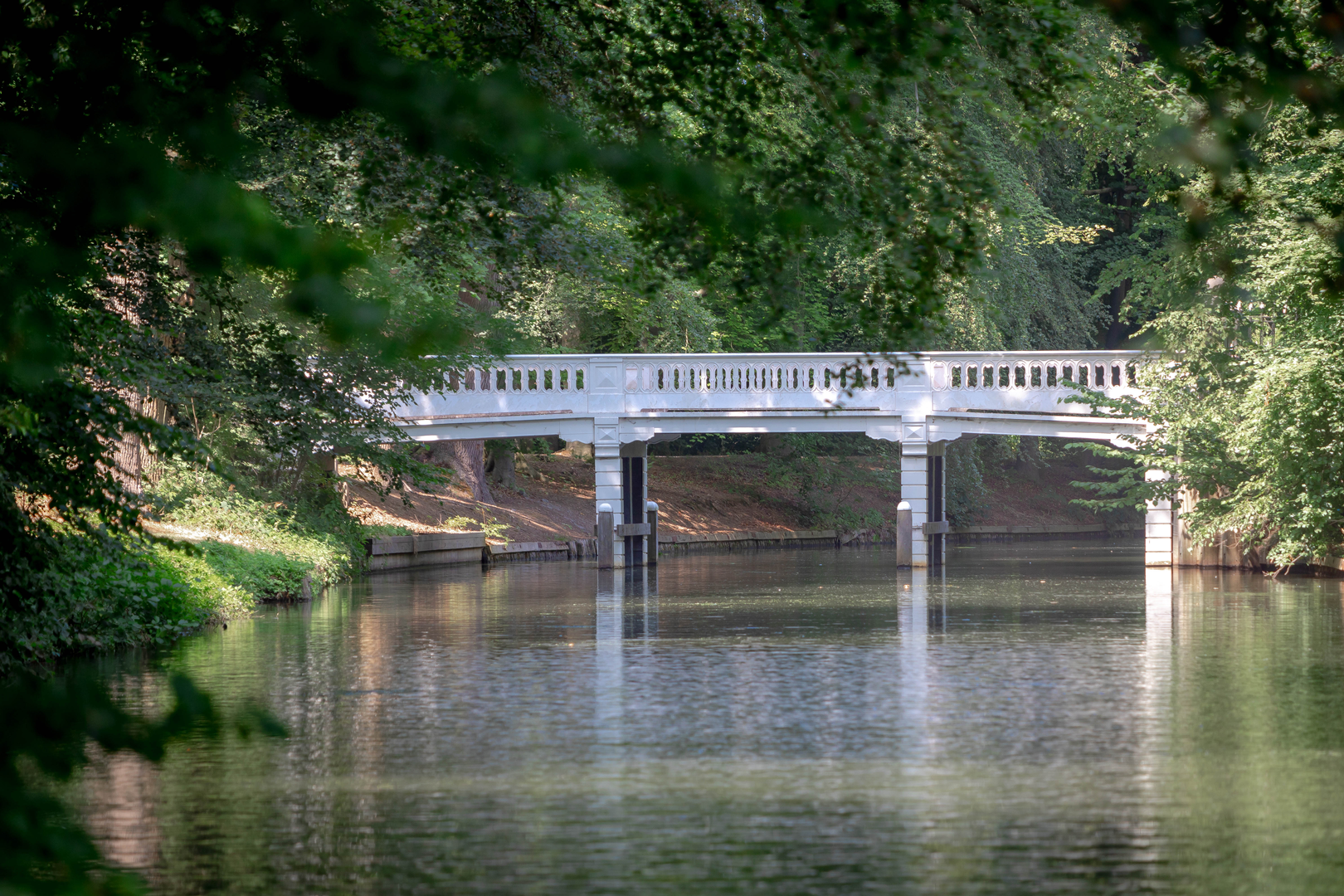
Amelisweerd and Rhijnauwen Estates: Approximately halfway along the route, you'll encounter the historic estates of Amelisweerd and Rhijnauwen. These estates feature centuries-old manor houses, well-preserved gardens, and dense woodlands. The area is steeped in history, with roots tracing back to the medieval period.
Fort Rhijnauwen: Located near the estates, Fort Rhijnauwen is the largest fort of the New Dutch Waterline, a 19th-century defense line. While the fort itself is not always open to the public, its imposing structure can be viewed from the trail.
Trail Conditions and Considerations
Path Surface: The trail consists of dirt and gravel paths, with some sections paved, especially as you approach Utrecht. After periods of rain, certain areas may become muddy, so waterproof footwear is recommended.
Amenities: Facilities such as restrooms and cafes are available at intervals along the route, particularly near the estates and as you enter Utrecht. It's advisable to carry water and snacks, especially if you plan to take your time exploring the various points of interest.
Navigation
The trail is well-marked, but carrying a reliable navigation tool is recommended to ensure you stay on course.
Wildlife and Flora
Birdlife: The Kromme Rijn area is a haven for bird enthusiasts. Common sightings include herons, kingfishers, and various species of ducks and geese. The diverse habitats along the river support a rich avian population throughout the year.
Flora: The trail passes through diverse landscapes, including wetlands, forests, and cultivated lands. Depending on the season, you may encounter blooming wildflowers, mature oak and beech trees, and fields of crops.
Historical Significance
The Kromme Rijn River has played a pivotal role in the region's history. In Roman times, it formed part of the northern boundary of the Roman Empire, known as the Limes. The river facilitated trade and movement, contributing to the development of settlements along its banks. The estates of Amelisweerd and Rhijnauwen have histories dating back to the medieval period, reflecting the area's longstanding significance.
Reaching Utrecht's Binnenstad
As you approach Utrecht, the trail transitions from rural landscapes to urban settings. The final stretch leads you into the heart of Utrecht's Binnenstad, where you can explore the city's historic canals, the iconic Dom Tower, and a variety of shops and eateries.
Transportation Back
Utrecht Central Station is easily accessible from the city center, offering train and bus connections to various destinations, including a return trip to Odijk if needed.
This hike offers a harmonious blend of natural beauty and historical depth, providing a peaceful yet enriching experience through one of the Netherlands' most picturesque regions.

Surfaces
Unknown
Gravel
Asphalt
Unpaved
Cobblestone
Concrete
Sand
Wood
Dirt
Comments and Reviews
User comments, reviews and discussions about the Odijk to Binnenstad via Jaagpad, Netherlands.
average rating out of 5
0 rating(s)