Download
Preview
Add to list
More
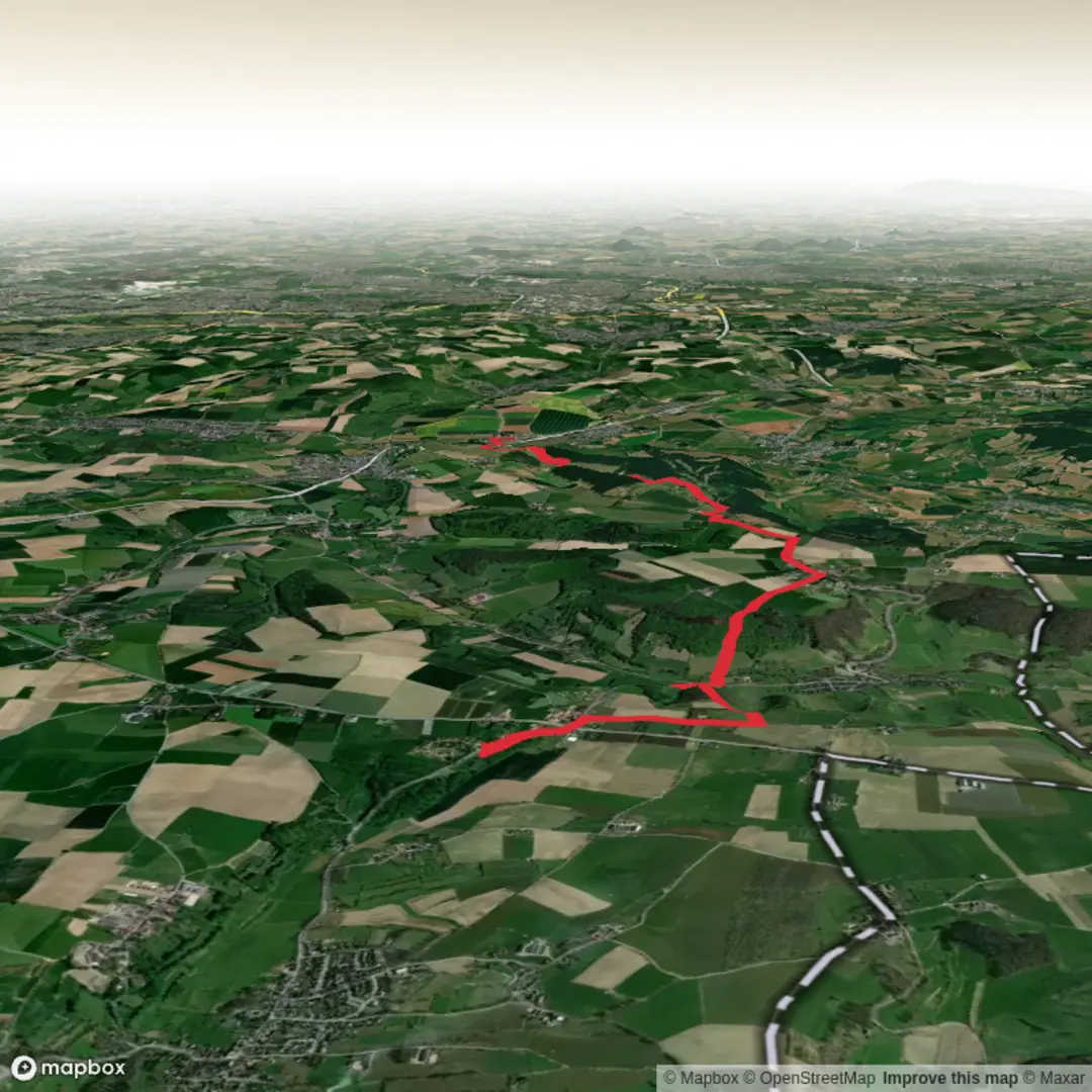
9.7 km
~2 hrs 7 min
114 m
Point-to-Point
“Wander through emerald hills, storied villages, and timeless landmarks on a journey rich in Limburg charm.”
Embarking on the approximately 10-kilometer (6.2-mile) journey from Hoogcruts to Wittem via Gulpen offers a delightful exploration of South Limburg's rolling landscapes, rich history, and charming villages. With an elevation gain of around 100 meters (328 feet), this easy-rated hike is suitable for most walkers seeking a blend of natural beauty and cultural heritage.
Starting Point: Hoogcruts
Begin your hike in the hamlet of Hoogcruts, located near the intersection of the N598 provincial road. This rural settlement is notable for the ruins of a 15th-century monastery, reflecting the area's medieval religious significance. The name "Hoogcruts" derives from a prominent cross at the main intersection, known locally as "Ge Kruuts." (aroundus.com)
Route Overview
From Hoogcruts, head north towards the village of Gulpen. The path meanders through the picturesque Gulp Valley, characterized by gentle hills, verdant meadows, and the meandering Gulp River. This region is renowned for its half-timbered farmhouses and traditional Limburgian architecture.
Gulpen: A Central Hub
Approximately 5 kilometers (3.1 miles) into your hike, you'll arrive in Gulpen, a vibrant town offering various amenities. Here, you can visit the St. Petrus Church, dating back to the 13th century, and the Gulpener Brewery, known for its locally crafted beers. Gulpen serves as an excellent spot for a mid-hike break, with several cafés and restaurants available.
Continuing to Wittem
Leaving Gulpen, proceed eastward towards Wittem. The trail gently ascends, providing panoramic views of the surrounding countryside. Along the way, you'll pass through serene woodlands and open fields, offering opportunities to observe local wildlife such as roe deer, foxes, and various bird species.
Wittem: Historical Significance
Upon reaching Wittem, approximately 10 kilometers (6.2 miles) from your starting point, you'll encounter several historical landmarks. The Redemptorist Monastery, established in the 18th century, is a notable site, offering a peaceful retreat and a rich history. Nearby, Wittem Castle, with origins in the 12th century, stands as a testament to the region's medieval past. (visitzuidlimburg.nl)
Transportation and Accessibility
To reach Hoogcruts, you can drive and park near the N598 provincial road. For those using public transportation, buses connect major towns in South Limburg, including Gulpen and Wittem. It's advisable to check the latest schedules and routes to plan your journey accordingly.
Navigation and Preparation
For detailed trail maps and navigation assistance, consider using HiiKER, which provides comprehensive information on hiking routes in the region. Ensure you're equipped with appropriate footwear, as some sections may be uneven or muddy, especially after rain. Carrying water and snacks is recommended, though opportunities for refreshments are available in Gulpen and Wittem.
This hike offers a harmonious blend of natural beauty, historical exploration, and cultural immersion, making it a rewarding experience for those seeking to discover the heart of South Limburg.

Surfaces
Unknown
Asphalt
Ground
Gravel
Concrete
Grass
Sand
Comments and Reviews
User comments, reviews and discussions about the Hoogcruts to Wittem via Gulpen Wittem, Netherlands.
average rating out of 5
0 rating(s)