Download
Preview
Add to list
More
9.0 km
~2 hrs 3 min
156 m
Loop
“Stroll through storybook villages, blossoming woodlands, and sweeping hilltop views in South Limburg’s vibrant patchwork.”
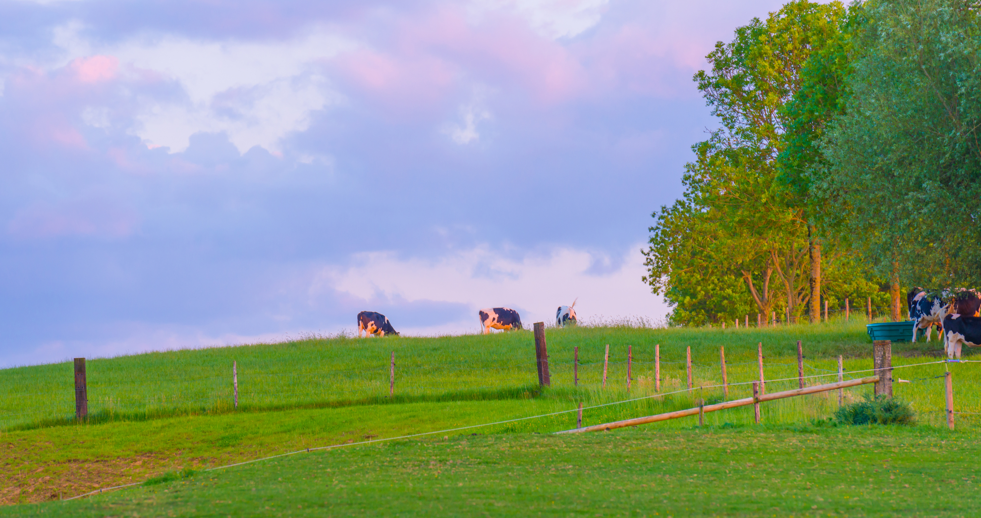
Starting from the charming village of Eijsden, this 9 km (about 5.6 miles) loop with roughly 200 metres (656 feet) of elevation gain offers a gentle introduction to the rolling hills and patchwork fields of South Limburg, the Netherlands’ most undulating region. The trailhead is conveniently located near Eijsden railway station, making it easily accessible by train from Maastricht (a 10-minute ride) or by car, with parking available in the village center.
Getting Oriented and Setting Out
The route begins near the historic Eijsden Castle, a 17th-century moated estate surrounded by landscaped gardens and the River Maas. From here, the path quickly leaves the village behind, winding through orchards and open meadows. Early in the hike, you’ll cross the Maas via a small ferry (check seasonal schedules), or use the nearby bridge if the ferry isn’t running. HiiKER is recommended for navigation, as the route weaves through a mix of marked and unmarked paths.
Through the Limburg Countryside
After about 2 km (1.2 miles), the trail ascends gently into the plateau region, passing through the hamlet of Mesch, one of the oldest villages in the Netherlands. Look for the Romanesque St. Pancratius Church, dating back to the 9th century, and the remnants of medieval field patterns in the surrounding landscape. The area is known for its rich birdlife—keep an eye out for buzzards, kestrels, and, in spring, the vibrant blue flash of kingfishers along the streams.
Woodlands and Panoramic Views
Midway through the loop, the path enters the Bovenhout woodland, a tranquil beech and oak forest. Here, the trail undulates gently, with short but steep sections that account for most of the elevation gain. The forest floor is carpeted with wild garlic and bluebells in spring, and deer sightings are not uncommon. At around 5 km (3.1 miles), a clearing offers panoramic views over the Voer Valley and the distant Ardennes hills.
Cultural and Historical Highlights
Approaching Margraten, the route skirts the edge of the American War Cemetery, a poignant World War II site where over 8,000 US soldiers are buried. While the trail doesn’t enter the cemetery grounds, the sight of the white crosses and the peaceful setting is a reminder of the region’s turbulent history during the liberation of the Netherlands.
Return to Eijsden
The final stretch descends through fruit orchards and past traditional Limburg farmhouses, many with characteristic half-timbered facades. In late summer and autumn, the orchards are heavy with apples and pears, and local farm shops often sell fresh produce. The loop closes back at Eijsden, where riverside cafés offer a chance to relax and reflect on the day’s walk.
Public transport users can return directly from Eijsden station, while drivers will find their vehicles nearby. For navigation and up-to-date trail conditions, HiiKER provides detailed maps and user reports, ensuring a smooth and enjoyable hike through one of the Netherlands’ most scenic and historically rich landscapes.

Surfaces
Unknown
Asphalt
Dirt
Concrete
Sand
Grass
Comments and Reviews
User comments, reviews and discussions about the Eijsden - Margraten and Bovenhoutwandeling Loop, Netherlands.
average rating out of 5
0 rating(s)