Download
3D Flyover
Add to list
More
5.9 km
~1 hrs 10 min
0 m
Loop
“Drift through wide-skied polder lanes, mirror-still weels, and bird-haunted ditches—watch for damp patches.”
A gentle, mostly level loop of about 6 km (3.7 mi) with roughly 0 m (0 ft) of climbing, this walk is ideal for an unhurried outing through lowland polder scenery—quiet lanes, field edges, and watery pockets that attract birds. Expect easy footing overall, with a few short stretches where paths can feel damp or soft after rain.
Getting to the start (car + public transport)
Because the hike head is listed only as “near” (with no coordinates or town provided), the most reliable way to pinpoint the exact start is to open the route in HiiKER and use its start-point navigation. Once you share the start lon/lat (or a HiiKER link), I can convert it to the nearest known address or landmark and tailor the directions precisely.
By car - In this part of the Low Countries, loops like this commonly begin near a small hamlet, farm access road, or a signed walking node (knooppunt). Plan for informal roadside parking or a small pull-in near a junction. - Bring a small coin/card just in case you end up using a village lot with time limits.
By public transport - Typically, you’ll take a train to the nearest larger town, then a local bus toward the smaller villages around Hof Notendijk/Schouwersweel, finishing with a short walk (often 0.5–2 km / 0.3–1.2 mi) to the trailhead. - If you tell me the nearest town you’re coming from (or provide coordinates), I’ll outline the most practical station/bus combination.
What to expect on the ground - Terrain: flat polder paths, farm tracks, and possibly short paved connectors. Even with “0 m” gain, you may notice tiny dike undulations that don’t register much on elevation stats. - Surface: a mix of compacted gravel/earth and pavement. After wet weather, expect muddy edges, shallow puddles, and slick grass on embankments. - Exposure: open landscape can mean steady wind; a light shell can matter more than you’d think on a cool day. - Wayfinding: intersections can come quickly in a patchwork of fields and drainage channels—keep HiiKER handy and confirm turns at each junction rather than “walking on and hoping.”
Route flow and approximate distances
0.0–1.5 km (0.0–0.9 mi): settling into the polder You’ll likely start on a quiet lane or track that immediately feels rural—wide skies, straight lines of drainage ditches, and long views across fields. This first section is usually the easiest for pacing and warming up: flat, straightforward, and calm. Watch for: - Narrow bridges over ditches (often with low rails) - Farm vehicle traffic on shared tracks—step aside early and visibly - Electric fencing near grazing areas (common along field margins)
1.5–3.5 km (0.9–2.2 mi): water features and birdlife As the loop approaches areas associated with a “weel” (a water-filled depression often linked to historic dike breaches), the landscape tends to feel wetter and more alive. Even if the route stays on firm paths, you’ll often be walking beside: - Reedbeds and wet margins (excellent for small birds and amphibians) - Still water that can reflect wind and weather dramatically
Wildlife to look out for (season-dependent):
- Waterfowl (ducks, geese, swans) on open water and ditches
- Waders (lapwing, heron/egret-type silhouettes) in shallow edges and fields
- Raptors (kestrel-like hovering behavior) hunting over open ground
If you’re bringing binoculars, this is the section where they pay off most.
3.5–6.0 km (2.2–3.7 mi): estate edges, lanes, and the return “Hof” place-names often indicate a historic farmstead, manor, or estate-associated holding. The return leg commonly threads along calmer lanes and field boundaries, sometimes with a more sheltered feel if there are hedgerows or tree lines. Expect: - A few short paved stretches where you may meet cyclists - Gates or stiles (usually simple) if the path crosses pasture edges - Occasional soft verges—stay centered on the firm track to avoid ankle-rolling ruts
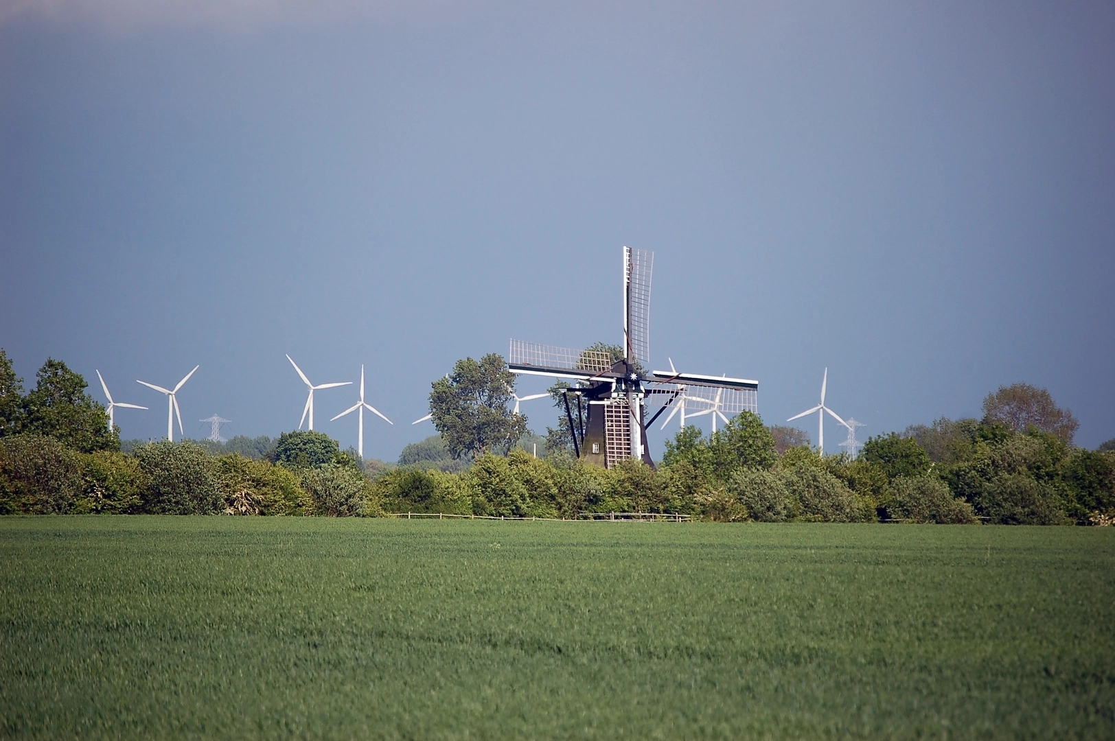
Historical and landscape context (why it looks like this) This is classic engineered lowland: fields laid out with drainage in mind, water managed through ditches, culverts, and subtle embankments. Features like a “weel” are especially meaningful in delta and polder regions—often formed when storm surges or high water historically breached a dike, scouring out a deep pool that remained as a permanent water body. Even when the surrounding land is intensely managed, these watery remnants can become small ecological hotspots.
Meanwhile, names like Hof Notendijk hint at older landholding patterns—“hof” suggesting a significant farm/estate presence, and “dijk” pointing to the ever-present relationship with water control. The result is a landscape where “nature” and “history” are intertwined: the straight ditches and raised lines aren’t just scenery, they’re the reason the land is walkable at all.
Practical planning notes (easy doesn’t mean “no prep”) - Time needed: most hikers will take 1.25–2 hours for 6 km (

Surfaces
Asphalt
Unknown
Gravel
Grass
Comments and Reviews
User comments, reviews and discussions about the Schouwersweel and Hof Notendijk Loop, Netherlands.
average rating out of 5
0 rating(s)