Download
3D Flyover
Add to list
More
25.8 km
~5 hrs 11 min
21 m
Point-to-Point
“Meandering past wildflower woods, ancient churches, and sunlit fields, this route offers tranquil countryside charm.”
Starting from the small Dutch town of Nieuwstadt, this 26 km (16 miles) route to Vlodrop via Heugender Weg is a gentle, flat walk with virtually no elevation gain, making it accessible for most hikers. Nieuwstadt is easily reached by public transport, with regular buses connecting from Sittard railway station, or by car via the N276, where parking is available near the town center.
Setting Out from Nieuwstadt
The trail begins near the historic heart of Nieuwstadt, close to the Sint-Janskerk, a centuries-old church that marks the town’s medieval roots. Heading southeast, the route quickly leaves the urban area behind, entering the open Limburg countryside. The landscape here is characterized by expansive fields, hedgerows, and occasional patches of woodland, typical of the region’s agricultural heritage.
Landmarks and Natural Features
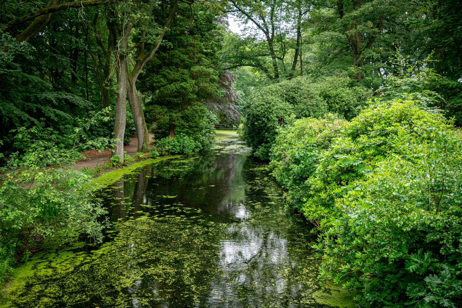
About 5 km (3 miles) in, the path skirts the edge of the Limbrichterbos, a tranquil woodland known for its spring wildflowers and birdlife, including woodpeckers and songbirds. The trail continues along quiet country lanes and farm tracks, passing through small hamlets such as Susteren, where the Romanesque Abbey Church of St. Amelberga stands as a testament to the area’s religious history.
Midway, around the 13 km (8 miles) mark, the route crosses the narrow Juliana Canal near Roosteren. This canal, constructed in the early 20th century, played a vital role in regional trade and transport. The crossing offers a good spot for a break, with benches and views of passing barges.
Heugender Weg and Borderlands
The trail follows Heugender Weg, a rural road that meanders through the borderlands between the Netherlands and Germany. Here, the landscape becomes more wooded, with mixed forests providing shade and habitat for deer, foxes, and a variety of woodland birds. The proximity to the border is evident in the occasional boundary markers and bilingual signs.
Approaching Vlodrop
As the route nears Vlodrop, it enters the Meinweg National Park, a unique area of heathland, fens, and forest. This protected landscape is home to rare species such as the smooth snake and the European nightjar. The final stretch offers a chance to spot wildflowers and butterflies, especially in late spring and summer.
The hike concludes in the village of Vlodrop, near the historic St. Martinus Church and close to the entrance of Meinweg National Park. Vlodrop is accessible by bus from Roermond, which has direct train connections to major Dutch cities.
Navigation and Preparation
The entire route is well-marked, but for detailed navigation and up-to-date trail conditions, HiiKER is recommended. The flat terrain and well-maintained paths make this hike suitable for all fitness levels, though sturdy walking shoes are advised due to occasional muddy sections after rain. Water and snacks should be carried, as services are limited between villages. The region’s mild climate means the trail can be enjoyed year-round, though spring and early autumn offer the most pleasant conditions for wildlife and scenery.

Surfaces
Unknown
Asphalt
Dirt
Gravel
Ground
Grass
Paved
Unpaved
Sand
Concrete
Comments and Reviews
User comments, reviews and discussions about the Nieuwstadt to Vlodrop via Heugender Weg, Netherlands.
average rating out of 5
0 rating(s)