Download
3D Flyover
Add to list
More
18.8 km
~3 hrs 46 min
7 m
Point-to-Point
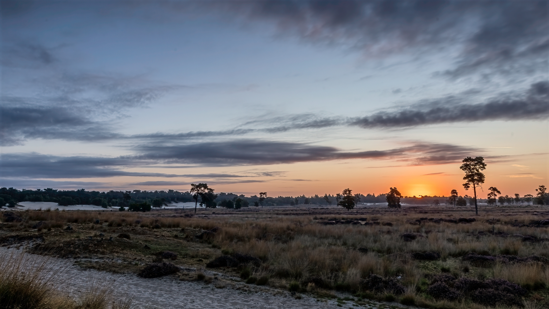
“Wander through storied villages, wildflower meadows, and marshland bridges on this vibrant North Brabant adventure.”
Embarking on the Hertogenpad from Nieuwkuijk to De Oost offers a delightful journey through the heart of North Brabant, Netherlands. This approximately 19-kilometer (about 12-mile) trail is predominantly flat, making it accessible for hikers of all levels. Along the way, you'll traverse diverse landscapes, encounter historical landmarks, and immerse yourself in the region's rich natural beauty.
Starting Point: Nieuwkuijk
Your adventure begins in the quaint village of Nieuwkuijk, situated about 10 kilometers (6 miles) west of 's-Hertogenbosch. This village, first mentioned in 1383, has a storied past linked to the noble family of Cuijk. Notably, Castle d'Oultremont, dating back to the 15th century, stands as a testament to the area's historical significance. The castle underwent restoration in 2019, removing its previous pink paint and returning it to its former glory. (en.wikipedia.org)
Heidijk and Nieuwkuijkse Wiel
As you depart Nieuwkuijk, you'll walk along the Heidijk, a dike constructed in the Middle Ages to protect the region from the Maas River's floods. In 1880, a breach in this dike led to the formation of the Nieuwkuijkse Wiel, a large water body that now serves as a habitat for various waterfowl and aquatic plants. The surrounding area, including the Nieuwkuijkse Bosje, offers a glimpse into the region's natural resilience and beauty. (wandelpaden.eu)
Vlijmens Ven Nature Reserve
Continuing along the trail, you'll enter the Vlijmens Ven, a protected nature reserve managed by Natuurmonumenten. This area, spanning over 500 hectares (approximately 1,235 acres), is characterized by its wet grasslands and unique flora, including rare orchids. The reserve plays a crucial role in connecting various natural habitats, supporting a diverse range of wildlife. (qdraw.nl)
Moerputtenbrug and the Moerputten Nature Reserve
One of the trail's highlights is the Moerputtenbrug, a historic railway bridge built between 1881 and 1887 as part of the Langstraatspoorlijn. This bridge now serves as a pedestrian walkway, offering panoramic views of the surrounding marshlands. The Moerputten Nature Reserve is renowned for its rich biodiversity, including various bird species and unique plant life. (qdraw.nl)
Approaching De Oost
As you near De Oost, the landscape transitions to more urban settings, with the trail leading you through the outskirts of 's-Hertogenbosch. This city, known for its medieval architecture and vibrant cultural scene, provides an excellent opportunity to explore local history and cuisine.
Transportation to the Trailhead
To reach Nieuwkuijk, you can take a train to 's-Hertogenbosch, a major railway hub in the Netherlands. From there, local buses or taxis can transport you to Nieuwkuijk. If you're driving, Nieuwkuijk is accessible via the A59 motorway, with parking available in the village.
Navigation and Planning
For detailed maps and real-time navigation, consider using HiiKER, a comprehensive tool designed for hikers. It provides up-to-date trail information, helping you plan your journey effectively.
This segment of the Hertogenpad offers a harmonious blend of history, nature, and culture, making it a rewarding experience for those seeking to explore the Dutch countryside.

Surfaces
Sand
Unknown
Dirt
Asphalt
Unpaved
Ground
Gravel
Comments and Reviews
User comments, reviews and discussions about the Nieuwkuijk to De Oost via Hertogenpad, Netherlands.
average rating out of 5
0 rating(s)