Download
3D Flyover
Add to list
More
12.0 km
~2 hrs 24 min
6 m
Loop
“Winding past storybook windmills and riverside blooms, the Angstel Route promises a tranquil Dutch escape.”
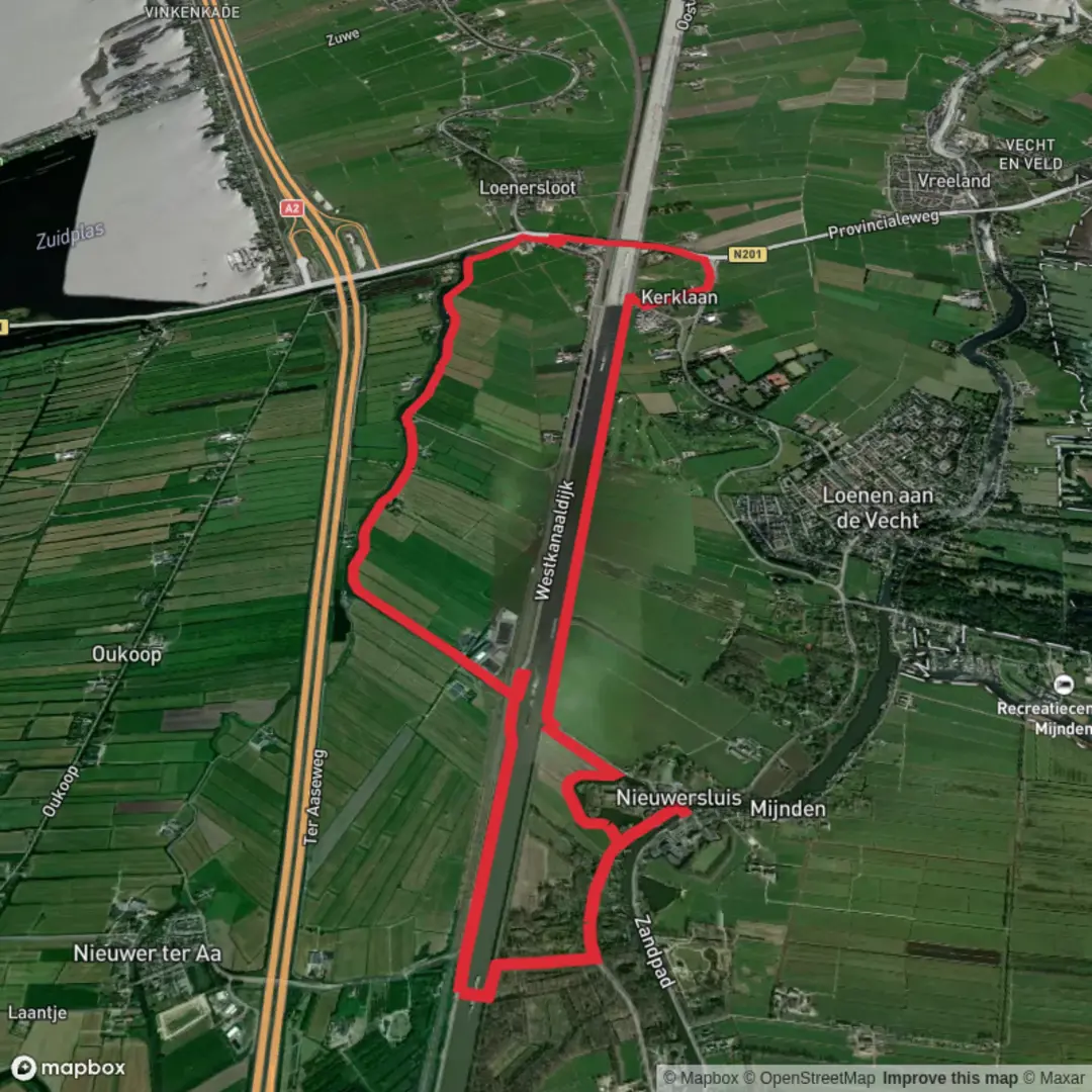
The Angstel Route is a serene 12-kilometer (approximately 7.5-mile) trail with virtually no elevation gain, making it an ideal choice for hikers seeking a leisurely experience. The trailhead is conveniently located near the town of Abcoude in the Netherlands, providing easy access for both local and visiting hikers.
Getting to the Trailhead
For those traveling by public transport, Abcoude is well-served by train services from Amsterdam and Utrecht. From Abcoude Station, it's a short walk to the trailhead. If you're driving, parking is available near the station and in the town center.
Trail Overview
The Angstel Route meanders alongside the Angstel River, offering picturesque views of the Dutch countryside. The flat terrain and well-maintained paths make it suitable for hikers of all ages and fitness levels.
Key Landmarks and Points of Interest
Historic Windmills: Along the route, you'll encounter traditional Dutch windmills, some of which date back to the 17th century. These structures are emblematic of the Netherlands' rich history in water management and agriculture.
Fort Abcoude: Approximately 3 kilometers (1.9 miles) into the hike, you'll pass by Fort Abcoude, part of the Defense Line of Amsterdam, a UNESCO World Heritage site. This fortification was constructed in the late 19th century and offers insight into the country's military history.
Riverside Villages: The trail takes you through charming villages like Baambrugge, where you can admire traditional Dutch architecture and perhaps stop for a refreshment at a local café.
Flora and Fauna
The Angstel Route is rich in biodiversity. Depending on the season, you might observe a variety of bird species, including herons and kingfishers. The riverbanks are adorned with native plants and wildflowers, providing a colorful backdrop to your hike.
Trail Conditions and Navigation
The path is predominantly paved or consists of compacted gravel, ensuring a comfortable walking surface. Signage along the route is clear, but it's advisable to use a reliable navigation tool like HiiKER to stay on track and access additional trail information.
Historical Significance
The region surrounding the Angstel River has been inhabited since medieval times. The river itself played a crucial role in trade and transportation, connecting various settlements. The presence of historic windmills and fortifications along the route underscores the area's strategic and economic importance throughout Dutch history.
Preparation Tips
Footwear: Comfortable walking shoes are recommended, as the trail is flat and well-maintained.
Weather: The Netherlands can experience variable weather; carrying a light rain jacket is advisable.
Amenities: Facilities are available in the villages along the route, but it's a good idea to carry water and snacks.
Embarking on the Angstel Route offers a delightful blend of natural beauty, historical landmarks, and cultural experiences, all within a manageable distance suitable for a day's excursion.

Surfaces
Asphalt
Grass
Unknown
Gravel
Concrete
Unpaved
Paved
Wood
Comments and Reviews
User comments, reviews and discussions about the Angstel Route, Netherlands.
average rating out of 5
0 rating(s)