Download
3D Flyover
Add to list
More
8.8 km
~1 hrs 46 min
7 m
Loop
“A gentle loop through sandy pinewoods and purple-tinged heath, brushing Helhuizen’s quiet rural edges.”
This easy loop is a gentle, mostly level wander through the sandy pine-and-heath landscapes of Overijssel, linking the quiet woods of Remmersbos with the rural edges around Helhuizen. At roughly 9 km / 5.6 mi with negligible elevation gain (about 0–10 m / 0–33 ft overall), it’s well-suited to relaxed pacing, families, and anyone wanting a low-effort nature walk—though expect a few subtly rolling, dune-like undulations typical of this region rather than true “flat pavement.”
Getting to the start (car + public transport)
Because “near” wasn’t fully specified, the most practical, well-known access point for this loop area is around Holterberg / Holten on the edge of Sallandse Heuvelrug (the broader nature reserve that includes nearby heath and forest mosaics). A reliable landmark to navigate to is:
- Holten Canadian War Cemetery (Canadese Begraafplaats Holten), Eekhoornweg, 7451 Holten, Netherlands (veterans.gc.ca)
From there, local forest roads and signed walking routes connect into the Remmersbos/Sprengenberg/Helhuizen area.
By car
- Drive toward Holten (Overijssel). The cemetery area is signposted from the Holten/Holterberg approaches, and there are multiple small parking areas around the Holterberg recreation zone and forest entrances. (veterans.gc.ca)
- Roads in the forest can be narrow; park only in designated pull-ins to avoid blocking farm/forestry access.
By public transport
- Take the train to Holten station (on the Deventer–Almelo line). From the station, you can walk up toward the Holterberg area following local signs toward the Canadian Cemetery/Holterberg. (canadesebegraafplaatsholten.nl)
- A local on-demand bus option is also used in the area (flex service), which can help bridge the “last mile” if you want to start closer to the forest edge. (canadesebegraafplaatsholten.nl)
For on-trail navigation, download the route in HiiKER before you arrive; mobile signal can be patchy under dense canopy.
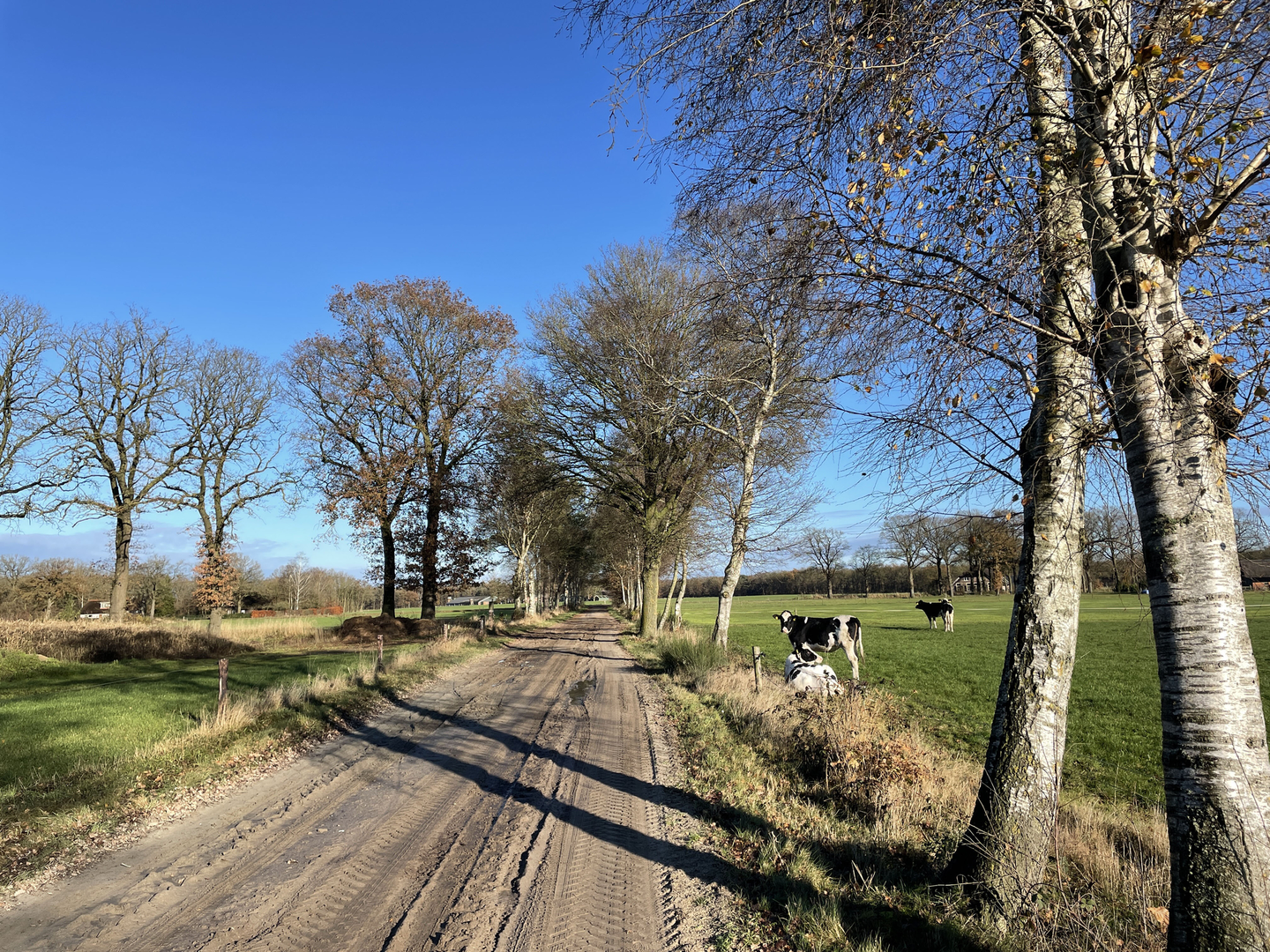
What the walk feels like underfoot and how the loop typically unfolds - 0.0–2.0 km (0.0–1.2 mi): settling into the forest You’ll usually begin on wide, well-used forest tracks—often compact sand or fine gravel—threading through pine plantations mixed with patches of deciduous woodland. The walking is straightforward and forgiving, but after rain the sandy sections can turn soft and slightly energy-sapping. In drier spells, the same sand can feel firm and fast.
2.0–5.5 km (1.2–3.4 mi): Remmersbos to open heath edges As you transition between denser stands and more open clearings, the landscape starts to show the hallmark pattern of this region: alternating forest and heathland. Nearby, the Holterberg/Sallandse Heuvelrug area is known for extensive heath and pine forest mosaics. (sallandseheuvelrug.com)
In late summer, heather can add a purple tint to the edges of the trail corridors; in cooler months, the same areas feel airy and exposed, with more wind.5.5–7.5 km (3.4–4.7 mi): skirting Helhuizen’s rural fringe Helhuizen is a small hamlet area in Overijssel, and the loop’s “human” section tends to be quiet lanes or farm-adjacent tracks—still easy walking, but with more chances to meet cyclists and the occasional local vehicle. (mapcarta.com)
Expect a classic eastern-Dutch countryside feel: hedgerows, field margins, and long straight stretches that can be breezy.**7.5–9.0 km (4.7–5.6 mi):

Surfaces
Sand
Asphalt
Unknown
Ground
Grass
Comments and Reviews
User comments, reviews and discussions about the Remmersbos and Helhuizen Loop, Netherlands.
average rating out of 5
0 rating(s)