Download
3D Flyover
Add to list
More
83.8 km
~3 days
37 m
Multi-Day
“A wind-swept Ameland loop of beaches, dunes, dikes and villages—flat, vast, and tide-tempered.”
This is a big, flat, sea-level loop of Ameland that strings together long beach miles, dune crossings, dikes, and the island’s villages—about 84 km / 52 mi with essentially 0 m / 0 ft of climbing. The “easy” rating is mostly about terrain (no hills), not effort: the real challenges are wind exposure, soft sand, and tide- and weather-driven conditions typical of the Wadden coast.
The most practical “hike head” for a loop like this is the island’s main arrival point: Ameland Ferry Terminal (Veerhaven Nes), by Nes (the ferry from Holwerd on the mainland lands here). This is also how the WaddenWandelen island stages are commonly organized—starting/ending at the ferry area. (ameland.de)
Getting to the start (public transport or car)
By public transport (typical approach):
- Travel by train/bus to Holwerd (Friesland), then take the ferry Holwerd ↔ Ameland (Nes). The crossing is roughly 45 minutes and runs year-round. (ameland.de)
- On Ameland, local buses connect the veerhaven with Nes, Buren, Ballum, and Hollum (useful if you want to shorten the loop or bail out mid-route). (vvvameland.com)
By car: - Drive to Holwerd and park near the ferry facilities (there are dedicated parking areas/car parks associated with the ferry operation). Then ferry over as a foot passenger, or take a vehicle over if you’ve booked it. (wpd.nl)
What the route feels like, section by section
0–10 km / 0–6 mi: Veerhaven Nes → dunes and North Sea side Leaving the ferry area near Nes, you quickly trade village edges and cycle-path corridors for dune country. Expect firm, well-managed paths at first—often shell or packed sand—then more exposed dune tracks as you angle toward the North Sea. In clear weather you’ll already feel the island’s defining feature: wind. Even on a “flat” hike, a headwind can turn easy walking into steady work.
Wildlife starts early: the Wadden region is globally important for birds, and even away from the mudflats you’ll see gulls, terns, and waders commuting between feeding and roosting areas.
10–35 km / 6–22 mi: Long beach walking + dune cut-throughs This is where the loop earns its distance. The North Sea beach on Ameland can be wonderfully wide, but conditions vary hour to hour: - Firm sand near the waterline can be fast. - Soft, dry upper beach can be energy-sapping. - After storms, you may encounter steep scarps, debris lines, or sections where you’re forced higher into softer sand.
Plan your day around tide timing if you want the easiest footing. Also watch for fenced or signed areas protecting beach-nesting birds (“strandbroeders”): these zones can shift seasonally and may require detours up to dune crossings. (waddenzee.nl)
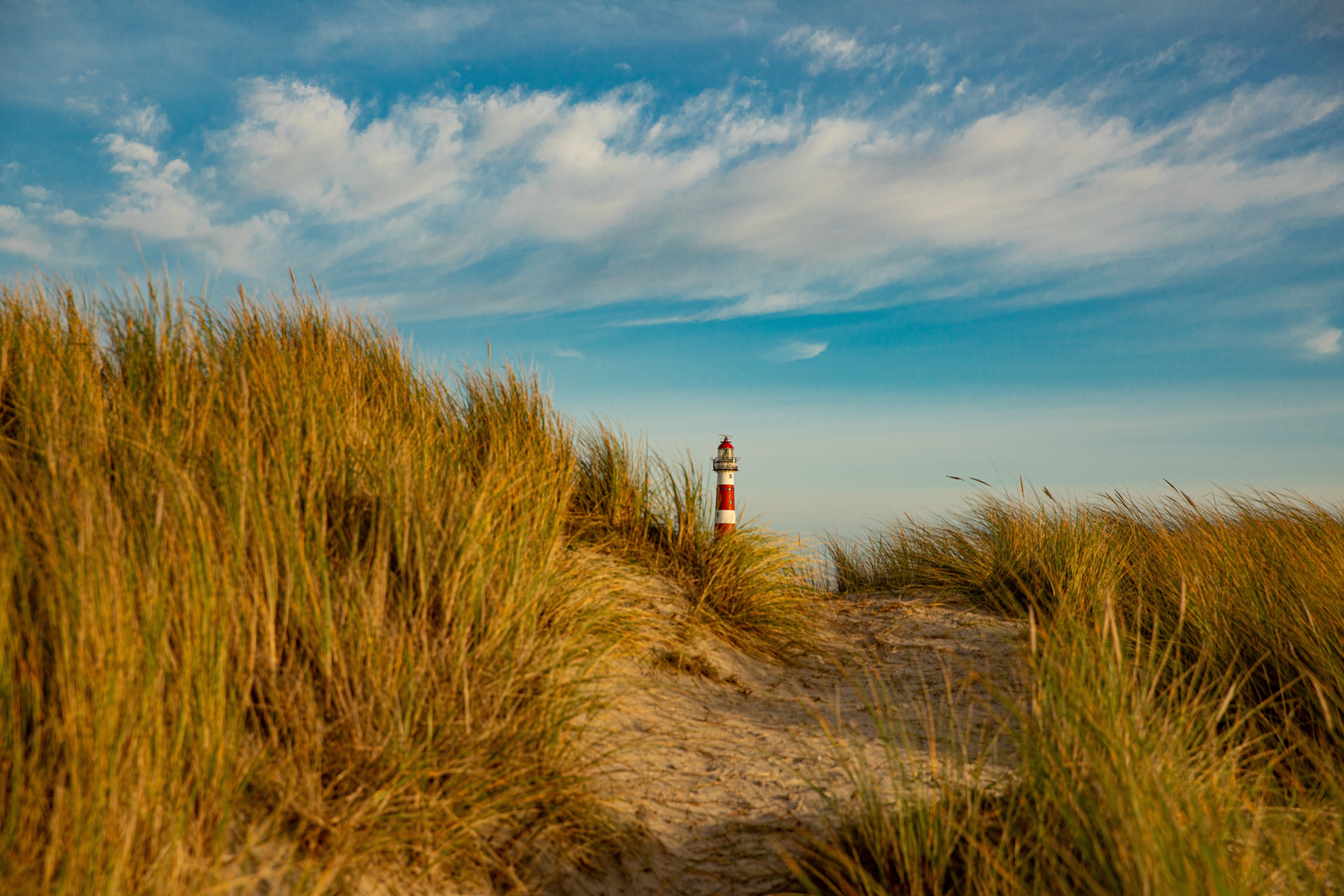
A standout natural landmark on the eastern side is Het Oerd, a rugged dune-and-sand wilderness, and the Oerdsblinkert—often described as the island’s highest dune. It’s one of the most “raw” feeling parts of Ameland, with big skies, wind-shaped dunes, and excellent birdlife, especially when high water pushes birds to higher refuge areas.

Surfaces
Unknown
Sand
Grass
Asphalt
Concrete
Dirt
Ground
Gravel
Unpaved
Paved
Cobblestone
Wood
Comments and Reviews
User comments, reviews and discussions about the WaddenWandelen - Ameland and Strandroute Loop, Netherlands.
average rating out of 5
0 rating(s)