Download
3D Flyover
Add to list
More
22.9 km
~4 hrs 34 min
0 m
Point-to-Point
“From Montfort’s castle shadows to Swalmen’s streams, a level wander of lanes, sand, and mud.”
This is a long, almost perfectly flat point‑to‑point walk through the Roerstreek in Midden‑Limburg, linking the small castle town of Montfort with Swalmen via a mix of quiet lanes, sandy forest tracks, and streamside paths. At ~23 km / ~14.3 mi with ~0 m / ~0 ft of climbing, the effort is mostly about time-on-feet and underfoot conditions rather than hills. Expect a relaxed pace to take 5–6.5 hours depending on stops and how muddy the forest sections are.
Getting to the start (Montfort) and back from Swalmen
By public transport - The most practical rail hub is Roermond. From there, local buses connect toward Montfort and nearby villages (bus routes and timetables change seasonally—check the current plan before you go). - For the finish, Swalmen has its own train station with regular connections on the Maastricht–Venlo line, making it straightforward to return via Roermond. (en.wikipedia.org)
By car - A reliable “known landmark” start area in Montfort is around Kasteel Montfort (Huysdijk 4 / near Huysdijk 10), 6065 AX Montfort—a common navigation anchor with nearby parking options depending on events. (limburgsekastelen.nl) - For a car shuttle, leave one vehicle near Swalmen Station (signed locally) and drive to Montfort to start.
Navigation Use HiiKER for the exact line of travel and to confirm any short diversions around forestry work, wet sections, or temporary closures—this area’s path network can change after storms and high water.
What the route feels like, section by section
0–4 km / 0–2.5 mi: Montfort’s edges and the Vlootbeek landscape You’ll typically begin on the outskirts of Montfort, quickly leaving village streets for field margins and small access roads. The landscape here is classic Midden‑Limburg: low, open farmland stitched together with drainage ditches and small tree lines, with the Vlootbeek system influencing the wetter ground nearby. In damp periods, the first “easy” surprise is how slick grassy edges can get—water sits on the clayey top layer and turns short connectors into boot-sucking strips.
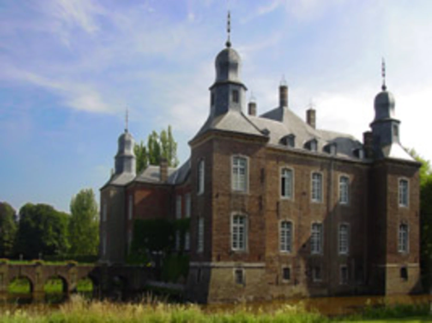
If you have time before you fully commit to the day, Montfort’s big historical anchor is Kasteel Montfort, a 13th‑century fortress site that later evolved and was fortified further in subsequent centuries. Even if you only glimpse it at the start, it sets the tone: this is a borderland region shaped by waterways, trade routes, and defensive architecture. (limburgsekastelen.nl)
4–12 km / 2.5–7.5 mi: Hazenpad and the transition into forest The Hazenpad portion is where the walk becomes more “trail-like.” Expect a mix of: - compacted dirt and sandy track, - short grassy connectors, - occasional narrow singletrack where vegetation leans in during the growing season.
Because the elevation is negligible, drainage is the main variable. After rain, the lowest lines hold water and you may find yourself choosing between shallow puddles or the slightly higher, softer verge. Waterproof footwear isn’t mandatory in a dry spell, but it’s a big comfort upgrade in shoulder seasons.
Wildlife is subtle but present: you’re moving through a mosaic of woodland edge, small wet zones, and quiet agricultural margins—good habitat for songbirds and small mammals. Dawn and dusk are the best times for sightings, but even midday you’ll often hear more than you see.
Het Sweeltje: forest reserve character and what to watch for
12–17 km / 7.5–10.5 mi: Het Sweeltje and the Vlootbeek corridor Het Sweeltje is a named nature area between Montfort and the border region, associated with the Vlootbeek and a broader block of woodland that links with other forests in the area.

Surfaces
Unknown
Sand
Unpaved
Dirt
Asphalt
Ground
Concrete
Grass
Paved
Comments and Reviews
User comments, reviews and discussions about the Montfort to Swalmen via Hazenpad, Het Sweeltje and Vlinkenbroek, Netherlands.
average rating out of 5
0 rating(s)