Download
3D Flyover
Add to list
More
6.1 km
~1 hrs 12 min
0 m
Loop
“Share the trailhead details, and this gentle forest loop can bloom into a vivid, grounded guide.”
I’m missing one key piece of information needed to make this accurate: the start location (“Hike head: near …”) and any coordinates/GPX you have. Without that, I can’t convert lon/lat to a real-world landmark/address, give correct public-transport options, or describe the right loop direction and landmarks for this specific “Schadijke Bossen and Sint Martinsberg Loop” (there are similarly named places in different regions).
Send either: - the start coordinates (lon/lat), or - a HiiKER link, or - the nearest town/village + country, plus where you plan to park (if driving).
If you paste coordinates, please format like:
- lat, lon: 51.12345, 5.67890
Once I have that, I’ll write the full 6 km / ~3.7 mi easy, mostly flat loop description with: - turn-by-turn style guidance using HiiKER for navigation references, - approximate distance markers (km + miles), - what to expect underfoot (tracks, boardwalks, sand, mud), - notable forest features, viewpoints, and any cultural/historical context, - seasonal wildlife/plant highlights and what to watch out for (ticks, wet sections, hunting days, etc.), - and practical logistics for arriving by car and public transport to the nearest recognizable start landmark/address.

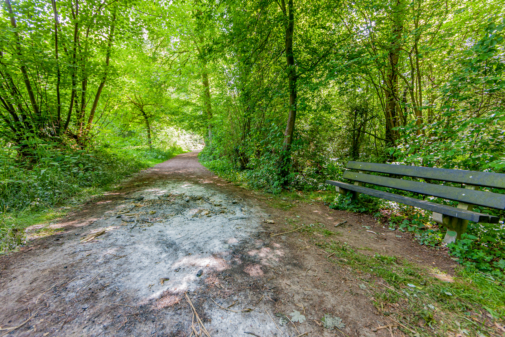
Surfaces
Sand
Unpaved
Dirt
Gravel
Grass
Unknown
Comments and Reviews
User comments, reviews and discussions about the Schadijke Bossen and Sint Martinsberg Loop, Netherlands.
average rating out of 5
0 rating(s)