Download
3D Flyover
Add to list
More
33.3 km
~6 hrs 49 min
103 m
Multi-Day
“Winding through vibrant forests, rolling hills, and ancient landmarks, this loop enchants with Overijssel’s timeless beauty.”
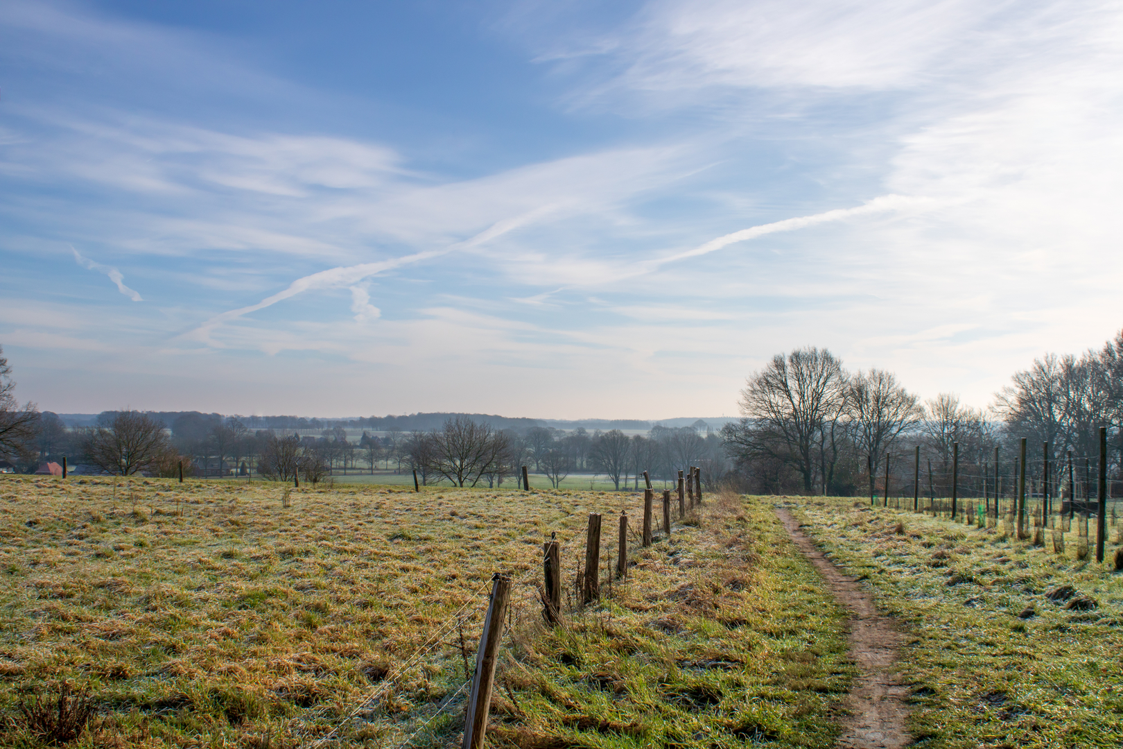
The Beusbergen, Kattenberg, and Herikerberg Loop is a scenic 33-kilometer (20.5-mile) trail with an elevation gain of approximately 100 meters (328 feet), offering an easy yet immersive hiking experience through the diverse landscapes of the Overijssel province in the Netherlands.
Getting to the Trailhead
The trailhead is conveniently located near the town of Markelo. For those traveling by car, Markelo is accessible via the A1 motorway, taking the exit toward Rijssen-Holten and following signs to Markelo. Parking is available in the town center. If using public transport, take a train to the nearest major station, such as Deventer or Hengelo, and then a bus to Markelo. Bus services connect these stations to Markelo regularly; check local schedules for the most current information.
Trail Overview
Starting from Markelo, the loop trail meanders through a variety of terrains, including dense forests, open heathlands, and gentle hills. The minimal elevation gain makes it suitable for hikers of all skill levels.
Key Landmarks and Natural Features
Beusbergen: This area is characterized by its lush woodlands and serene atmosphere. Hikers can enjoy the tranquility of the forest, with opportunities to spot local wildlife such as deer and various bird species.
Kattenberg: As you ascend Kattenberg, you'll be greeted with panoramic views of the surrounding countryside. The hill is adorned with a mix of deciduous and coniferous trees, providing a vibrant display of colors, especially during autumn.
Herikerberg: This hill is notable for its historical significance and natural beauty. The area features ancient burial mounds, indicating human activity dating back to prehistoric times. The summit offers expansive views and is a perfect spot for a rest break.
Flora and Fauna
Throughout the hike, you'll encounter a rich diversity of plant and animal life. The forests are home to oak, beech, and pine trees, while the heathlands bloom with heather and wildflowers in late summer. Birdwatchers can look out for species like the European robin, blackbird, and various woodpeckers.
Historical Significance
The region is steeped in history, with evidence of human settlement dating back thousands of years. The ancient burial mounds on Herikerberg are a testament to the area's long-standing cultural heritage. Additionally, the trail passes through areas that were historically used for agriculture and forestry, reflecting the traditional land use practices of the region.
Navigation and Planning
To ensure a smooth hiking experience, it's advisable to use a reliable navigation tool. HiiKER offers detailed maps and trail information for this route, helping you stay on track and informed about points of interest along the way.
Preparation Tips
Footwear: Given the varied terrain, sturdy hiking boots are recommended.
Weather: Check the local weather forecast before setting out, as conditions can change rapidly.
Supplies: Carry sufficient water and snacks, as amenities along the trail are limited.
Respect Nature: Stick to marked paths to protect the local flora and fauna, and ensure you leave no trace of your visit.
Embarking on the Beusbergen, Kattenberg, and Herikerberg Loop provides a delightful journey through the natural and historical landscapes of Overijssel, offering both relaxation and insight into the region's rich heritage.

Surfaces
Ground
Unknown
Asphalt
Sand
Unpaved
Gravel
Wood
Grass
Paved
Comments and Reviews
User comments, reviews and discussions about the Beusbergen, Katten berg and Herikerberg Loop, Netherlands.
average rating out of 5
0 rating(s)