Download
3D Flyover
Add to list
More
14.0 km
~3 hrs 1 min
135 m
Loop
“From windy chalk plateau to hushed Cannerberg woods and Lichtenberg’s ruins, a varied loop.”
This easy loop links three very different landscapes on the southern edge of Maastricht: the open, chalky plateau of Sint Pietersberg, the wooded folds around Cannerberg, and the ruins of Kasteel Lichtenberg. Expect a mix of wide gravel tracks, compact dirt paths, short paved connectors, and a few stair/steeper ramp sections where the trail drops off the plateau into the woods. At around 14 km (8.7 mi) with roughly 100 m (330 ft) of ascent, it’s more about steady walking and scenery than physical challenge—though the exposed hilltop can feel surprisingly windy.
Getting to the start (public transport + car)
Because “near” wasn’t fully specified, the most practical start for this loop is by the Sint Pieter / Sint Pietersberg area on the south side of Maastricht, close to the main access points for the hill.
- By public transport: From Maastricht Centraal station, local buses regularly run toward Sint Pieter (the neighborhood at the foot of Sint Pietersberg). A common, convenient jump-off point is near Maastricht, Sint Pieter (area around the Sint Pieter church / village center), from which you can walk a few minutes to the hill paths. Use HiiKER to pin the exact trailhead once you choose your preferred bus stop in Sint Pieter.
- By car: Aim for parking near the main Sint Pietersberg access points on the Maastricht side—look for lots associated with Sint Pietersberg / ENCI area (popular for walkers and cyclists). Arrive earlier on weekends; this is a heavily visited recreation zone.
If you share the route’s lon/lat points (trailhead and any key waypoints), I can convert them to the nearest specific landmark/address precisely.
You’ll typically begin on gentle approach paths that climb gradually onto the Sint Pietersberg plateau. The grade is mild, but the surface can be loose in places—chalk and fine gravel can behave like ball bearings underfoot when it’s dry, and it can turn slick after rain. Within the first 2–3 km (1.2–1.9 mi) you’ll likely gain most of the day’s elevation in small increments rather than one big climb.
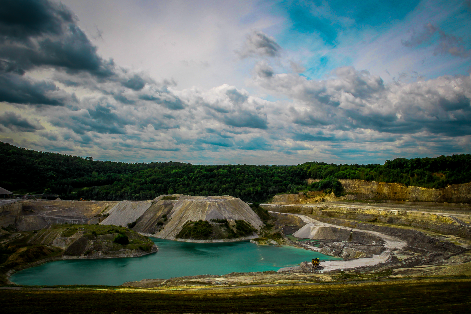
Once you’re up on the higher ground, the landscape opens: expect big skies, long views, and a “rolled” feel to the terrain rather than sharp peaks. This region is famous for its chalk and limestone geology, which shapes everything from the pale soils to the dry grassland plant communities. In spring and summer, the plateau edges and sunny banks can be rich in wildflowers; in warmer months, it’s also prime territory for butterflies and other pollinators. Keep an eye out for birds of prey riding the thermals—open slopes and cliffy edges make good hunting grounds.
Kasteel Lichtenberg and the plateau edges
Around the midsection of the loop, you’ll reach Kasteel Lichtenberg, a romantic ruin set in a commanding position. Even as a ruin, it’s a standout landmark because it ties the walk to the region’s long strategic history: this borderland has been contested and fortified for centuries, and high points like this were valuable for observation and control of movement through the Maas (Meuse) corridor.
The paths here often run near slopes and drop-offs. They’re not technical, but they can be muddy and rutted in wet weather, and the chalky substrate can crumble at the edges. Give cyclists space—this area is popular with mountain bikers, and some tracks are shared.
From the castle area, the loop typically transitions toward more wooded terrain as you angle toward Cannerberg. Over the next 3–5 km (1.9–3.1 mi), you’ll notice the microclimate change: less wind, more shade, and a softer underfoot feel as leaf litter replaces chalky grit. This is where you’ll most likely encounter deer (often at dawn/dusk) and a wider variety of woodland birds. Ticks can be present in tall grass and brushy edges in the warmer months—long socks and a quick post-hike check are sensible.
Cannerberg: woodland folds and wartime echoes
Cannerberg is known for its wooded slopes and the way the land “tucks in” compared with the open plateau. The walking stays easy, but there may be a few short, steeper pitches where the trail drops into a hollow and climbs back out—nothing long enough to change the overall difficulty, but enough to notice.
This area also carries 20th-century historical significance. The broader Maastricht/Sint Pietersberg/Cannerberg zone includes extensive underground spaces and sites connected to wartime use and later military activity. Even if your loop stays entirely above ground, you may pass entrances, fenced-off areas, or signage that hints at what lies beneath. Respect closures and barriers—some zones are protected for safety, conservation, or heritage reasons.
As you arc back toward Sint Pietersberg, the loop usually alternates between forest track and open connectors. The final 3–4 km (1.9–2.5 mi) tend to feel quick and relaxed, with only small rises—your remaining ascent is typically spread out in gentle rollers.
What to watch and pack for - Footwear: Light hiking shoes are fine, but choose something with decent grip for chalky dust (dry) or slick mud (wet). - Wind exposure: The plateau can be breezy and cooler than Maastricht below; a light shell is useful even on mild days. - Shared-use awareness: Expect cyclists on wider tracks; keep right on blind corners. - Navigation: Cell coverage is generally good near Maastricht, but use **Hii

Surfaces
Unknown
Asphalt
Cobblestone
Gravel
Unpaved
Concrete
Dirt
Paved
Ground
Comments and Reviews
User comments, reviews and discussions about the Kasteel Lichtenberg, Sint Pietersberg and Cannerberg Loop, Netherlands.
average rating out of 5
0 rating(s)