Download
3D Flyover
Add to list
More
48.8 km
~2 days
0 m
Multi-Day
“A wind-swept, ruler-flat polder loop of cows, canals, and wide skies—best for steady walkers.”
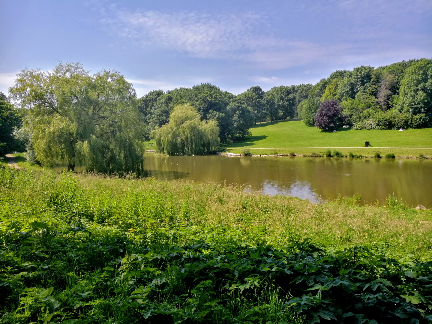
This is a long, ruler-flat polder loop through the green heart of Midden-Delfland in South Holland—an area of dairy meadows, drainage canals, dikes, and wide skies wedged between major cities. At roughly 49 km / 30.5 mi with about 0 m / 0 ft of climbing, the challenge isn’t elevation—it’s time on feet, wind exposure, and staying comfortable on hard, level surfaces.
Where the hike starts (nearest landmark / address)
With the information given, the most practical “hike head” for this loop is in/near Maasland (postcode area 3155), close to Maassluiseweg—a well-known road on the edge of the village. (waze.com)
If you’re using HiiKER, look for a start point near Maassluiseweg, 3155 Maasland, Zuid-Holland, Netherlands (village edge is ideal for parking and an easy warm-up through quiet lanes). (waze.com)
Getting there (car + public transport)
By car - Aim for Maasland (3155) and navigate to Maassluiseweg; you’ll typically find roadside parking pockets or small village-edge parking areas. Arrive early if you want stress-free parking, especially on weekends with cyclists. (waze.com)
By public transport - The region is served by buses connecting nearby towns and villages (Maasland / Schipluiden / Den Hoorn area). A common approach is to travel by train to a larger hub (e.g., Delft/Rotterdam area) and transfer to a bus toward Maasland or Schipluiden, then walk a short distance to the loop. (Exact lines change; check current routing and stop locations in your transit app before you go.)
What the terrain feels like over 49 km / 30.5 mi
Expect a mix of: - Dike-top paths and canal-side tracks (often paved or compacted) - Farm access lanes and quiet rural roads - Long, straight sightlines where you can see weather moving in from far away
Because the landscape is engineered to be flat and drained, your “effort spikes” come from: - Headwinds (can be relentless across open fields) - Hard surfaces (feet and hips feel it late in the day) - Distance management (49 km is an ultra-walk for most hikers)
Plan on 8–11 hours moving time depending on pace and breaks.
Route character and notable places you’ll pass
This loop’s name points to three key segments—Maasluiseweg, Sint Maartensrechtpad, and Gaagpad—which stitch together classic Midden-Delfland scenery: polders, canals, and historic village edges.
Maasland countryside: dairy polders and old water management
Maasland sits in a rural pocket surrounded by dense urban areas, which makes the contrast striking: within minutes you’re among meadows, cows, and drainage ditches rather than city streets. (en.wikipedia.org)
Historically, this area has been shaped by settlement, flooding, and dike rebuilding for centuries—water control is the reason the land is walkable at all. Maasland’s history includes medieval development and repeated flood impacts that influenced where people lived and how the landscape was defended. (en.wikipedia.org)
Along canals and dikes: the Vlaardingervaart connection
A major “feel” of this loop is walking beside waterways that were not only for drainage but also for transport. The Vlaardingervaart is an old canal in Midden-Delfland, historically tied to inland shipping routes and later tow-boat traffic; today it’s navigable for leisure craft. (en.wikipedia.org)
When you’re on these canal edges, watch for:
- Narrow path shoulders dropping into water
- Slippery edges after rain
- Fast cyclists on shared dike routes
Schipluiden and the Sint Maartensrecht connection (regional history)
Schipluiden is the administrative seat of Midden-Delfland and has deep ties to medieval landholding and religious history in the region. (en.wikipedia.org)
A key historical note: Sint Maartensregt (Sint Maartensrecht) was merged into Schipluiden

Surfaces
Asphalt
Unknown
Wood
Comments and Reviews
User comments, reviews and discussions about the Maasluiseweg, Sint Maartensrechtpad and Gaagpad Loop, Netherlands.
average rating out of 5
0 rating(s)