Download
3D Flyover
Add to list
More
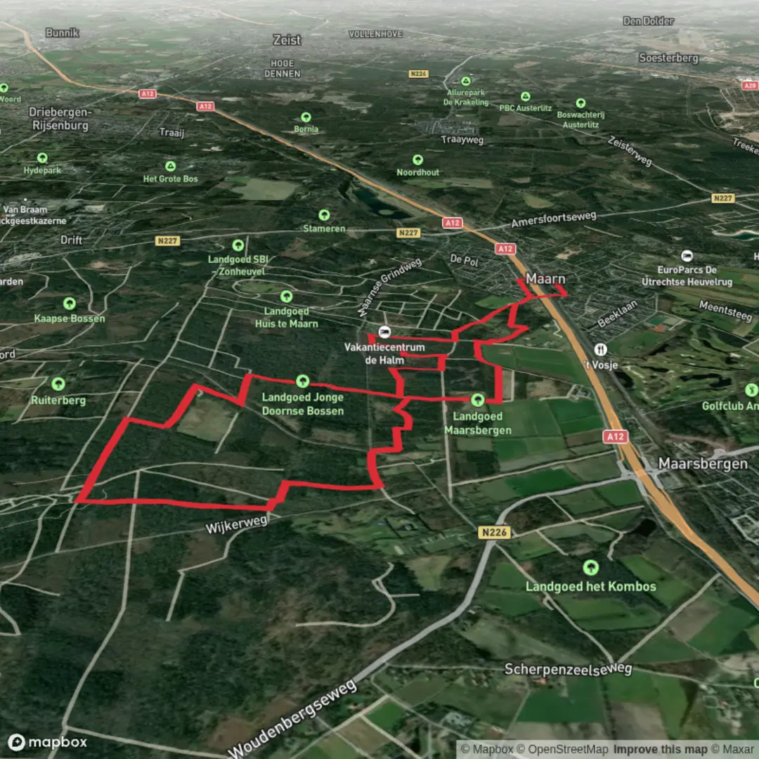
10.6 km
~2 hrs 10 min
31 m
Loop
“Follow long, straight tracks beneath vast wetland skies—easy-going, if wind and mud cooperate.”
An easy, mostly level loop of about 11 km (6.8 mi) with roughly 0 m (0 ft) of climbing, this walk is all about wide-open wetland scenery, big skies, and long, straight paths where you can settle into a steady pace. Expect a mix of compacted gravel, farm tracks, and occasional softer, damp sections depending on recent rain—good walking shoes are usually enough, but after wet weather the edges of the path can be muddy.
Getting to the start (car + public transport)
Because the hike head is listed only as “near” (with no coordinates or place name), I can’t reliably convert a lon/lat to a nearby address or landmark yet. If you share the start point (a pin, coordinates, or even the nearest town), I’ll translate it to the closest well-known landmark/address and tailor the directions precisely.
In the meantime, here’s the practical approach most hikers use for “De Venen” loops in the Low Countries (where “venen” commonly refers to peat/wetland areas): - By car: aim for the nearest signed nature reserve entrance/parking area (often marked as a P with a reserve name). Arrive early on weekends—wetland reserves can be popular for birdwatching, and parking fills quickly. - By public transport: take rail/bus to the nearest larger town, then a local bus toward the reserve edge. The final 1–3 km (0.6–1.9 mi) is often a walk or short taxi/bike ride to the trailhead, depending on the local bus network.
If you’re planning navigation, load the loop in HiiKER before you go and download it for offline use—wetland areas can have long, similar-looking straightaways where it’s easy to miss a subtle turn.
What the route is like (surface, pacing, and “easy” reality) Although the difficulty is “Easy,” wetlands can add a few quirks: - Very low elevation change means no steep climbs, but also little natural drainage—after rain, puddles can linger. - Wind exposure is often the biggest “effort” factor. With open reedbeds and fields, a headwind can make the second half feel longer than the distance suggests. - Long sightlines can be deceptively tiring mentally; it helps to break the loop into chunks (for example: first 3 km / 1.9 mi to settle in, middle 5 km / 3.1 mi through the broadest wetland views, final 3 km / 1.9 mi back along drier tracks).
Plan on 2.5–3.5 hours at a relaxed pace with stops for wildlife viewing and photos.
Landmarks, landscape, and what to look for
“Venen” landscapes are typically shaped by water management and historic peatlands. Even when the trail feels rural and quiet, the scenery often reflects centuries of human interaction with wetlands: - Drainage ditches and straight canals: these are common in reclaimed or managed wetland areas. They’re also excellent wildlife corridors—scan the edges for movement. - Reedbeds and wet meadows: look for layered textures—short grass near paths, taller sedges and reeds closer to standing water. - Small footbridges, culverts, and sluices: these are often the most “interesting” micro-landmarks on a flat route and can be useful reference points for staying oriented.
If the loop passes any raised boardwalk sections, treat them as “slow zones”—they can be slick with algae, especially in cool, damp months.
Nature and wildlife (seasonal expectations) Wetland loops are prime territory for birds and amphibians, and the experience changes dramatically by season: - Spring: peak birdsong and nesting activity. You may see (or hear) reed-dwelling species; keep voices low near dense reeds. - Summer: more insects—bring repellent. Dragonflies are often abundant along still water. - Autumn: migrating birds and big skies; paths can be wetter as rainfall increases. - Winter: stark, beautiful openness; fewer insects, but more wind chill and potentially icy patches on shaded bridges.
General wildlife etiquette matters more here than in many upland hikes: - Stay on the main track where possible—wetland margins can be fragile and can hide deep mud. - If there are grazing animals (common in managed wet meadows), give them space and pass calmly.
Hazards and practical prep Even on an easy, flat 11 km (6.8 mi) loop, a few things are worth planning for: - Mud and standing water: after rain, expect soft verges. Waterproof shoes help; gaiters are optional but useful in wetter months. - Limited shade: sun and wind exposure can be constant. Bring water and a light windproof layer even on mild days. - Ticks: wet meadows and grassy edges can carry ticks in warmer months—long socks and a quick check afterward are smart. - Navigation sameness: straight tracks and repeating ditch-lines can look identical. Keep HiiKER handy at junctions and where farm tracks intersect.
Historical context of “venen” regions Many “venen” areas in northwestern Europe are historically tied to peat formation and peat cutting, followed by drainage and land reclamation. Over time, this created a patchwork of: - managed water levels (ditches, sluices, pumping), - long, straight boundaries and tracks, - and conservation zones where wetlands are being protected or restored for biodiversity and flood buffering.
If your loop passes interpretive signs, they often explain how peatlands formed, how extraction altered the landscape, and how

Surfaces
Unknown
Unpaved
Asphalt
Sand
Ground
Grass
Gravel
Comments and Reviews
User comments, reviews and discussions about the De Venen Loop, Netherlands.
average rating out of 5
0 rating(s)