Download
3D Flyover
Add to list
More
5.7 km
~1 hrs 8 min
8 m
Loop
“Wander through shimmering sands and peaceful woods, where ancient history and wildlife whisper beneath the pines.”
Starting from the outskirts of Soest, near the well-known Soestduinen train station, this loop trail covers approximately 6 km (about 3.7 miles) with virtually no elevation gain, making it accessible for hikers of all abilities. The trailhead is easily reached by taking a train to Soestduinen station, which is well-connected to Utrecht and Amersfoort, or by car, with parking available near the station and along the adjacent Soesterbergsestraat.
Navigating the Route
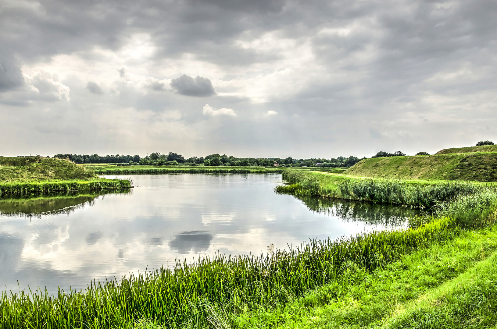
The loop is well-marked, but for added confidence and real-time navigation, HiiKER provides a reliable digital map of the route. The path meanders through a unique landscape of inland dunes—known locally as binnenduinen—and the tranquil Kelderbosch woodland. Expect sandy tracks interspersed with stretches of pine and deciduous forest, offering a gentle, shaded walk for most of the route.
Landmarks and Natural Features
Within the first kilometer, the trail leads you into the heart of the Soesterduinen, a rare inland dune area formed during the last Ice Age. These shifting sands are a highlight, with open vistas and scattered Scots pines creating a striking contrast to the surrounding woodland. The area is a favorite for local wildlife; keep an eye out for woodpeckers, nuthatches, and the occasional roe deer, especially in the quieter morning hours.
At around the halfway mark, the path transitions into the Kelderbosch, a serene forested section where the sandy soil gives way to a carpet of moss and ferns. This part of the loop is particularly peaceful, with the dense canopy providing cool shade and the chance to spot squirrels and a variety of songbirds.
Historical and Cultural Context
The Soesterduinen have been a popular recreation area for over a century, and the surrounding region has a rich history dating back to prehistoric times. Archaeological finds in the area include burial mounds and ancient tools, evidence of early human settlement. The nearby village of Soest is home to several historic buildings, including the 15th-century Oude Kerk, which can be visited before or after your hike.
Trail Conditions and Preparation
The entire loop is flat, with a total elevation gain of less than 5 metres (16 feet), making it suitable for families, casual walkers, and those seeking a relaxed outing. The sandy sections can be challenging for strollers or wheelchairs, but most of the forest paths are firm and well-maintained. There are no facilities directly on the trail, so bring water and snacks. Benches are scattered along the route, offering pleasant spots for a break.
Getting There and Practical Tips
Arriving by train is the most convenient option, as Soestduinen station is just a short walk from the trailhead. For those driving, use Soesterbergsestraat as your navigation point, with ample parking available near the station. The area is popular on weekends, so consider starting early to enjoy the tranquility and wildlife.
For navigation and up-to-date trail information, HiiKER is recommended to ensure you stay on track and make the most of your hike through this unique Dutch landscape.

Surfaces
Sand
Unpaved
Dirt
Unknown
Asphalt
Comments and Reviews
User comments, reviews and discussions about the Binnenduinen and Kelderbosch Loop, Netherlands.
average rating out of 5
0 rating(s)