Download
3D Flyover
Add to list
More
2.7 km
~32 min
0 m
Loop
“Under wide northern skies, wander past grazing cattle and tidal echoes on this serene coastal loop.”
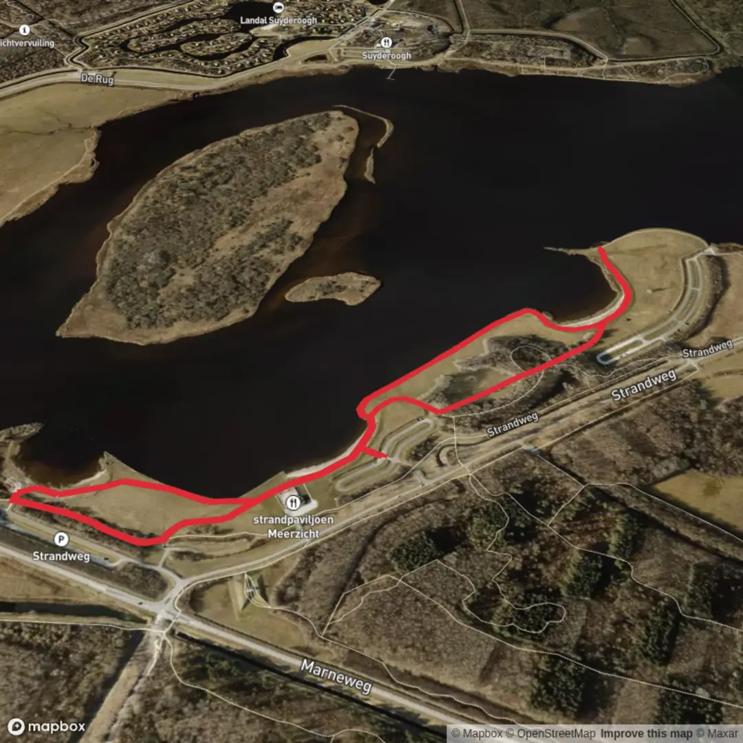
Starting from the edge of Lauwersoog, a small harbor village in the north of the Netherlands, this gentle 3 km (about 1.9 miles) loop hike offers a flat, easy stroll with virtually no elevation gain, making it accessible for all skill levels. The trailhead is conveniently located near the Lauwersoog Haven, a recognizable spot adjacent to the ferry terminal and the bustling marina, which serves as a gateway to the Wadden Sea and Schiermonnikoog Island.
Getting There
Lauwersoog is well-connected by public transport. Buses run regularly from Groningen and Leeuwarden, stopping at Lauwersoog Haven, just steps from the trail’s start. For those arriving by car, parking is available at the marina and ferry terminal, with clear signage leading to the walking paths.
Nature and Wildlife
The loop traverses the edge of Lauwersmeer National Park, a landscape shaped by the sea and reclaimed land. Expect wide-open skies, reed beds, and brackish water channels. Birdlife is abundant—look for spoonbills, avocets, and marsh harriers, especially in spring and autumn when migratory flocks pass through. Highland cattle and Konik horses graze the grasslands, helping to maintain the open character of the area.
Significant Landmarks and Points of Interest
At roughly 1 km (0.6 miles) into the loop, you’ll skirt the Nieuwe Robbengat, a former tidal channel now part of the freshwater Lauwersmeer. The path offers panoramic views across the water, with birdwatching hides positioned for unobtrusive wildlife observation. The trail also passes close to the dike that once separated the Wadden Sea from the new lake, a reminder of the region’s ongoing battle with the sea.
Historical Context
This landscape was dramatically altered in 1969 when the Lauwerszee was closed off from the Wadden Sea, transforming saltwater marshes into freshwater wetlands. The creation of Lauwersmeer National Park preserved the area’s unique ecology and opened it to recreation. The dikes and sluices you’ll see along the route are part of the Netherlands’ renowned water management system, a testament to centuries of engineering and adaptation.
Trail Navigation and Preparation
The loop is well-marked, with clear signage at junctions and interpretive panels explaining the area’s natural and cultural history. Surfaces are mostly gravel and grass, suitable for walking shoes or lightweight boots. The route is exposed, so bring windproof clothing, especially outside summer months. For navigation, download the route to your phone using HiiKER, which provides up-to-date trail maps and waypoints.
Facilities and Amenities
Restrooms and refreshments are available at the marina and ferry terminal. Benches along the route offer spots to rest and take in the views. Dogs are welcome but must be kept on a leash due to grazing livestock and sensitive wildlife areas.
This short, scenic loop is ideal for a relaxed outing, offering a taste of the Dutch coastal landscape, rich birdlife, and a glimpse into the country’s ongoing relationship with water.

Surfaces
Unknown
Asphalt
Sand
Comments and Reviews
User comments, reviews and discussions about the Nieuwe Robbengat and Nederlands Kustpad Loop, Netherlands.
average rating out of 5
0 rating(s)