Download
3D Flyover
Add to list
More
25.7 km
~5 hrs 15 min
65 m
Point-to-Point
“Wander Twente’s gentle loop through hamlets, heath, and whispering woods—sand, birdsong, and big skies.”
This is a long, low-relief countryside loop of about 26 km (16.2 mi) with roughly 100 m (330 ft) of total climbing—mostly gentle rises rather than sustained hills—linking quiet hamlets, heathland, and working rural landscapes in the Twente region of Overijssel (eastern Netherlands). Expect a mix of farm tracks, sandy paths, heath and woodland trails, and short paved connectors between settlements. Underfoot conditions can change quickly: firm gravel and brick farm lanes near villages, then softer sand on heath edges and forest singletrack, with occasional muddy patches after rain.
Getting to the start (Langeveen area)
Because “near” is incomplete, the most reliable way to anchor the start is to treat it as Langeveen (Overijssel) itself—typically approached via the village core around Langeveen / Bruinehaar and the local road network between Tubbergen and Vriezenveen. If you share the exact coordinates (lon/lat) for the trailhead, I can convert them to the nearest recognizable address/landmark precisely.
- By car: Aim for Langeveen village and park near public facilities (church/sports fields/community areas) where permitted, then walk to the signed paths. Rural parking is common but can be limited on narrow lanes—avoid blocking farm access and field gates.
- By public transport: The nearest larger rail/bus nodes are typically Almelo and Vriezenveen, with onward buses/taxis toward the Tubbergen–Langeveen area. In this region, the last few kilometers can be the limiting factor, so plan for a short road walk or a bike link from the final bus stop. Check current timetables close to departure.
What the route feels like (terrain, surfaces, pacing)
At Easy difficulty, the challenge is less about steepness and more about distance management and surface variety. A comfortable pace for most hikers is 5–6 hours of moving time for 26 km (16.2 mi), plus breaks. The ~100 m (330 ft) of gain is spread out in small undulations—often so subtle you’ll notice it more in your legs over time than on any single climb.
Bring footwear that handles sand and occasional wet ground. Trail runners work well in dry spells; light hiking shoes are better if it’s been raining or if you prefer more support over a long day.
Langeveen to Manderheide (open country into heath and woodland)
The early kilometers typically thread through Twente’s patchwork farmland: hedgerows, drainage ditches, and long straight farm lanes with wide skies. You’ll likely pass small wooded copses and field margins that can be lively with birds—listen for skylarks and meadow birds in open areas, and watch for hares crossing tracks at dawn or dusk.
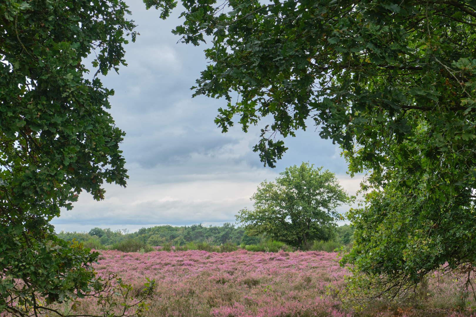
As you approach Manderheide, the landscape shifts toward heathland and sandy soils. Heath areas in this part of Overijssel are valued remnants of older, nutrient-poor landscapes shaped by centuries of grazing and sod-cutting. In late summer, heather can color the ground in purples and pinks; outside that season, it’s still a distinctive mosaic of low shrubs, grasses, and scattered pines/birches.
Navigation note: heath and forest edges can have multiple parallel paths. If visibility is low (fog) or you’re moving fast, keep HiiKER handy to confirm you’re on the intended line when trails braid and rejoin.
Manderheide to “Gaswinning Paarden” (industrial traces in a natural setting)
This middle section is where you may notice the region’s subsurface industry. “Gaswinning” refers to natural gas extraction, and in parts of Twente you can encounter discreet infrastructure—service tracks, fenced compounds, or well-site clearings—set amid otherwise quiet countryside. These areas are usually well-managed and signed; stay on the public right of way and respect barriers.
The “Paarden” element suggests a connection to horse-related land use (riding routes, paddocks, or local place-naming). In practice, you may share some tracks with riders. Give horses space, pass slowly, and speak calmly so you don’t startle them—especially on narrow sandy paths where sightlines are short.
Wildlife tends to increase around the heath/wood margins: roe deer are common in the Netherlands’ quieter wooded edges, and you may see buzzards circling overhead. Ticks can be present in grassy/heathy zones in warmer months—long socks and a post-hike check are sensible.
Toward Molendijks and back through hamlets (heritage and rural landmarks)
“Molendijks” points to a dike/raised road associated with a mill (“molen” in Dutch). Even when the original mill isn’t prominent on the route, these names often mark older infrastructure: slightly raised lanes, wind-exposed corridors, and historic routes connecting farms and villages. In Twente, settlement patterns and road names often preserve the story of how communities managed water, wind, and transport across sandy soils and low-lying areas.
Expect a return leg that alternates between: - Quiet paved lanes (easy walking, but watch for cyclists and local traffic) - Brick or gravel farm roads - Short wooded connectors that break up the open stretches
Because the elevation gain is modest, fatigue usually shows up late as foot soreness from harder surfaces or calf/ankle tiredness from sand. If you’re sensitive to that, plan a short break before the final third and consider bringing a spare

Surfaces
Asphalt
Unknown
Sand
Dirt
Unpaved
Ground
Concrete
Gravel
Comments and Reviews
User comments, reviews and discussions about the Langeveen to Molendijks via Manderheide and Gaswinning Paarden, Netherlands.
average rating out of 5
0 rating(s)