Download
3D Flyover
Add to list
More
11.9 km
~2 hrs 31 min
83 m
Loop
“Meandering through blossom-filled meadows and historic hilltops, this trail celebrates South Limburg’s timeless countryside charm.”
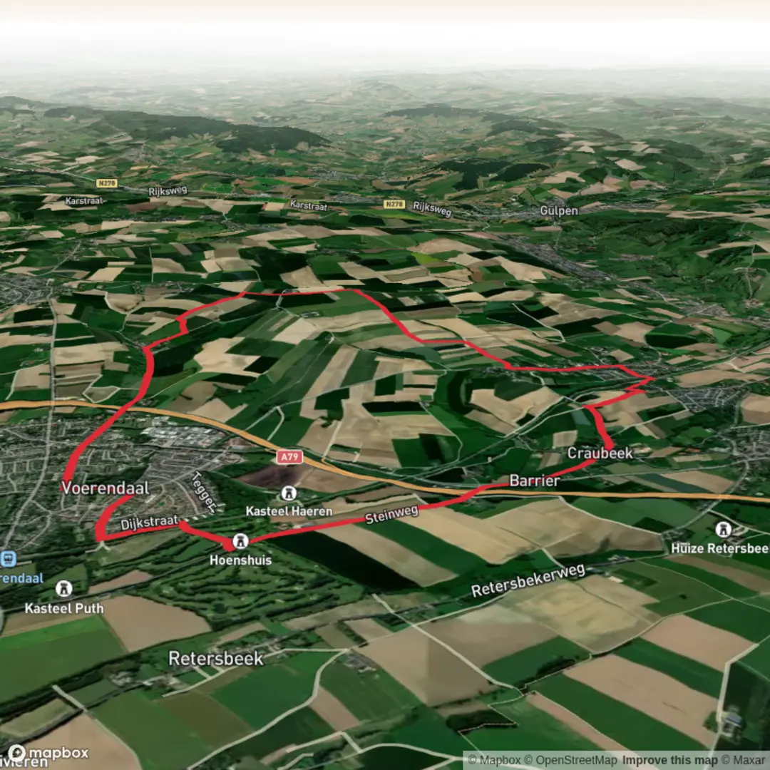
Starting from the outskirts of Voerendaal, a charming village in the South Limburg region of the Netherlands, this loop trail of approximately 12 km (7.5 miles) with a gentle elevation gain of about 100 metres (330 feet) offers a quintessential Dutch countryside experience. The trailhead is conveniently located near Voerendaal railway station, making it easily accessible by train from Maastricht, Heerlen, or Aachen. For those arriving by car, parking is available at or near the station and in the village center.
Getting Oriented and Setting Out
The route quickly leaves the village behind, winding through rolling meadows and pastures typical of Limburg’s undulating landscape. Early on, you’ll notice the open fields dotted with grazing cattle and the occasional orchard, especially in spring and early summer when wildflowers and fruit blossoms are at their peak. The trail is well-marked, but for added confidence, HiiKER provides reliable navigation and up-to-date trail conditions.
Vrouwenheide Plateau and Panoramic Views
About 3 km (1.9 miles) in, the path ascends gently to the Vrouwenheide plateau, one of the highest points in the Netherlands at 216 metres (709 feet) above sea level. Here, sweeping views open up across the Geul valley and towards the German border. On clear days, you can spot the spires of Aachen and the distant Ardennes. The Vrouwenheide windmill, a striking white structure dating back to 1858, stands as a local landmark and is occasionally open to visitors.
Woodlands, Vrakelberg, and Historical Layers
Continuing south, the trail skirts the edge of small woodlands and the Vrakelberg hill. This area is rich in history, with archaeological finds indicating Roman and medieval settlements. The soils here are loess-rich, supporting a variety of wildflowers and butterflies in summer. Listen for songbirds and, if you’re lucky, spot a kestrel hovering above the fields.
At around the halfway point (6 km/3.7 miles), the path passes near the hamlet of Ubachsberg, where you’ll find traditional Limburg farmhouses built from local marlstone. This is a good spot for a rest, with a café or two offering regional specialties like vlaai (fruit tart).
Return via Pastoral Valleys
The return leg descends gently through the valley of the Eyserbeek stream, with its lush meadows and occasional willow groves. The landscape here is shaped by centuries of small-scale farming, and you may see herons or even roe deer at dawn or dusk. The final stretch leads back towards Voerendaal, passing through quiet lanes and past the Romanesque St. Laurentius Church, a national monument dating to the 11th century.
Practical Considerations
The trail is rated easy, with well-maintained paths suitable for most walkers. Sturdy shoes are recommended, especially after rain when sections can be muddy. Water and snacks are advisable, though there are refreshment options in Ubachsberg and Voerendaal. Public transport connections are frequent, and the area is well-served by local buses and trains.
For navigation, trail updates, and offline maps, HiiKER is the recommended tool to ensure a smooth and enjoyable hike.

Surfaces
Asphalt
Unknown
Comments and Reviews
User comments, reviews and discussions about the Voerendaal Vrouwenheide and Vrakelberg Loop, Netherlands.
average rating out of 5
0 rating(s)