Download
3D Flyover
Add to list
More
10.9 km
~2 hrs 12 min
19 m
Loop
“Wander through meadows, whispering woods, and timeless villages where Eifel’s wild beauty and history entwine.”
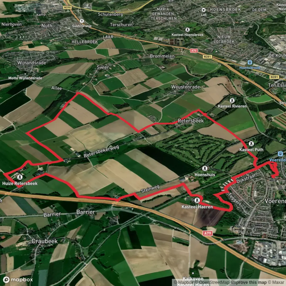
Starting from the outskirts of Bongard, a small village nestled in the Eifel region of western Germany, this loop trail covers approximately 11 km (about 6.8 miles) with virtually no elevation gain, making it an accessible and leisurely walk for most hikers. The trailhead is conveniently located near the center of Bongard, close to the St. Agatha Catholic Church, a recognizable landmark that also offers limited parking for those arriving by car. For public transport users, regional buses connect to nearby towns such as Adenau, from where a short taxi ride or local bus can bring you directly to Bongard.
Route Overview and Navigation
The loop meanders through the rolling countryside typical of the Eifel, passing through open meadows, patches of mixed woodland, and the tranquil hamlet of Retersbeek. Navigation is straightforward, with well-marked paths and signposts at key junctions. For those seeking extra confidence, the route is available on HiiKER, which provides detailed mapping and GPS guidance.
Natural Features and Wildlife
Expect to encounter a landscape shaped by ancient volcanic activity, with fertile soils supporting a rich tapestry of wildflowers in spring and summer. The hedgerows and forest edges are alive with birdlife, including finches, woodpeckers, and the occasional buzzard circling overhead. Deer and foxes are sometimes spotted in the quieter stretches, especially early in the morning or late in the afternoon.
Points of Interest and Historical Context
Shortly after leaving Bongard, the trail skirts the edge of the Retersbeek stream, a gentle watercourse that lends its name to the nearby hamlet. The area is dotted with traditional half-timbered farmhouses, some dating back several centuries, reflecting the agricultural heritage of the region. In Retersbeek itself, look for the small chapel and the old mill, both of which speak to the village’s long history as a rural settlement.
The Eifel region has a deep-rooted history, with evidence of Roman and medieval occupation. While this particular loop does not pass major archaeological sites, the landscape itself is a testament to centuries of human habitation and land use, from ancient field boundaries to the remnants of old orchards.
Trail Conditions and Preparation
With a total elevation gain of less than 10 metres (about 33 feet), the route is rated as easy and is suitable for families, casual walkers, and those looking for a relaxed day out. The paths are mostly gravel or packed earth, with occasional stretches of paved farm track. After rain, some sections can become muddy, so waterproof footwear is recommended. There are no steep climbs or technical sections, and benches are placed at intervals for rest and picnics.
Access and Amenities
Bongard offers limited amenities, so it’s advisable to bring water and snacks. The nearest larger town with shops and restaurants is Adenau, about 10 km (6 miles) to the east. Public toilets are not available on the route, so plan accordingly. The loop is best enjoyed from late spring to early autumn, when the weather is mild and the countryside is at its most vibrant.
For navigation, download the route to your device using HiiKER before setting out, as mobile signal can be patchy in the more remote sections.

Surfaces
Asphalt
Unknown
Gravel
Dirt
Grass
Ground
Wood
Unpaved
Comments and Reviews
User comments, reviews and discussions about the Bongard and Retersbeek Loop, Netherlands.
average rating out of 5
0 rating(s)