Download
3D Flyover
Add to list
More
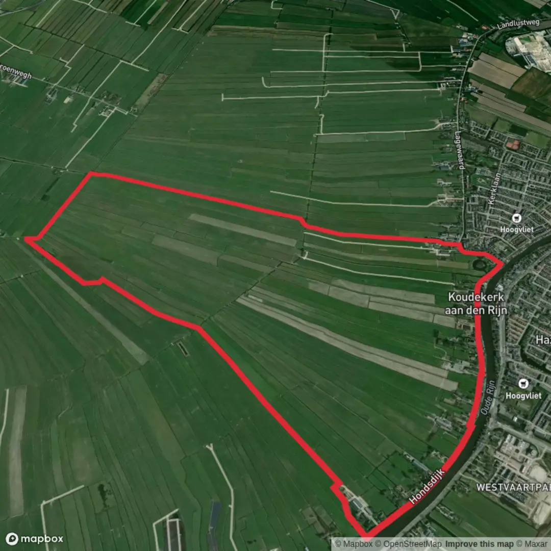
7.9 km
~1 hrs 35 min
0 m
Loop
“A wind-sculpted polder loop of big skies and waterlines, where dikes quietly hold back the sea.”
A flat, wind-shaped loop through open Dutch polderland, this walk is all about big skies, long sightlines, and the engineered landscape that keeps the sea at bay. At roughly 8 km (5.0 mi) with about 0 m (0 ft) of climbing, it’s a steady, easy outing where the main “effort” comes from exposure to wind and weather rather than hills.
Getting to the start (car + public transport)
Because “near” isn’t fully specified, the most reliable way to pinpoint the trailhead is to aim for the Hondsdijkse Polder area on the Zeeland coast and start from a prominent access point on the sea-defence line. A practical, easy-to-find landmark to navigate to is:
- Neeltje Jans / Deltapark Neeltje Jans (Oosterscheldekering), Vrouwenpolder, Zeeland — a major visitor site on/near the Delta Works where you can usually find parking and clear access to dikes and service roads.
By car: Drive toward Deltapark Neeltje Jans (signed from the N57). Park in the main visitor parking areas, then walk out to the dike-top paths/service roads that connect into the surrounding polder network.
By public transport: Zeeland coastal transit can be limited and seasonal. The typical approach is:
- Train to Middelburg (or Goes), then a regional bus toward Vrouwenpolder / Neeltje Jans when available. From the nearest stop, expect a short road-walk to reach the dike access.
Before you go, check same-day schedules and last return times; service frequency can be sparse outside peak season.
If you share the exact coordinates or a HiiKER link, the start can be matched to the nearest precise address/landmark and the access plan tightened up.
What the route feels like underfoot You’ll be walking on a mix of dike-top paths, compacted farm tracks, and quiet paved lanes. Surfaces are generally firm and fast-draining, with little to no mud unless you’ve had prolonged rain or you step off onto grassy verges. Because the terrain is essentially level, pacing is straightforward: most hikers cover 8 km (5.0 mi) in 1.5–2.5 hours, depending on stops for birds and views.
Expect very little shade. On sunny days, the reflected light off water and pale dike stone can feel intense; on windy days, the same openness can make it feel much colder than the temperature suggests.
Route flow and key waypoints (approximate distances)
0.0–1.5 km (0.0–0.9 mi): Dike-top orientation From the access point near the sea defences, you’ll settle into the rhythm of the landscape: straight lines, canals, and the gentle geometry of reclaimed land. The first stretch is ideal for checking your HiiKER map and confirming which side of the canal network you’ll be looping—polders can look deceptively similar, and it’s easy to follow the “right-looking” track that runs parallel to your intended one.
1.5–4.0 km (0.9–2.5 mi): Into the polder grid The middle of the loop typically threads between drainage ditches, reed-fringed channels, and open fields. You’ll notice how the land sits low and flat, with water management everywhere: sluices, culverts, and pumping infrastructure. This is the defining character of the Hondsdijkse Polder area—land made usable by constant, deliberate control of water.
Wildlife viewing is often best here because you’re away from the busiest access points: - Birdlife: look for geese, ducks, coots, herons, and gulls along the ditches; in migration periods you may see larger flocks moving between feeding and roosting areas. - Raptors: kestrels and other birds of prey often hover over field margins hunting small mammals. - Small mammals: rabbits and field mice are common; you’ll usually spot them as quick movement along the verge.
4.0–6.5 km (2.5–4.0 mi): Waterlines, wind, and long views As the loop bends back, you’ll likely rejoin a more exposed line—often a higher dike or a straighter service road. This is where wind can become the main factor. If you’re walking into a headwind, it can feel like the route “gets longer” even though the elevation stays flat.
Keep an eye out for: - Reedbeds and brackish edges (depending on exact alignment): these transition zones can host different bird species than the inland ditches. - Dike engineering details: stone armoring, grassed slopes, and maintenance tracks—small features that show how the coastline is actively protected.
6.5–8.0 km (4.0–5.0 mi): Return along the sea-defence landscape The final stretch tends to feel more “coastal” again, with broader horizons and a stronger sense of the sea nearby. If your loop passes close to the Delta Works structures, you’ll get a powerful visual reminder of why this region is famous: the Netherlands’ long history of living with water, and the modern engineering that followed catastrophic floods.
Historical significance to notice as you walk This part of Zeeland is inseparable from the story of land reclamation and flood defence. Polders are not just “flat farmland”—they’re a centuries-long project of dikes, drainage, and governance. In the wider area, the Delta Works (including the Oosterscheldekering) represent one of the

Surfaces
Asphalt
Grass
Unknown
Concrete
Comments and Reviews
User comments, reviews and discussions about the Hondsdijkse Polder Loop, Netherlands.
average rating out of 5
0 rating(s)