Download
3D Flyover
Add to list
More
19.8 km
~3 hrs 57 min
0 m
Loop
“Circle Lauwersmeer’s wind-swept dikes, reeds and big skies—an open, weather-shaped walk for prepared legs.”
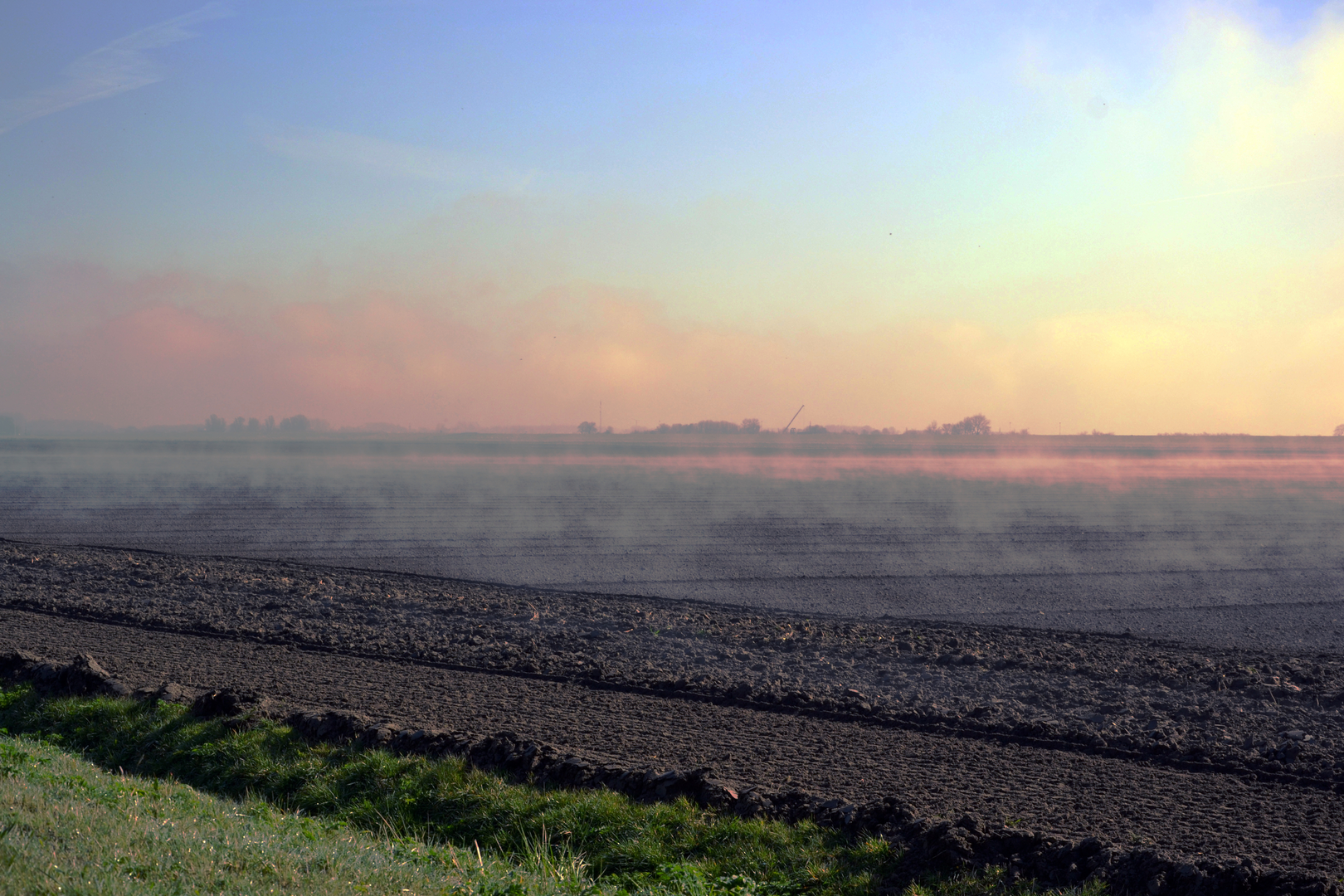
You’ll be walking in the wide-open, sea-level landscapes of Nationaal Park Lauwersmeer, where grasslands, reedbeds, shallow pools, and low woodland sit behind dikes that once held back the Lauwerszee (a former sea inlet). The loop is about 20 km / 12.4 mi with essentially 0 m / 0 ft of climbing—easy on the legs, but very exposed to wind and weather.
Nearest start landmark / address (trailhead area)
A practical place to begin is the parking area on/near Kwelderweg in Kollumerpomp, by the signed start for routes around Kollumeroord/Kollumerwaard. The national park route info points to Kwelderweg 2, 9293 MG Kollumerpomp (Netherlands) as a startpoint for the Kollumeroord bird route area, and Staatsbosbeheer also references a parking place on Kwelderweg (9293 MJ) between Dokkumer Nieuwe Zijlen and Zoutkamp. (np-lauwersmeer.nl)
If you’re using HiiKER for navigation, match your start to the Kwelderweg/Kollumerpomp trailhead and confirm you’re at the correct parking pull-in before you set off.
Getting to the start (car + public transport)
By car:
Drive toward Kollumerpomp and follow signs for Nationaal Park Lauwersmeer / Kollumeroord / Kollumerwaard. Kwelderweg runs along the dike edge; parking is typically a small lot/pull-off rather than a big facility, so arrive early on fair-weather weekends.
By public transport:
This is a rural corner of Friesland/Groningen, so public transport usually means train to a larger town (often Buitenpost) + bus/taxi toward Kollumerpomp/Dokkumer Nieuwe Zijlen, then a short walk to Kwelderweg. Plan extra time for low-frequency services and check the last return options before committing to the full 20 km.
What the route feels like underfoot
Expect a mix of dike-top tracks, grassy field-edge paths, and reedland trails. Even though the elevation gain is near zero, the “effort” can change a lot with conditions:
- Autumn/winter: sections can be very wet and muddy, with standing water in low spots—waterproof boots are often the difference between pleasant and miserable. (np-lauwersmeer.nl)
- Wind exposure: there’s little shelter on the open dikes and flats; a calm forecast can still feel brisk near the water.
Distance-wise, it helps to think of the loop as three linked landscapes: - Kollumeroord grasslands + reedbeds (big sky, birds, wet edges) - Zomerhuisbos (a low, sheltered woodland interlude) - Kollumerwaard (wilder-feeling reed-and-water mosaic with major viewpoints)
Landmarks and nature highlights (with rough distance cues)
0–5 km / 0–3.1 mi: Dikes, wet grassland, and reed margins
Right away you’re in classic Lauwersmeer terrain: open fields, drainage channels, and reedbeds that can be loud with birdlife in spring and early summer. Keep scanning fence lines and posts for raptors.
Around 5–9 km / 3.1–5.6 mi: Zomerhuisbos + the lookout mound
The route threads into Zomerhuisbos, a welcome change from the open flats. Midway through the Kollumeroord route network there’s an “uitkijkheuvel” (lookout hill/mound) giving a broad view over the Lauwersmeer area—one of the best places to pause for a snack and a long scan across reeds and water. (np-lauwersmeer.nl)
Around 9–15 km / 5.6–9.3 mi: Kollumerwaard viewpoints (Rechteind + De Baak)
As you swing into Kollumerwaard, the feel becomes more “rewilded”: shallow waters, extensive reedbeds, and big grazers maintaining open habitat. Two standout viewing points commonly referenced here are:
- Kijkheuvel Rechteind (a birdwatching mound) (ontdeknoordgroningen.nl)
- **Uitk

Surfaces
Grass
Concrete
Unknown
Asphalt
Ground
Dirt
Sand
Wood
Comments and Reviews
User comments, reviews and discussions about the Kollumeroord, Zomerhuisbos and Kollumerwaard Loop, Netherlands.
average rating out of 5
0 rating(s)