Download
3D Flyover
Add to list
More
8.4 km
~1 hrs 40 min
0 m
Loop
“Wander through wild meadows, ancient riverbanks, and vibrant wildlife on this ever-changing Dutch adventure.”
The Millingerwaard and Observatiepunt Loop is an approximately 8-kilometer (5-mile) circular trail located near Kekerdom in the Gelderland province of the Netherlands. With virtually no elevation gain, this easy hike offers a unique opportunity to explore a dynamic riverine landscape rich in biodiversity and history.
Getting There
The trailhead is accessible from the village of Kekerdom, situated about 15 kilometers (9 miles) east of Nijmegen. For those traveling by car, parking is available between Kekerdom and Millingen aan de Rijn. If using public transportation, bus line 80 from Nijmegen station stops in Kekerdom, from where the trailhead is a short walk. (birdingplaces.eu)
Trail Overview
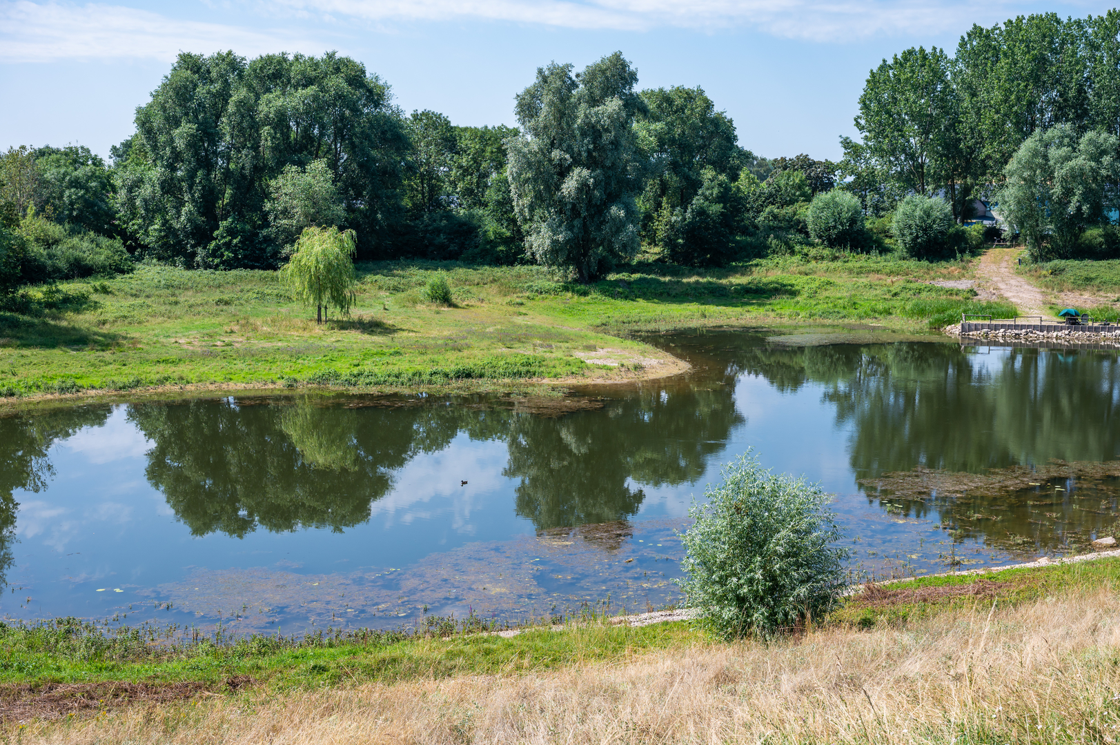
Starting near the Kekerdomse Ward, the loop meanders through the Millingerwaard nature reserve, a rewilded area along the Waal River. The terrain is predominantly flat, consisting of unpaved paths that traverse floodplain forests, reed beds, and open grasslands. Depending on the season and recent weather conditions, some sections may be muddy or even flooded, so waterproof footwear is advisable. (alltrails.com)
Key Landmarks and Points of Interest
Millingerwaard Nature Reserve: This area is a prime example of rewilding efforts in the Netherlands. Once agricultural land, it has been transformed into a thriving ecosystem where natural processes are allowed to shape the landscape. The reserve features river dunes, secondary channels, and floodplain forests. (rewildingeurope.com)
Observatiepunt (Observation Point): Approximately halfway through the loop, you'll reach an observation point offering panoramic views of the Waal River and surrounding floodplains. This spot is ideal for birdwatching and appreciating the dynamic river landscape.
Flora and Fauna
The Millingerwaard is home to a diverse array of wildlife. Free-roaming Konik horses and Galloway cattle graze the area, contributing to the maintenance of the open landscape. Bird enthusiasts can spot species such as the great egret, spoonbill, white-tailed eagle, and black tern. Beavers and deer are also present, though they are more likely to be seen during twilight hours. (alltrails.com)
Historical Significance
The Millingerwaard is part of the Gelderse Poort, a region that has undergone significant ecological restoration since the early 1990s. Originally used for intensive agriculture and clay extraction, the area was rewilded to allow natural river dynamics to reshape the landscape. This transformation has not only enhanced biodiversity but also improved flood management and water quality. (rewildingeurope.com)
Trail Conditions and Recommendations
The trail is well-marked but can be affected by seasonal flooding, especially after heavy rainfall. It's advisable to check local weather forecasts and flood warnings before embarking on the hike. Dogs are welcome but must be kept on a leash. Given the presence of free-roaming livestock, it's important to maintain a respectful distance and avoid feeding the animals. (alltrails.com)
Navigation
For detailed maps and real-time GPS tracking, consider using the HiiKER app, which provides comprehensive information to ensure you stay on course throughout the hike.
Embarking on the Millingerwaard and Observatiepunt Loop offers a unique opportunity to experience the harmonious blend of natural beauty, wildlife, and historical transformation that defines this region of the Netherlands.

Surfaces
Sand
Unknown
Asphalt
Grass
Dirt
Unpaved
Concrete
Comments and Reviews
User comments, reviews and discussions about the Millingerwaard and Observatiepunt Loop, Netherlands.
average rating out of 5
0 rating(s)