Download
3D Flyover
Add to list
More
53.1 km
~2 days
7 m
Multi-Day
“From campus bustle to watery polder horizons and whispering pinewoods, a long, mostly-flat wander.”
This is a long, low-relief day (about 53 km / 33 mi with roughly 0 m / 0 ft of climbing) that stitches together three very different landscapes on Utrecht’s northeast side: the built-up edges of Utrecht Science Park (De Uithof), the open, watery grasslands of Park Voorveldse Polder by Fort De Bilt, and the sandy pine-and-oak forests around Lage Vuursche on the Utrechtse Heuvelrug. Expect a mostly flat profile, frequent path junctions, and a steady mix of paved connectors and unpaved park/forest tracks.
Getting to the start (and where “near” actually is)
Because “Weg tot de Wetenschap” is a named road inside Utrecht Science Park, the most practical start landmark is the Weg tot de Wetenschap, Utrecht (Utrecht Science Park / De Uithof area). (utrecht.nl)
- By public transport: From Utrecht Centraal, you can reach Utrecht Science Park by city transit (tram/bus connections run frequently to the campus area). Use HiiKER to pin the exact start point on Weg tot de Wetenschap and choose the nearest stop for the day you’re hiking. (moovitapp.com)
- By car: Parking rules in the Science Park area can be time- and zone-dependent; plan ahead and identify a legal lot near your chosen start point on Weg tot de Wetenschap (HiiKER is useful for aligning your parking choice with the first kilometers so you don’t begin with a long road-walk). (utrecht.nl)
If your GPX includes lon/lat points, share them and I’ll translate each to the nearest street address or major landmark (e.g., a named parking area, station, fort entrance, or village center).
What the terrain feels like over 53 km / 33 mi
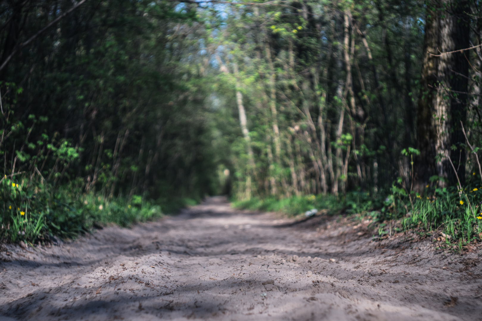
Underfoot: You’ll likely rotate through campus-side cycleways/footways, compacted gravel in the polder park, and sandy forest paths near Vuursche. After rain, the polder edges can hold water and the forest can develop soft, churned sand—both slow your pace even though the route is “easy” on paper.
Navigation: This is a junction-heavy region (parks, cycle routes, bridleways, and forest tracks overlap). Load the route in HiiKER and keep an eye on short “connector” segments where it’s easy to drift onto a parallel bike path.
Time planning: At typical long-walk pace with short breaks, many hikers will need 10–13 hours moving time for 53 km / 33 mi. Build in extra buffer for food stops and any detours around works, closures, or muddy sections.
Utrecht Science Park → Voorveldse Polder (first ~10–18 km / ~6–11 mi)
The opening kilometers around Weg tot de Wetenschap are modern and functional: broad roads, campus buildings, sports facilities, and green corridors that double as ecological and recreation links. This area is part of Utrecht Science Park (De Uithof), developed as a major university/medical/science hub (the site’s large-scale expansion dates to the mid-20th century). (en.wikipedia.org)
As you transition toward Park Voorveldse Polder, the feel changes quickly—less architecture, more open sky and water. The park sits on Utrecht’s eastern edge and is bounded by major roads and Fort De Bilt. (voorveldsepolder.nl)
What to look for - Fort De Bilt: part of the New Dutch Water Line defensive system—an important piece of Dutch military-water engineering history where inundation (controlled flooding) was used as a defense strategy. (trfihi-parks.com)

Surfaces
Asphalt
Unknown
Unpaved
Gravel
Concrete
Paved
Wood
Dirt
Sand
Comments and Reviews
User comments, reviews and discussions about the Weg tot de Wetenschap, Voorveldse Pad and Vuursche Pad Loop, Netherlands.
average rating out of 5
0 rating(s)