Download
3D Flyover
Add to list
More
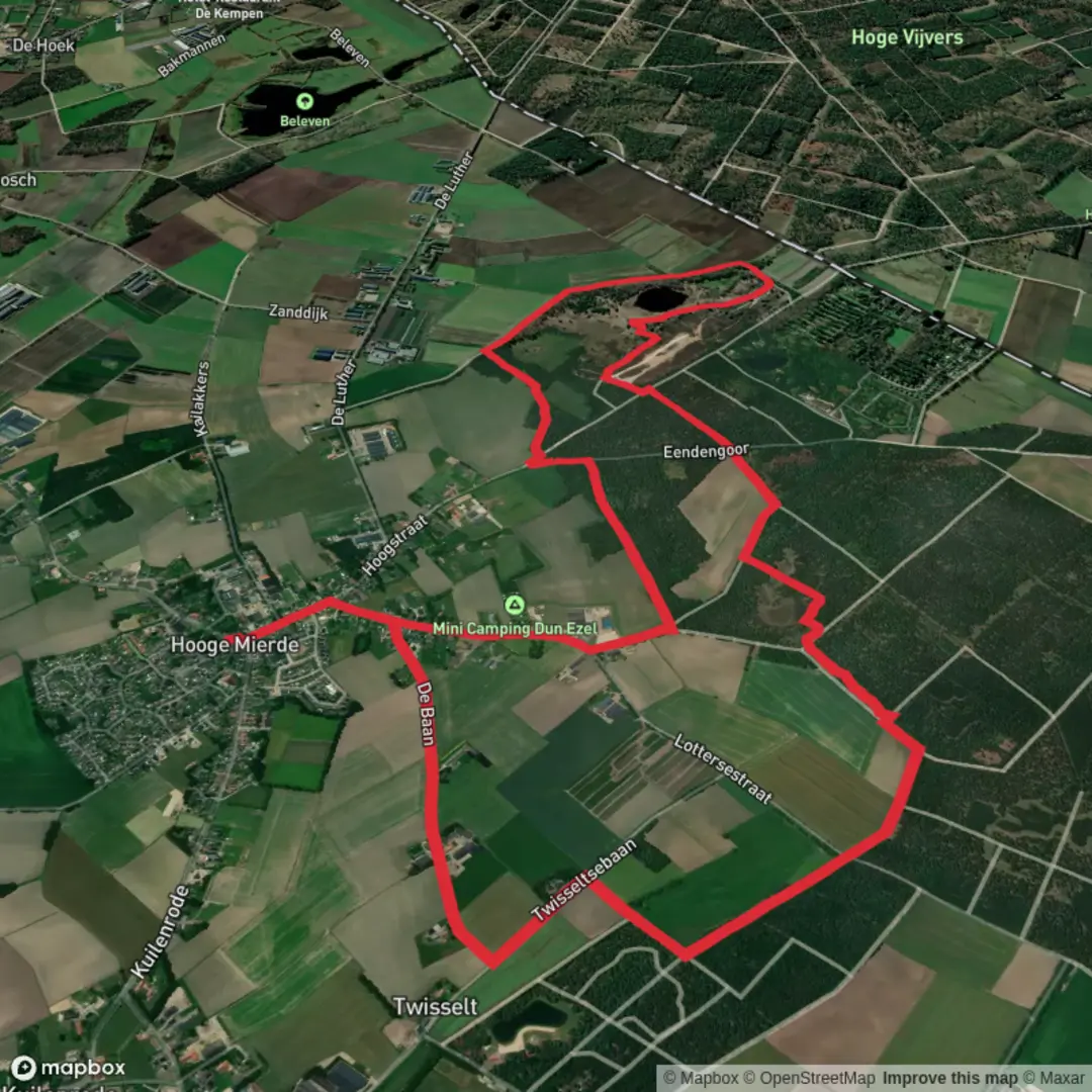
10.1 km
~2 hrs 2 min
7 m
Loop
“Wander through a tapestry of tranquil forests, shimmering vens, and historic borderlands, where nature and history entwine.”
Embarking on the Zwartven via Grenslandpad hike offers a serene journey through the lush landscapes of the Chaamse Bossen in the Netherlands. This approximately 10-kilometer (6.2-mile) loop trail is characterized by its flat terrain, making it accessible for hikers of all levels. The route meanders through dense forests, tranquil vens (small lakes), and open heathlands, providing a diverse natural experience.
Starting Point and Access
The trailhead is conveniently located near the village of Chaam, in the province of North Brabant. For those traveling by public transport, buses from Breda or Tilburg serve Chaam regularly. If arriving by car, parking is available near the Stayokay Hostel 'Het Putven' at the following address:
Stayokay Hostel 'Het Putven' Chaam, Netherlands A hostel located near the trailhead, offering parking facilities for hikers.
Trail Navigation and Highlights
Beginning at the Stayokay Hostel, the path leads you into the heart of the Chaamse Bossen, a forested area managed by Staatsbosbeheer (the Dutch Forestry Commission). The trail is well-marked with red and white blazes, guiding you through a variety of landscapes.
Putven: Early in the hike, you'll encounter the Putven, an idyllically situated ven on the western side of the Chaamse Bossen. This area, once characterized by sand drifts and wet heathlands, has been transformed into a rich forest ecosystem. The Putven serves as a habitat for various bird species and offers picturesque views, especially during sunrise and sunset.
Ossengoor: As you progress, the trail leads to the Ossengoor, a former agricultural enclave now restored to its natural state. This area has been converted into a 'winterven,' a natural depression that fills with water during the winter months and gradually dries up in the spring and early summer. The restoration efforts aim to revive the original wet heathland vegetation, attracting species such as the sundew and the rare veenbies.
Grenspaal 204: A notable historical landmark along the route is Grenspaal 204, one of the 388 cast-iron boundary markers erected in 1843 to demarcate the border between the Netherlands and Belgium. Standing at 1.87 meters tall, these markers are remnants of the post-Belgian Revolution era and symbolize the region's complex history. The trail follows the border closely, offering insights into the cultural and historical significance of these markers.
Flora and Fauna
The Chaamse Bossen are home to a diverse array of wildlife. Keep an eye out for:
Birds of Prey: The expansive forests provide ideal hunting grounds for birds such as the buzzard and the sparrowhawk. Their presence is a testament to the area's rich biodiversity.
Ree (Roe Deer): These shy creatures are often spotted grazing at the forest's edge during the early morning or late evening hours. Their sightings add a touch of enchantment to the hike.
Heathland Vegetation: Depending on the season, the heathlands burst into color with blooming heather, creating a vibrant purple landscape. This is particularly striking in late summer.
Trail Conditions and Recommendations
The trail consists of well-maintained dirt paths and occasional sandy stretches. Given the flat terrain, it's suitable for hikers of all ages and fitness levels. However, after heavy rains, certain sections may become muddy, so waterproof footwear is advisable.
For navigation, it's recommended to use the HiiKER app, which provides detailed maps and real-time updates on the trail. This ensures a seamless hiking experience without the worry of losing your way.
Historical Context
The Grenslandpad, or Borderland Path, is a long-distance trail that runs along the intricate border between the Netherlands and Belgium. The section encompassing the Zwartven area is rich in history, with the aforementioned boundary markers serving as tangible links to the past. The region's history of land reclamation and forestation efforts in the early 20th century is evident in the landscape, reflecting the Dutch commitment to land management and conservation.
Getting There
By Public Transport: From Breda or Tilburg, take a bus to Chaam. The Stayokay Hostel 'Het Putven' is a short walk from the bus stop.
By Car: Navigate to the Stayokay Hostel 'Het Putven' in Chaam, where parking facilities are available. The hostel's address is:
Stayokay Hostel 'Het Putven' Chaam, Netherlands A hostel located near the trailhead, offering parking facilities for hikers.
Embarking on this hike not only offers a peaceful retreat into nature but also a journey through a landscape shaped by both natural processes and human history.

Surfaces
Dirt
Unknown
Unpaved
Asphalt
Ground
Comments and Reviews
User comments, reviews and discussions about the Zwartven via Grenslandpad, Netherlands.
average rating out of 5
0 rating(s)