Download
3D Flyover
Add to list
More
15.6 km
~3 hrs 26 min
195 m
Loop
“Wander South Limburg’s borderland patchwork—sunken lanes, shady woods, and castle villages, sometimes muddy.”
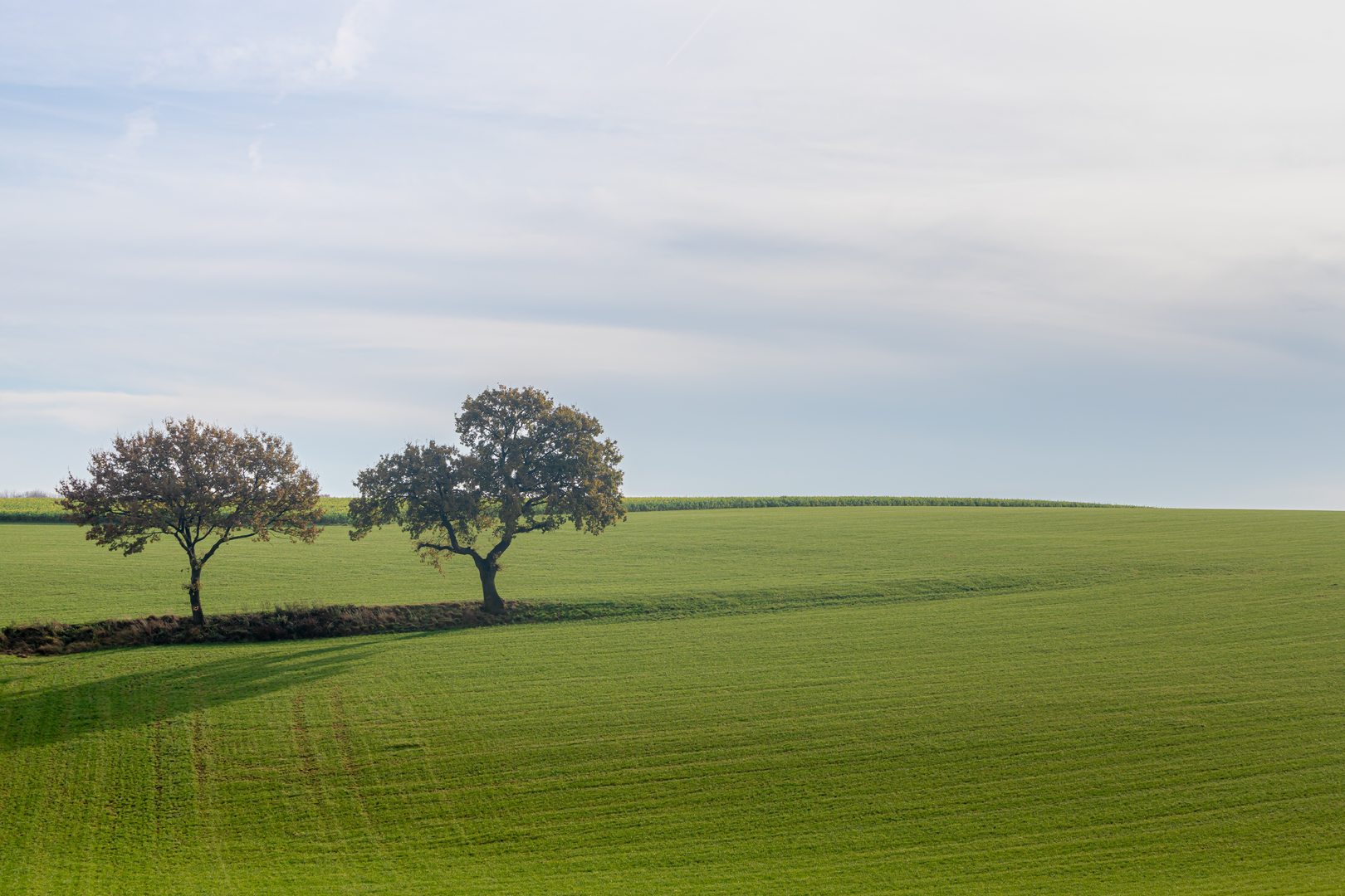
This easy loop of roughly 16 km (10.0 mi) with about 200 m (656 ft) of climbing wanders through a classic patchwork of South Limburg farmland, sunken lanes, small woodland blocks, and castle-country villages right on the Dutch–Belgian border. Expect frequent transitions: open fields with long views, short shady forest stretches, and quiet lanes linking hamlets and historic estates. Underfoot is typically a mix of firm farm track, paved village streets, grassy field-edge paths, and woodland dirt, with a few potentially muddy sections after rain—especially where paths dip into hollows and along field margins.
Getting to the start (car + public transport)
Because the start point you provided is incomplete (“near …”), the most practical way to plan is to begin from a well-known, easy-to-reach anchor in the area the route name points to: Lemiers (near Vaals, Netherlands), close to Kasteel Lemiers. A sensible “nearest significant landmark” start is Kasteel Lemiers / the Lemiers village center area (Vaals municipality), where you’ll typically find roadside parking and bus access.
- By car: Navigate to Lemiers (Vaals), near Kasteel Lemiers. Parking is usually along village streets or small public areas; be mindful of residents, farm access, and any local signage.
- By public transport: The region is well served by buses connecting Aachen (DE), Vaals, and surrounding villages. The most reliable approach is to route yourself to Vaals first, then take a local bus or short walk onward to Lemiers. Use HiiKER to confirm the exact trailhead point and the closest stop to it once you’ve loaded the loop.
If you share the exact lon/lat for the trailhead, I can convert it to the nearest specific address/landmark and tailor the transport directions precisely.
You’ll start among tidy village edges and pastureland, where the route quickly establishes the character of the day: rolling terrain rather than steep hills, with short rises that add up to the ~200 m (656 ft) total. Early on, you’ll likely follow field tracks between hedgerows—a good place to watch for buzzards and kestrels hovering over the fields, and in spring/summer, plenty of songbirds along the scrubby margins. In damp seasons, the low points can hold water; waterproof footwear isn’t mandatory for an “easy” rating, but it’s a smart choice if rain has fallen recently.
As you arc away from the village, the landscape becomes more wooded in pockets—this is where the Kolmonder Bosch portion typically comes into play. “Bosch/bos” in this region often means compact, managed woodland rather than vast forest: expect beech and oak, occasional conifers, and a soft, leaf-littered tread. These shaded sections can be slick with wet leaves in autumn and winter. Keep an eye out for roe deer at the edges of clearings, and listen for woodpeckers—you’ll often hear them before you see them.
Woods, holloways, and the “Graven” character
One of the most distinctive features of South Limburg walking is the network of sunken lanes (holloways)—paths worn down over centuries by feet, hooves, carts, and erosion. The “Graven” element in the route name suggests you’ll encounter at least one of these cut-in tracks or historic lanes. They’re atmospheric and sheltered, but they can also be: - Muddy and rutted after rain - Narrow with steep banks, where passing can be awkward - Slippery where clay is exposed
Plan for slower pacing through these sections. Trekking poles can help with balance on the short, slick descents and climbs, even though the overall hike is easy.
Distance-wise, a comfortable way to think about the loop is in thirds: - First ~5–6 km (3.1–3.7 mi): farmland lanes and field edges, gentle warm-up climbs - Middle ~5–6 km (3.1–3.7 mi): the most wooded and “enclosed” walking (Kolmonder Bosch area), with the most likely muddy patches - Final ~4–6 km (2.5–3.7 mi): village approaches and estate/castle-country scenery, generally firmer underfoot
Kasteel Lemiers and regional history
The Kasteel Lemiers area is a highlight because it sits in a landscape shaped by borderland history and estate agriculture. Castles and manor houses here often began as defensive or status estates and later evolved into country residences and working agricultural hubs. Even when you’re not entering grounds, you’ll notice the telltale signs: formal tree lines, long straight drives, old boundary walls, and carefully managed fields.
This region—where the Netherlands, Belgium, and Germany meet nearby—has long been a corridor for trade and movement. The patchwork of languages, place names, and architectural styles reflects that borderland character. As you pass through hamlets and along older lanes, you’re often walking routes that predate modern roads, linking farms, churches, mills, and estates.
What to watch for (conditions + safety)
- Farm traffic: Tractors and delivery vehicles can appear suddenly on narrow lanes. Step aside early and avoid blocking gates.
- Electric fencing & livestock: Cattle and horses are common. Keep distance, close gates behind you, and don’t assume a wire is inactive.
- **Mud and slick

Surfaces
Asphalt
Dirt
Unknown
Sand
Ground
Gravel
Grass
Concrete
Comments and Reviews
User comments, reviews and discussions about the Wahlwiller Graven, Kolmonder Bosch and Kasteel Lemiers Loop, Netherlands.
average rating out of 5
0 rating(s)