Download
3D Flyover
Add to list
More
18.4 km
~3 hrs 40 min
0 m
Point-to-Point
“A wind-sculpted Ameland loop weaving dunes, lookout crests, sheltered slacks, and pine-quiet woods—sand underfoot.”
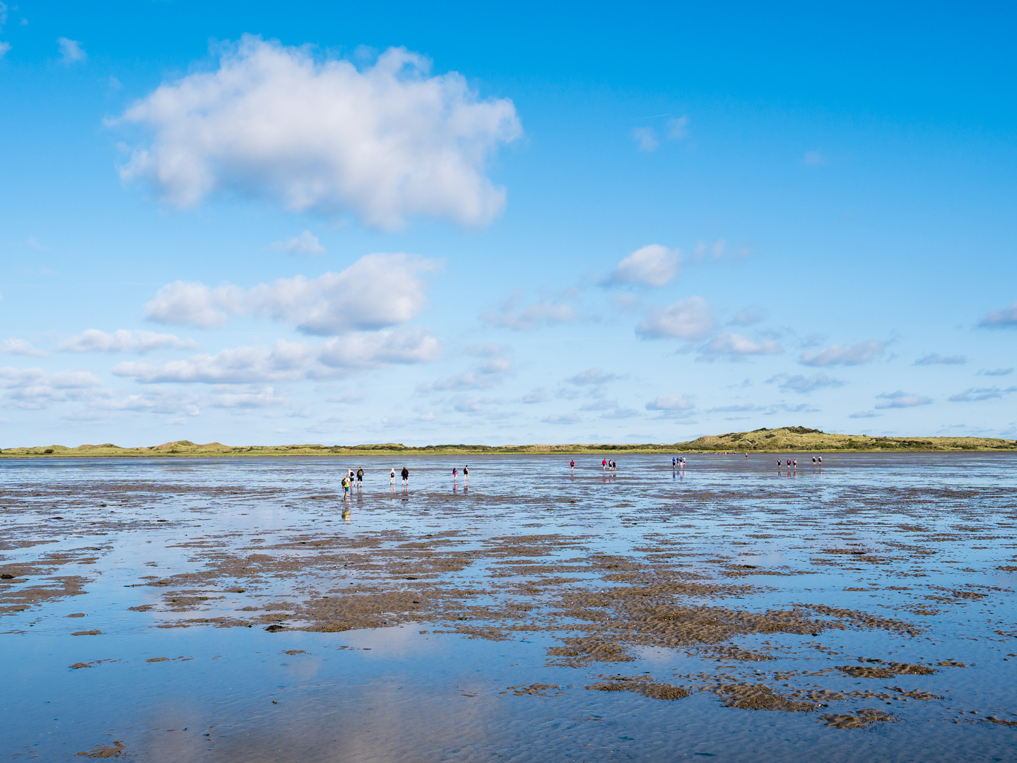
This is a low-lying, wind-shaped loop through Ameland’s west-and-central dune belt, linking four distinct landscapes: the open dune ridges of the Hollumerduinen, the higher lookout dunes around Ballum (including the Ballumer Blinkert), the more sheltered dune-and-field edge by the Zwanewaterduinen, and the piney, birdy calm of Nesserbosch near Nes. At around 18 km (11.2 mi) with roughly 0 m (0 ft) of net elevation gain, it’s “easy” by gradient—but expect sand, wind, and soft footing to be the real effort-makers.
Start location (nearest landmark/address): a practical start is near Hollum village, close to the holiday park area at Oosterhiemweg, Hollum (postcode 9161)—a well-known access point right on the edge of the Hollumerduinen and within easy reach of village services. (If you’re using HiiKER, pick the nearest Hollum trail access/parking point along Oosterhiemweg.)
Getting to the start (car + public transport)
- By car (mainland + ferry): Drive to Holwerd (Friesland) and take the ferry to Ameland (Nes ferry terminal). From the terminal, it’s a straightforward cross-island drive to Hollum (about 10–15 km / 6–9 mi depending on route).
- By public transport: The ferry operator notes there are bus connections from Leeuwarden to Holwerd timed to ferry departures, and on arrival at Nes (Ameland) there are buses waiting for the villages. (wpd.nl)
On Ameland, Qbuzz runs island buses; Line 1 links the ferry – Nes – Ballum – Hollum, which is ideal for reaching the start without a car. (vvvameland.com)
What the route feels like, section by section
0.0–4.5 km (0.0–2.8 mi): Hollumerduinen – wide dune ridges and sea air
Leaving the edge of Hollum, you quickly trade houses and hedges for dune grass, sandy tracks, and low scrub. The terrain is mostly flat-to-gently rolling, but the walking can be slower than expected where sand is loose. In clear weather you’ll often feel the North Sea influence immediately—wind can be strong even when the village feels calm.
Look out for:
- Soft sand pockets that sap energy (especially on informal dune paths).
- Cyclists on shared dune tracks—Ameland has a dense path network and bikes move fast on firm sand and paved connectors.
4.5–8.5 km (2.8–5.3 mi): Ballumerduinen and the Ballumer Blinkert – the island’s “high point” feeling
As you angle toward Ballum, the dunes subtly rise into more defined crests. A key landmark here is the Ballumer Blinkert, a prominent dune on the narrowest part of Ameland with big views over dunes, woodland, and the Wadden Sea side. (vvvameland.com)
There’s also a striking historical layer: the Blinkert was lowered by about 5 metres (~16 ft) during World War II due to bunker construction—one of those places where the landscape itself shows human history. (vvvameland.com)
Look out for:
- Wind exposure on the dune tops—bring a shell layer even on mild days.
- Hidden drops on lee sides of dunes where paths cut steeply down.
8.5–13.5 km (5.3–8.4 mi): Zwanewaterduinen – dune edges, wet hollows, and birdlife
This middle stretch tends to feel more sheltered as you move into dune valleys and the transition zone between dunes and fields. The “Zwanewater” name is strongly associated locally with the Nes area and the dune fringe near Verbindingsweg 12, 9163 GC Nes (a useful landmark if you need to orient yourself). (vvvameland.com)
Expect a mix of sandy paths, firmer tracks, and occasional damp patches in low spots after rain. These dune slacks can be surprisingly lush compared with the dry ridges—good habitat for insects and birds.
Look out for:
- **After-r

Surfaces
Unknown
Grass
Concrete
Sand
Ground
Asphalt
Unpaved
Dirt
Wood
Comments and Reviews
User comments, reviews and discussions about the Hollumerduinen, Ballumerduinen, Zwanewaterduinen and Nesserbosch, Netherlands.
average rating out of 5
0 rating(s)