Download
3D Flyover
Add to list
More
69.2 km
~3 days
0 m
Multi-Day
“An all-day, mostly level loop through white sands, whispering heaths, quiet fens, and a skyward lookout.”
A roughly 69 km (43 mi) loop with essentially flat terrain (about 0 m / 0 ft of total ascent) that strings together dune-like inland sands, heathland, fens, and a lookout tower. Even though the elevation profile is gentle, the length makes this an all-day outing for fast walkers, and a very long day (or an overnighter, if you’re planning legally and responsibly) for most hikers. Expect a mix of wide forest tracks, sandy paths, and narrow heathland singletrack where footing and wind exposure can change quickly.
Getting to the start (car + public transport)
Because the start is listed only as “near” (no coordinates provided), the most reliable way to pinpoint the exact trailhead is to open the route in HiiKER and use its start-point navigation to the nearest parking area or transit stop.
- By car: This loop sits in the Dutch–Belgian border region landscape of forests and heaths (common around Noord-Brabant and the Kempen). Trailheads here are typically served by signed nature-area car parks (often “P” lots at forest entrances). Plan for limited spaces on sunny weekends and check for any local access restrictions (some heath and dune reserves close certain paths seasonally).
- By public transport: The area is usually reachable via regional rail to a nearby town, then a bus plus a short walk or bike to a nature-area entrance. If you’re coming from a larger hub, plan for fewer bus departures early/late in the day—important on a 69 km (43 mi) itinerary where you may finish after the last bus.
If you share the route’s lon/lat (or a HiiKER link), I can translate the start point to the nearest known address or landmark and suggest the most practical parking lot or stop.
What to pack and plan around: - Time & pacing: 69 km (43 mi) on flat ground still demands sustained movement. Many hikers will be looking at 12–16+ hours depending on breaks and surface conditions. - Footing: Sand and heath can be deceptively tiring; choose shoes that handle loose sand and long stretches of firm track. - Water & resupply: These landscapes often have long quiet sections with few services. Identify cafés, villages, or visitor centers along the perimeter in HiiKER before you commit. - Wind/rain exposure: Heath and open sand patches offer little shelter; a light shell can matter even on mild days.
Terrain, surfaces, and navigation
You’ll rotate through four main surface types: 1. Forest and estate tracks: Fast, flat, and forgiving—good for steady mileage. 2. Sandy “white dune” sections (De Witte Duinen): Inland sand can feel like beach walking in places. Expect slower pace, more calf fatigue, and occasional drifting sand that softens trail edges. 3. Heathland (Rovertsche Heide): Narrower paths, low shrubs, and open sightlines. In wet periods, some low spots can hold water. 4. Fen/pond edges (Bankven): Typically firm paths with occasional muddy margins; stay on the established tread to protect fragile banks and vegetation.
Navigation is straightforward in clear weather, but the combination of sandy braids, intersecting forestry roads, and open heath can create “looks-the-same” junctions. Keep HiiKER handy and confirm turns at major crossings rather than trying to correct later—detours can add significant distance on a loop this long.
Landmarks and natural highlights (with approximate spacing)
Because this is a long loop linking multiple named areas, it helps to think of it as a chain of highlights rather than one continuous “trail.”
Early kilometers (first ~10–15 km / 6–9 mi): De Witte Duinen You’ll likely start with forest approach paths that gradually transition into paler, sandier ground. Inland “white dunes” are typically remnants of wind-blown sands stabilized by surrounding woodland management. Look for open sandy clearings, scattered pines/birches, and a brighter, more reflective surface underfoot.
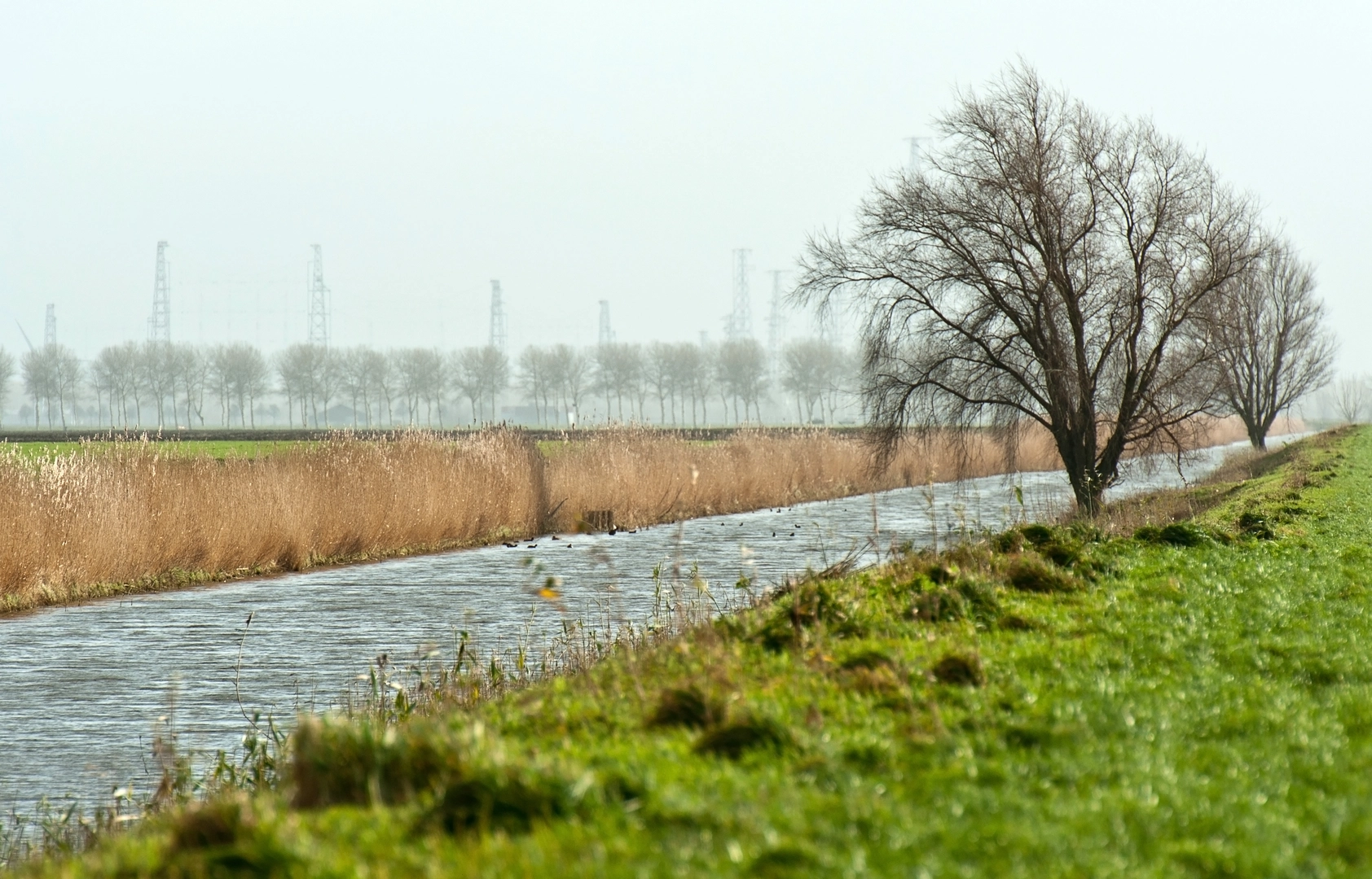
Mid-route (~20–35 km / 12–22 mi): Bankven “Ven” landscapes are characteristic of the region—shallow fens/ponds formed in low-lying sandy basins. Expect reed edges, wet hollows, and a noticeable shift in birdlife. This is a good place to slow down and scan: waterfowl, herons, and small songbirds are common, and you may see dragonflies in warmer months.
Mid-to-late (~35–50 km / 22–31 mi): Uitzichttoren (lookout tower) The tower is your big “reset” landmark—use it as a mental checkpoint. From the top (when open/accessible), you typically get a broad view over heath, forest blocks, and the patchwork of sandy clearings. It’s also a practical spot for a longer break because it’s easy to relocate on the map afterward.
Late kilometers (~50–69 km / 31–43 mi): Rovertsche Heide Heathland tends to feel more exposed and spacious, especially if you hit it in the afternoon when wind picks up. In late summer, heather can color the landscape; outside that season it’s more muted but still striking for its openness. Trails here can be narrower and more winding—watch for subtle junctions where a main-looking track continues straight but the route turns onto a smaller path.
Wildlife and what to look out for
- Birdlife: Fen edges and open heath are prime for birdwatching. Early morning and late afternoon are best.
- Large mammals: Deer are plausible in forest/heath

Surfaces
Sand
Dirt
Unknown
Asphalt
Ground
Concrete
Gravel
Unpaved
Grass
Wood
Comments and Reviews
User comments, reviews and discussions about the De Witte Duinen, Bankven, Uitzichttoren and Rovertsche Heide Loop, Netherlands.
average rating out of 5
0 rating(s)