Download
3D Flyover
Add to list
More
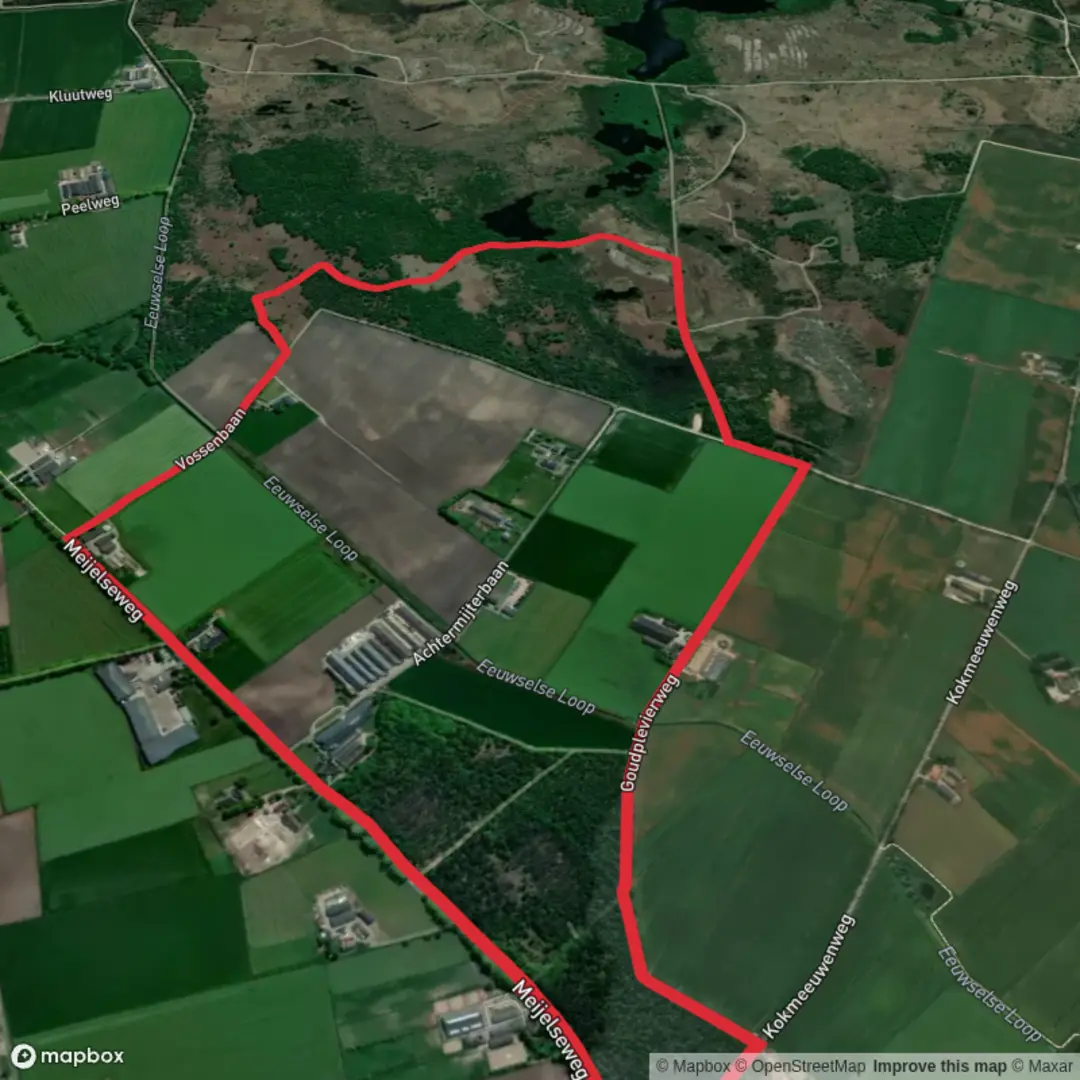
5.9 km
~1 hrs 10 min
0 m
Loop
“Drift through Brabant’s quiet woods and field edges on mostly level tracks—best savoured in drier spells.”
A gentle, mostly level woodland-and-farmland circuit of about 6 km (3.7 mi) with roughly 0 m (0 ft) of climbing, this walk is ideal when you want easy footing, lots of trees, and a quiet slice of the Brabant countryside. Expect a mix of sandy forest tracks, compacted paths, and short paved connectors between small lanes and field edges—generally straightforward in dry weather, with a few spots that can hold water after rain.
Getting to the start (car + public transport)
Because the start point is listed only as “near” (no coordinates or town provided), the most reliable way to pinpoint the exact trailhead is to open the route in HiiKER and use its start-point navigation. Once you share the start lon/lat (or a HiiKER link), I can translate it to the nearest known address or landmark and tailor the directions precisely.
For planning purposes, the Eeuwselse Bossen / Asten area is typically approached via: - By car: Drive toward Asten (North Brabant, Netherlands) and aim for parking near a forest access point (often signed for local “bos” entrances, small recreation car parks, or trailhead pull-ins). In this region, parking is usually informal but designated—look for marked bays rather than soft verges to avoid getting stuck in sand. - By public transport: The most common approach is train to a larger hub (often Helmond in this part of Brabant) and then bus toward Asten, finishing with a short walk or bike to the forest edge. Check the final bus stop location against the HiiKER start point so you’re not adding unexpected road-walking.
What the route feels like underfoot
With essentially no elevation change, the “difficulty” comes down to surface conditions rather than hills: - Forest sections: Sandy or needle-covered tracks can be soft; after wet spells, low spots may turn muddy. - Edges of fields / lanes: Short paved stretches are common on loops like this; they’re easy walking but can feel exposed on windy days. - Wayfinding: Intersections in managed woodland can look similar. Keep HiiKER handy at junctions where multiple forestry tracks branch off at shallow angles.
Landmarks, landscape, and the character of the area
You’ll be walking through a landscape shaped by a long relationship between woodland management and agriculture. In North Brabant, many “bossen” (woods) are managed forests—often a patchwork of conifers and mixed deciduous stands—interspersed with open farmland and drainage features that keep low-lying ground workable.
Look out for: - Straight forestry lines and track grids: These are typical of planted or managed woodland, designed for access and timber work. - Field margins and hedgerows: Even on an easy loop, these transitions are where you’ll notice the most bird activity. - Drainage ditches and wet hollows: Flat terrain often means water has to be guided; you may see small channels, culverts, or damp depressions.
Nature and wildlife to watch for
Wildlife sightings vary by season and time of day, but this kind of lowland woodland mosaic commonly supports: - Birdlife: Tits, finches, woodpeckers in the trees; corvids and raptors over open fields. Dawn and late afternoon are usually best. - Mammals: Roe deer can appear at woodland edges; rabbits are common on sandy ground. In quieter stretches you may notice tracks in soft sand. - Insects and plants: In warmer months, expect butterflies along sunny rides and a mix of mosses and fungi in shaded, damp patches.
If you’re hiking in spring/summer, consider tick awareness in grassy edges and leaf litter: long socks and a quick post-hike check are sensible.
Route pacing (approximate distance markers)
Without the exact mapped line, a typical 6 km (3.7 mi) loop here often breaks down like this: - 0–1.5 km (0–0.9 mi): Settling in on easy tracks—often a forest entry or lane-to-wood transition. - 1.5–4.5 km (0.9–2.8 mi): The “core” woodland and field-edge mix, with the most junctions and the most consistent tree cover. - 4.5–6 km (2.8–3.7 mi): Gradual return via broader tracks or a short paved connector back toward the start.
At an easy pace with stops for navigation and wildlife, many hikers will take 1.5–2 hours.
Practical prep: what to bring and what to look out for
- Footwear: Light hiking shoes are usually enough; after rain, choose something with decent tread for sandy-muddy patches.
- Weather exposure: Even though it’s wooded, open farmland connectors can be breezy—pack a wind layer.
- Navigation: Use HiiKER at track junctions; in managed forests, “the obvious path” can change with forestry work.
- Forestry activity: You may encounter maintenance vehicles or temporary track wear. Give machinery space and expect occasional detours around rutted sections.
- Dogs and livestock: If the loop skirts fields, keep dogs close where stock may be present and be mindful of electric fencing.
Historical context (regional)
This part of North Brabant reflects centuries of land use where heathland, woodland, and agriculture have shifted with changing needs—fuel, timber, grazing, and later more structured forestry and farming. The flatness and the presence of drainage features are also part of the story

Surfaces
Asphalt
Unknown
Unpaved
Sand
Gravel
Comments and Reviews
User comments, reviews and discussions about the Eeuwselse Bossen and Asten Loop, Netherlands.
average rating out of 5
0 rating(s)