Download
3D Flyover
Add to list
More
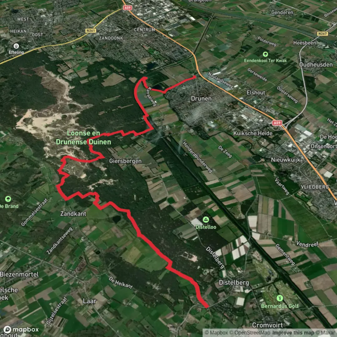
17.8 km
~3 hrs 33 min
0 m
Point-to-Point
“A flat Vught loop of sandy heath, quiet woods and mirror-still water, shadowed by WWII memory.”
You’re looking at a very flat, low-effort 18 km (≈11.2 mi) loop-style day out in and around Vught, mixing sandy heath/woodland with water features and a few places where the landscape carries heavy WWII history. With essentially 0 m / 0 ft of climbing, the “difficulty” comes more from underfoot conditions (sand) and exposure on open heath than from elevation.
Getting to the start (public transport + car)
Because “Hike head: near …” is incomplete, the most practical, well-known access points for linking Vughtse Heide / Hooge Heide with Lange Wiel are on the east and west edges of the heath:
By car (easy parking options)
- Nationaal Monument Kamp Vught, Lunettenlaan, 5263 NT Vught (major landmark and common parking base). (en.wikipedia.org)
- Loonsebaan 155, 5263 AR Vught (often referenced as an access/parking point on the east side of the Vughtse Heide). (amethistnatuurcoaching.nl)
- Nationaal Monument Kamp Vught, Lunettenlaan, 5263 NT Vught (major landmark and common parking base). (en.wikipedia.org)
By public transport
- Aim for Vught (rail station), then use a short taxi/bus connection or a longer walk to the heath edge. Vught sits immediately south of ’s‑Hertogenbosch, so it’s typically straightforward to reach by train via Den Bosch. (en.wikipedia.org)
- If you choose the Kamp Vught start, you’re targeting the area around Lunettenlaan. (en.wikipedia.org)
- Aim for Vught (rail station), then use a short taxi/bus connection or a longer walk to the heath edge. Vught sits immediately south of ’s‑Hertogenbosch, so it’s typically straightforward to reach by train via Den Bosch. (en.wikipedia.org)
If you share the exact start coordinates (lon/lat), I can pin it to the nearest address/landmark precisely and adjust the route flow to match.
What the walk feels like (surface, scenery, pacing)
Expect a steady rhythm on wide forest tracks, heathland paths, and occasional looser sandy stretches—the kind of sand that quietly increases effort even on a flat route. In wetter periods, low-lying sections near water can hold muddy patches; in dry spells, the heath can feel bright and exposed with little shade.
A comfortable planning pace for an easy 18 km is 4–5 hours of walking time (≈2.5–3.1 mph / 4–5 km/h), plus stops.
Nature & wildlife to look for
This part of North Brabant sits within the broader “green” mosaic of Het Groene Woud, a nationally designated landscape intended to protect nature and rural character between Tilburg, Eindhoven, and ’s‑Hertogenbosch. (en.wikipedia.org)
In heath-and-woodland terrain like this, the most realistic wildlife encounters are often at the edges (dawn/dusk especially):
- Badgers and bats are commonly associated with nearby heath/sand-drift reserves carrying the Hooge Heide name, and the habitat mix here is similar—pine/deciduous edges, open sandy patches, and quiet corridors. (hotelnuland.nl)
- Across Het Groene Woud, mammals you may encounter include roe deer and European badger, among others. (en.wikipedia.org)
Birdlife is typically strongest where woodland meets open heath—listen for calls from the treeline and scan dead snags and open sandy clearings.
Key middle section: landmarks, water, and the “Lange Wiel” feel
The “Lange Wiel” portion is where the route usually shifts from dry heath/forest textures to a more water-shaped landscape—think calmer walking, more reflective views, and a change in soundscape (wind in reeds, waterfowl movement). Plan on slowing down here: it’s the natural place for a snack stop and for checking your position in HiiKER before you commit to the return leg.
If your loop ties the water feature to the heath, you’ll notice a classic Brabant contrast: nutrient-poor sandy soils supporting heath/rough grassland, then wetter margins where vegetation thickens and the path can narrow or soften.
Historical significance you’ll pass close to (and how to approach it)
Vught is closely tied to WWII history through Kamp Vught (Herzogenbusch), now commemorated by Nationaal Monument Kamp Vught. The first prisoners arrived in January 1943, and the site was liberated on October 26, 1944.

Surfaces
Sand
Dirt
Asphalt
Unknown
Ground
Grass
Gravel
Comments and Reviews
User comments, reviews and discussions about the Hooge Heide, Vught and Lange Wiel, Netherlands.
average rating out of 5
0 rating(s)