Download
3D Flyover
Add to list
More
20.6 km
~4 hrs 7 min
0 m
Point-to-Point
“Drift along sandy pinewoods and heath to quiet hamlets, hidden border earthworks, and a lively lakeshore.”
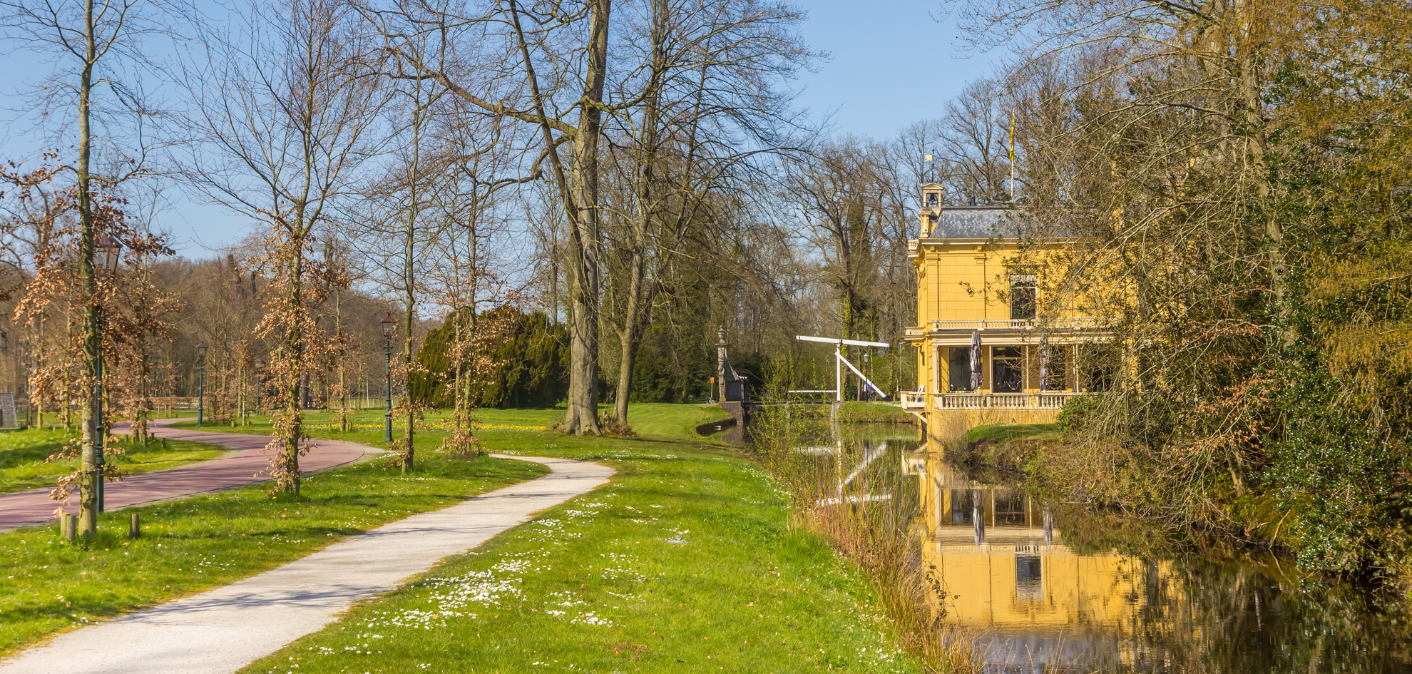
This is a lowland borderland walk through the sandy, forest-and-heath landscapes where Drenthe and Friesland meet—expect long, level paths (around 21 km / 13.0 mi with roughly 0 m / 0 ft of climbing) linking small hamlets, a defended medieval border zone, and a modern recreation lake. Underfoot is typically a mix of compacted forest track, sandy footpaths, and short paved connectors near settlements; after rain, the lower woodland sections can hold water and feel soft.
Getting to the start (and what “near” usually means here)
Because “Hike head: near” is incomplete, the most practical start for this route name is the Een / Een-West area in Drenthe, close to Camping Ronostrand, Amerika 16, 9342 TC Een (a well-known landmark on the edge of the woods and lake). (ronostrand.nl)
- By car: Aim for the Ronostrand area (Amerika 16, Een) and use nearby public parking. Arrive early on warm days—this is a popular swimming spot. (ronostrand.nl)
- By public transport: The nearest rail hubs are typically Assen or Groningen; from there you’ll rely on regional buses toward the Norg/Een area and then a short walk. Before you go, check the day’s connections and plan the last-mile approach in HiiKER so you’re not guessing at rural bus stop locations.
If you share the exact start coordinates (lon/lat), I can pin it to the nearest named place/address precisely and adjust the access notes.
You’ll likely begin on the Drenthe side near Een/Een-West, then arc toward the Friesland–Drenthe border landscapes around Allardsoog (often described as a “three-province point” area) and return toward the village “centrum” (built-up area) via forest and heath edges. (frieslandwonderland.nl)
What you’ll see along the way (landscape, landmarks, and nature)
0–5 km / 0–3.1 mi: Woodland edges and quiet lanes
The first section is typically easy-going: straight forest tracks and sandy paths through mixed woodland. In this region, the ground is shaped by ice-age processes—glacial deposits and sandy ridges are common in Drenthe and adjacent Friesland, which is why you get these dry, piney woods next to wetter pockets. (provincie.drenthe.nl)
Look out for:
- Soft verges and puddled hollows after wet weather (even with “0 m gain,” drainage can be the real challenge).
- Cyclists on shared tracks—keep right on wider paths.
5–11 km / 3.1–6.8 mi: Allardsoog and the border defenses
As you approach Allardsoog, the walk becomes more “open”—heath patches, sandier stretches, and clearer views through the trees. This area is known for the Landweer Allardsoog, a late-medieval defensive earthwork with ditches, built to control movement and deter raids across the provincial border. It’s also recognized as a protected monument and is frequently highlighted on regional walking routes. (friesland.nl)
What to look out for here:
- Subtle earthworks: the Landweer can be easy to miss if you’re not watching for low banks and parallel ditches.
- Sandy footing: short sections can feel loose; gaiters help if you dislike sand in shoes.
11–15 km / 6.8–9.3 mi: Ronostrand (water, beach, and busy summer energy)
Near Ronostrand, the character changes again: you’ll pass close to a swimming lake with sandy beach and recreation facilities. It can be tranquil off-season, but in warm weather expect families, swimmers, and

Surfaces
Asphalt
Sand
Unknown
Grass
Concrete
Paved
Ground
Comments and Reviews
User comments, reviews and discussions about the De Elleboog to Centrum via Allardsoog, Ronostrand and De Leemvallei, Netherlands.
average rating out of 5
0 rating(s)