Download
3D Flyover
Add to list
More
74.9 km
~3 days
13 m
Multi-Day
“A wind-swept, salt-bright coastal crossing from Harlingen to Den Helder—flat, fierce, and quietly epic.”
This is a long, flat, wind-exposed coastal crossing that links two very different maritime towns: Harlingen on the Wadden Sea coast of Friesland, and Den Helder at the northern tip of North Holland. Expect roughly 75 km (47 mi) with essentially 0 m (0 ft) of climbing—your “elevation gain” comes almost entirely from ramps over dikes, bridges, and lock complexes rather than hills. The real difficulty is weather, wind, and logistics—especially around the Afsluitdijk.
Start location (nearest landmark/address): a practical start is Harlingen Haven station / ferry harbor area, near the quays and passenger terminals by Dokkade, 8862 NZ Harlingen. (friesevloot.nl)
Finish location (nearest landmark): central Den Helder is easiest to target around Den Helder railway station (Den Helder Centraal), then continue toward the waterfront streets and the naval/harbor district depending on where you want to end. (en.wikipedia.org)
Getting to the start (Harlingen) / leaving from the finish (Den Helder)
- By public transport to Harlingen: Harlingen is served by rail (including Harlingen and Harlingen Haven stations). A convenient “walk-out” start is from Harlingen Haven because it drops you right at the harbor edge. (en.wikipedia.org)
- By car to Harlingen: park in/around the harbor and station area (signed city parking). Starting near the harbor keeps the first kilometers simple and scenic.
- From Den Helder by public transport: Den Helder station is the northern terminus of the line toward Alkmaar/Amsterdam, so it’s straightforward to depart by train after the hike. (en.wikipedia.org)
Route character and what to expect underfoot
Most of this hike is on paved surfaces: harbor promenades, village streets, dike-top paths, and long straight sections beside major roads. Footing is easy, but the monotony and exposure can be surprisingly taxing. Plan for: - Constant wind (often strong and sustained), with little shelter on dikes and across the Afsluitdijk. - Sun exposure (even on cool days, glare off water is intense). - Limited services on the Afsluitdijk itself—treat it like a “mini-expedition” segment: water, snacks, layers, and a windproof shell.
Use HiiKER to keep your line clean through towns and to confirm where pedestrian access is permitted/comfortable, especially near lock complexes and roadworks.
Segment-by-segment (approximate distances)
0–6 km (0–3.7 mi): Harlingen harbor and sea-wall edges
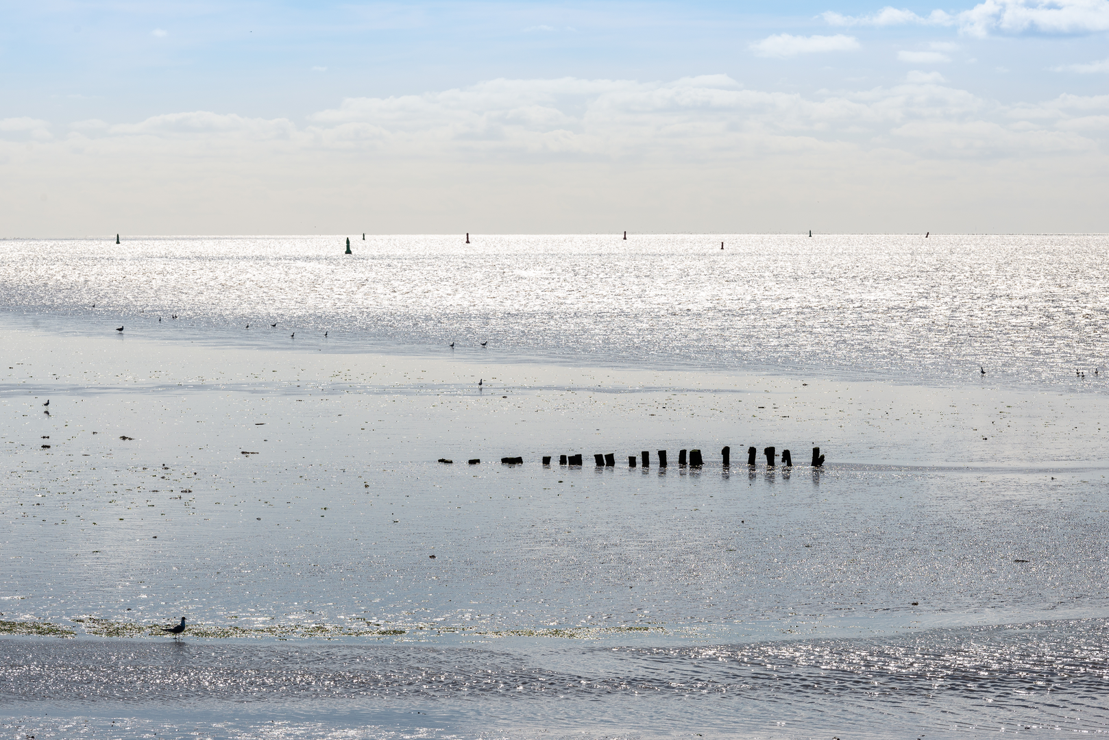
From the Harlingen Haven/harbor area (Dokkade), you’ll thread past working quays, small basins, and the town’s maritime frontage. Harlingen’s identity is tied to shipping and fishing, and you’ll feel that immediately: masts, warehouses, and the smell of salt air. This is also your first taste of the Wadden Sea coastal environment, a globally significant tidal landscape.
Wildlife is often visible even from town edges—look for gulls, terns, and waders riding the wind or working the shallows when the tide is out.
6–25 km (3.7–15.5 mi): Friesland dike country toward the Afsluitdijk approach
You transition into classic northern Dutch coastal scenery: straight lines, canals, grazing fields, and long dikes. Navigation

Surfaces
Asphalt
Unknown
Concrete
Paved
Unpaved
Gravel
Comments and Reviews
User comments, reviews and discussions about the Harlingen to Den Helder via Afsluitdijk and Karel Doormanweg, Netherlands.
average rating out of 5
0 rating(s)