Download
3D Flyover
Add to list
More
24.4 km
~4 hrs 53 min
0 m
Point-to-Point
“Meandering beside the Maas, this gentle trail blends river views, wildflowers, and Limburg’s timeless charm.”
Starting out near the village of Haelen, just south of Roermond in the Dutch province of Limburg, this riverside journey follows the Maas (Meuse) River for approximately 24 km (about 15 miles) with virtually no elevation gain, making it an accessible and leisurely route for most walkers. The trail finishes in the charming village of Grevenbicht, known for its riverside ambiance and traditional Limburg hospitality.
Getting There
Haelen is easily reached by public transport: take a train to Roermond, then transfer to a local bus (such as Arriva line 73 or 74) toward Haelen. If arriving by car, parking is available near the village center, close to landmarks like Kasteel Aldenghoor, a historic moated castle that’s worth a quick visit before you set off.
Riverside Scenery and Wildlife
The route closely follows the Maas, offering expansive views of the river’s slow-moving waters, grassy floodplains, and occasional sandbanks. The flat terrain is typical of the Limburg river landscape, with willow groves, poplar stands, and wildflower meadows lining the banks. Birdwatchers will appreciate the abundance of waterfowl—herons, cormorants, and grebes are common sights, especially in the quieter stretches. In spring and summer, look for butterflies and dragonflies flitting among the reeds.
Historical and Cultural Highlights
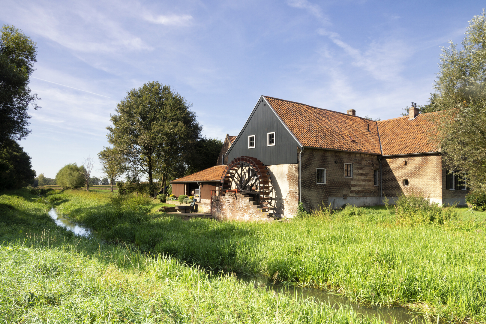
About 6 km (3.7 miles) into the walk, you’ll pass near the village of Buggenum, where the centuries-old Sint Aldegundiskerk church stands as a testament to the region’s deep-rooted Catholic heritage. Further along, the trail skirts the edge of Neer, a village with a picturesque windmill (St. Martinusmolen) and several traditional farmhouses. The Maas itself has long been a vital trade and transport artery, and you’ll notice remnants of old ferry crossings and riverside warehouses along the way.
Midway through the hike, the landscape opens up to reveal the Maasplassen, a network of lakes formed by gravel extraction. These lakes are now popular for boating and fishing, and their tranquil waters attract a variety of birdlife. The path here is especially peaceful, with benches and picnic spots offering opportunities to rest and take in the scenery.
Approaching Grevenbicht
The final stretch leads you through open fields and small patches of woodland before entering Grevenbicht. This village is known for its annual “Sjtasiefestasie” parade and its welcoming riverside cafés. The historic Sint Catharinakerk church, with its distinctive tower, is a local landmark. Grevenbicht is served by local buses connecting to Sittard and Roermond, making your return journey straightforward.
Trail Navigation and Preparation
The entire route is well-marked, but carrying a digital map on HiiKER is recommended for real-time navigation and to locate amenities along the way. The flat, surfaced paths are suitable for all fitness levels and can be walked year-round, though waterproof footwear is advisable in wetter months due to occasional muddy patches near the riverbanks. Bring water and snacks, as shops are limited between villages.
This riverside walk offers a gentle introduction to the landscapes and history of Limburg, with plenty of opportunities to enjoy nature, local culture, and the timeless flow of the Maas.

Surfaces
Unknown
Asphalt
Ground
Concrete
Unpaved
Gravel
Dirt
Grass
Sand
Paved
Comments and Reviews
User comments, reviews and discussions about the Haier to Grevenbicht via Maas, Netherlands.
average rating out of 5
0 rating(s)