Download
3D Flyover
Add to list
More
13.3 km
~2 hrs 39 min
0 m
Loop
“Meandering from Haarlem’s historic heart to shimmering lakes and lush meadows, this trail brims with Dutch charm.”
Starting from the scenic banks near the Spaarne River in Haarlem, this 13 km (about 8 miles) loop offers a flat, leisurely walk with virtually no elevation gain, making it accessible for hikers of all abilities. The trailhead is conveniently located close to Haarlem’s historic city center, just a short walk from Haarlem Centraal train station, which is well-served by trains from Amsterdam and other major Dutch cities. For those arriving by car, parking is available at the nearby De Kamp parking garage, a few minutes’ walk from the river.
Route Overview and Navigation
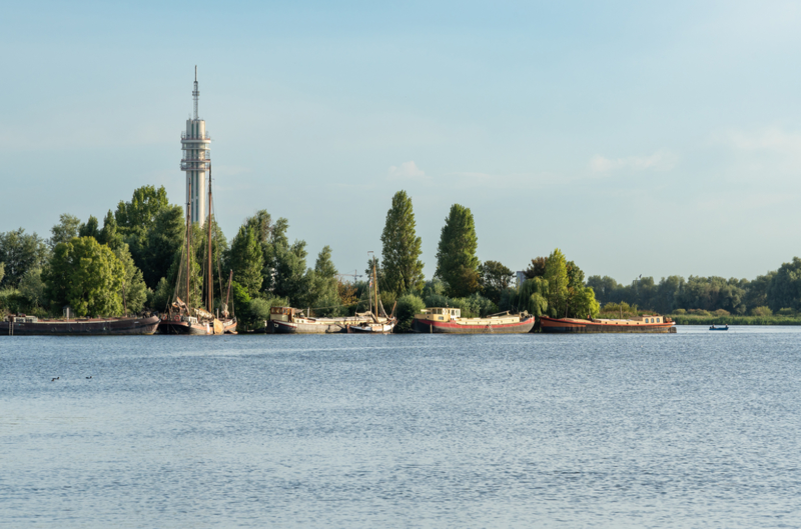
The loop follows the tranquil Binnen Spaarne waterway northwards, passing under the graceful Melkbrug and alongside centuries-old canal houses. The route then skirts the edge of the expansive Mooie Nel lake, a popular spot for sailing and birdwatching. Hikers can expect to see a variety of waterfowl, including herons, grebes, and swans, especially in spring and early summer. The path continues through the lush meadows and reed beds of the Binnenliede, a quiet rural area dotted with traditional Dutch windmills and grazing cattle. Navigation is straightforward, with well-marked paths and signage, but for added confidence and real-time updates, the HiiKER app provides detailed mapping and waypoint information for the entire loop.
Landmarks and Points of Interest
- Haarlem’s Historic Waterfront (0–2 km / 0–1.2 miles): The first section offers views of Haarlem’s iconic skyline, including the Grote Kerk (St. Bavo’s Church) and the Teylers Museum, the oldest museum in the Netherlands.
- Mooie Nel Lake (4–7 km / 2.5–4.3 miles): This wide, open water is fringed by nature reserves. Look for the small marina and the picturesque Spaarndam village across the water, famous for its historic locks and the Hans Brinker statue.
- Binnenliede Meadows (8–11 km / 5–6.8 miles): The trail meanders through peaceful farmland, with opportunities to spot hares, storks, and the occasional roe deer. The area is crisscrossed by ancient dikes and drainage canals, a testament to centuries of Dutch water management.
Historical and Cultural Significance
The region around Haarlem and the Spaarne River has been inhabited since medieval times, serving as a vital trade route between Amsterdam and the North Sea. The windmills and dikes along the Binnenliede are part of the UNESCO-listed Dutch Water Defense Lines, reflecting the country’s long battle with the sea. The Mooie Nel, once a peat bog, was transformed into a lake during the 17th-century land reclamation projects that shaped much of North Holland’s landscape.
Practical Information
The entire loop is paved or on well-maintained gravel paths, suitable for walking year-round. There are several cafes and rest stops in Haarlem and along the Mooie Nel, but fewer options in the rural sections, so carrying water and snacks is recommended. Public toilets are available at Haarlem Centraal and at some lakeside marinas. Dogs are welcome on most sections but should be kept on a leash near livestock and in nature reserves.
For those planning their route, HiiKER offers downloadable maps and offline navigation, ensuring you stay on track even in the quieter stretches. The flat terrain and proximity to Haarlem make this loop ideal for families, casual walkers, and anyone interested in Dutch history and landscapes.

Surfaces
Asphalt
Unknown
Cobblestone
Unpaved
Paved
Comments and Reviews
User comments, reviews and discussions about the Binnen Spaarne, Mooie Nel and Binnenliede Loop, Netherlands.
average rating out of 5
0 rating(s)