Download
Preview
Add to list
More
11.1 km
~2 hrs 13 min
0 m
Loop
“Wander through enchanting forests and ancient stones, where history, nature, and panoramic views intertwine.”
The Langenberg Weg, Steenhaar Weg, and Stendermolen Weg form a scenic hiking route of approximately 11 kilometers (6.8 miles) with minimal elevation gain, making it accessible for hikers of all levels. This loop trail begins and ends in the charming village of Bruchhausen, nestled in the Sauerland region of North Rhine-Westphalia, Germany.
Getting There
Bruchhausen is conveniently accessible by both car and public transportation. For those driving, take the A44 motorway, exit at Bad Wünnenberg, and follow the B480 through Brilon to Olsberg. From Olsberg, follow signs to Bruchhausen or the Bruchhauser Steine. Parking is available in the village center near the church. If traveling by public transport, the R31 bus line connects Brilon and Olsberg to Bruchhausen. (sauerland-wanderdoerfer.de)
Trail Overview
Starting from the hiking board in the center of Bruchhausen, the trail is well-marked with the signpost B3. The route leads south through the European gold village of Bruchhausen, offering a unique view of the Bruchhauser Steine natural monument—four impressive rock formations from the Ice Age. The path ascends gently to the "Ochsenkreuz," where a refuge invites hikers to take a break. Continuing past the mountain station of the Sternrodt ski lift, the trail reaches Burbecke Platz. From here, it follows the Rothaarsteig, marked with a "lying" R on a red background, to the Langenberg summit, the highest point in North Rhine-Westphalia at 843 meters (2,766 feet). A cross marks this special place, and a set of seats invites you to rest. You can immortalize your tour in a summit book attached to the foot of the cross. The return journey follows the border between North Rhine-Westphalia and Hessen, marked by old boundary stones, passing the Richtplatz, a medieval court site, before descending back to Bruchhausen. (sauerland-wanderdoerfer.de)
Landmarks and Points of Interest
Bruchhauser Steine: These four towering rock formations are a national natural monument and offer a glimpse into the region's geological history.
Langenberg Summit: At 843 meters (2,766 feet), Langenberg is the highest peak in North Rhine-Westphalia, offering panoramic views of the surrounding landscape.
Sternrodt Ski Lift: A popular spot for winter sports, the ski lift area provides a different perspective of the region's topography.
Richtplatz: This medieval court site offers a historical insight into the region's past judicial practices.
Nature and Wildlife
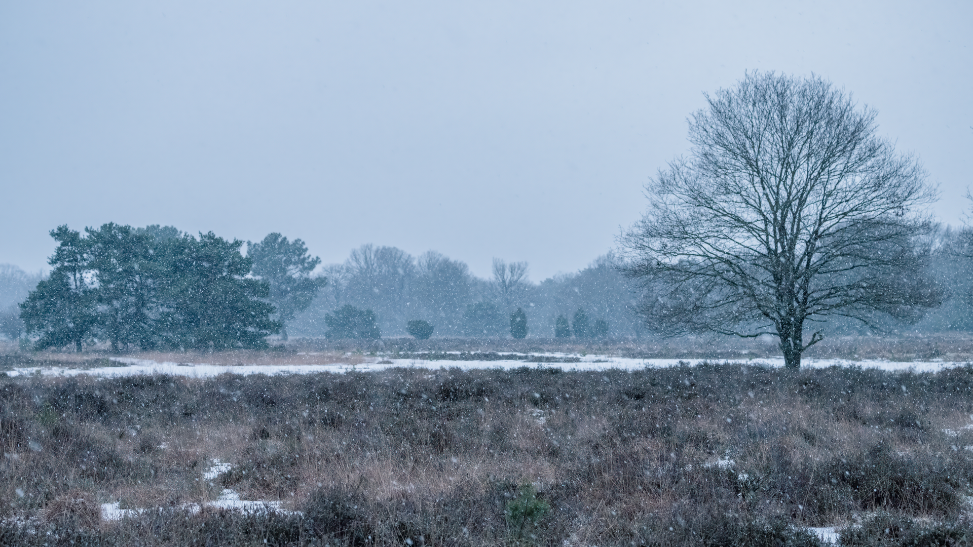
The trail traverses diverse landscapes, including dense forests, open meadows, and rocky outcrops. Hikers can expect to encounter a variety of flora, such as beech and spruce trees, and fauna, including deer, foxes, and numerous bird species. The region's rich biodiversity adds to the hike's appeal.
Historical Significance
Bruchhausen and its surroundings are steeped in history. The Bruchhauser Steine have been a site of human activity since the Mesolithic period, with archaeological findings indicating their use as a place of worship and refuge. The Richtplatz serves as a reminder of the region's medieval judicial practices, where local disputes were settled.
Preparation Tips
Footwear: Sturdy hiking boots are recommended due to uneven terrain.
Water: Carry a filled water bottle, as there are limited facilities along the route.
Navigation: While the trail is well-marked, using a navigation tool like HiiKER can enhance your hiking experience.
Mobile Reception: Be aware that cell phone reception may be inconsistent in certain areas.
Embarking on this hike offers a blend of natural beauty, historical landmarks, and a touch of adventure, making it a memorable experience for all who traverse its path.

Surfaces
Unknown
Sand
Dirt
Asphalt
Unpaved
Wood
Ground
Comments and Reviews
User comments, reviews and discussions about the Langenberg Weg, Steenhaar Weg and Stendermolen Weg, Netherlands.
average rating out of 5
0 rating(s)