Download
3D Flyover
Add to list
More
9.2 km
~1 hrs 50 min
0 m
Loop
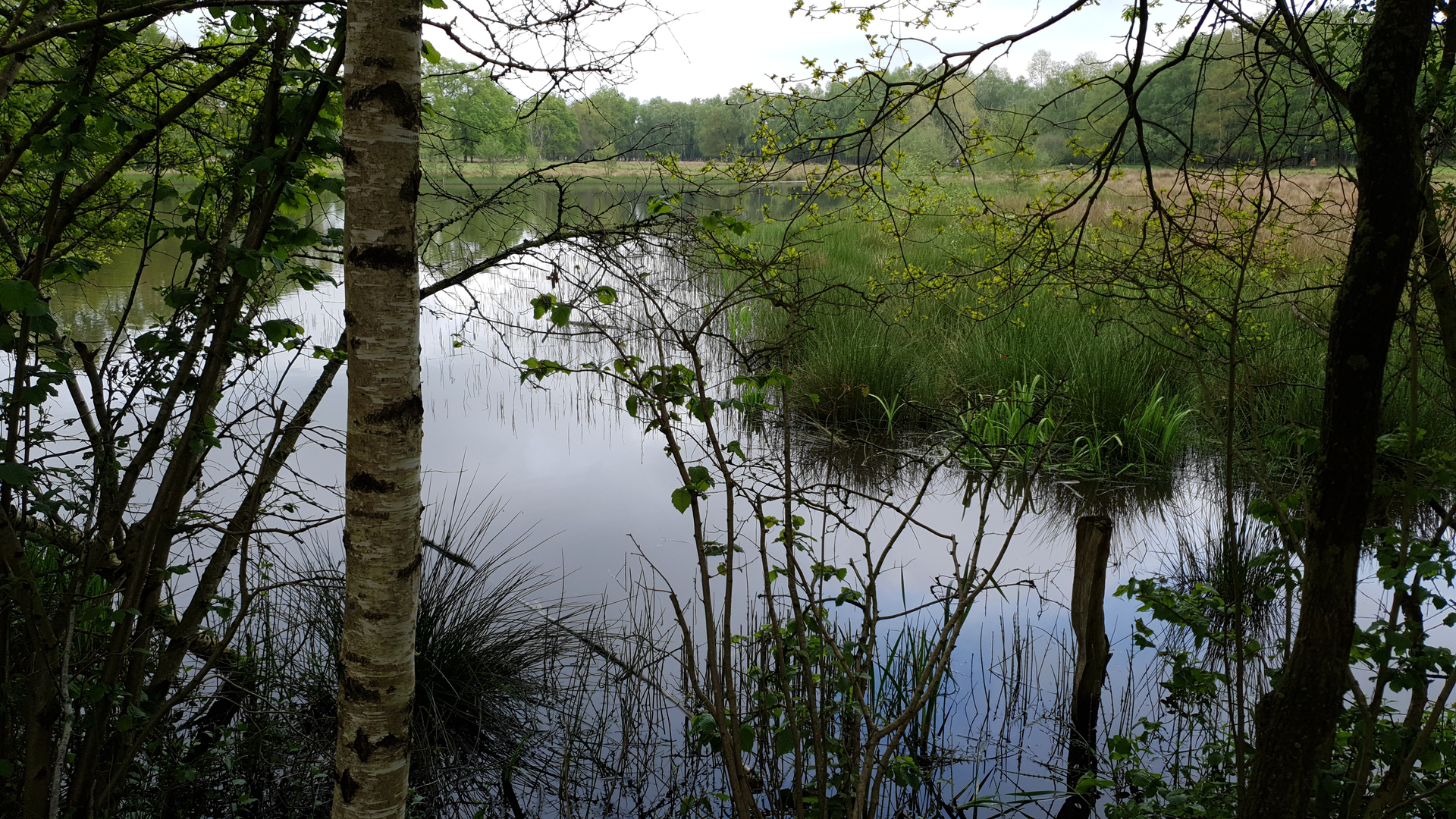
“A gently flat loop awaits—share the start point, and I’ll paint the route’s story.”
I’m missing a few key pieces of information needed to give you a reliable, plan-ready description (and to convert the start lon/lat to a nearby landmark/address).
Please send either: 1) the start coordinates (lon/lat) (and, if you have them, GPX/route link), or 2) the country/region + nearest town/park where “De Braam and Witte Veen Loop” starts.
Also, if you know any of these, include them (optional): - Hike head / trailhead name (you wrote “near” but it’s blank) - Hike type (loop/out-and-back; you listed it blank, though “Loop” suggests loop) - Any map image you want me to use for context
Once I have the start location, I’ll provide: - how to get there by car and public transport - a step-by-step route description for ~9 km / 5.6 mi with ~0 m / 0 ft gain - what to expect under at least one mid-route sub-heading (terrain, surfaces, seasonal conditions) - notable landmarks, habitats, likely wildlife, and any historical context - navigation notes referencing HiiKER only

Surfaces
Asphalt
Unknown
Dirt
Ground
Sand
Wood
Grass
Comments and Reviews
User comments, reviews and discussions about the De Braam and Witte Veen Loop, Netherlands.
average rating out of 5
0 rating(s)