Download
3D Flyover
Add to list
More
7.7 km
~1 hrs 31 min
0 m
Loop
“Wander through vibrant meadows, historic maple groves, and tranquil waterways on this richly layered trail.”
Embarking on the Kardinge trail via Stadsweg, Kinderrechtenpad, and Elema's Pad offers an approximately 8-kilometer (5-mile) journey through the diverse landscapes of the Kardinge nature reserve near Groningen, Netherlands. With virtually no elevation gain, this easy loop is ideal for hikers of all levels.
Getting to the Trailhead
The trail begins near Kardingerplein 1, 9735 AE Groningen. For those using public transportation, the P+R Kardinge bus stop is conveniently located just a minute's walk from the starting point. Bus lines 3, 4, 61, 65, and 107 serve this stop. Alternatively, the Groningen Europapark train station is approximately an 11-minute walk away. If arriving by car, parking is available at the Kardinge recreation area.
Trail Overview
Starting from Kardingerplein, the route follows Stadsweg, leading you into the heart of the Kardinge nature reserve. This area is characterized by a mix of meadows, forests, and wetlands, providing a rich tapestry of natural beauty.
Bevrijdingsbos and the 'Maple Leaf' Path
Early in the hike, you'll encounter the Bevrijdingsbos (Liberation Forest), a significant site planted to honor Canadian veterans who aided in the liberation of the Netherlands during World War II. The forest comprises 30,000 maple trees, symbolizing the Canadian national emblem. Walking along the 'Maple Leaf' path, you'll catch glimpses of the historic Stefanuskerk church in the nearby village of Noorddijk. (visitgroningen.nl)
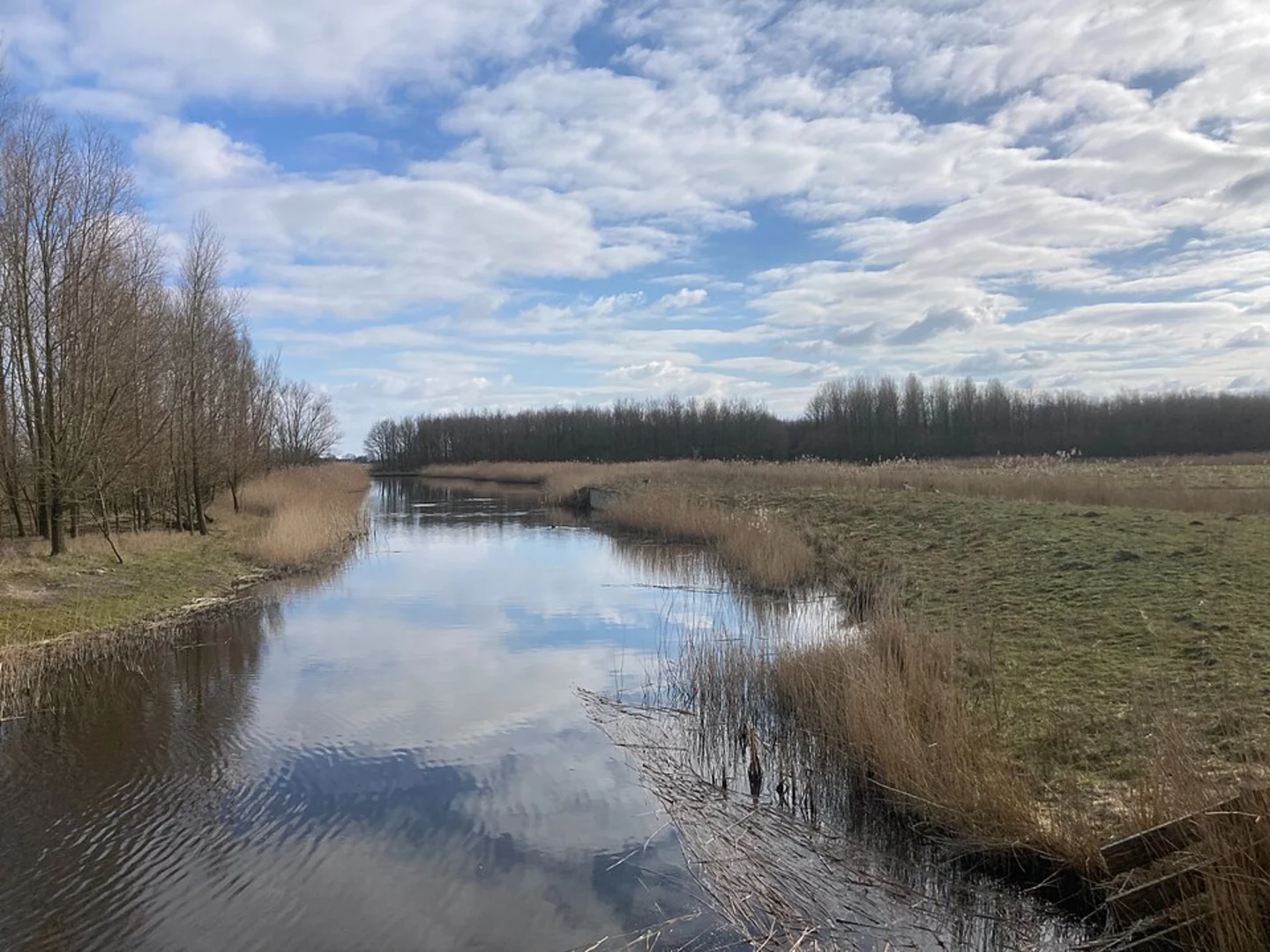
Elema's Pad and the Noordermolen
Continuing onto Elema's Pad, the trail meanders alongside waterways, leading you to the Noordermolen. Built in 1805, this polder mill is one of the oldest surviving in the province of Groningen. Nearby, the Hoogholtje bridge over the Zuidwending canal offers a picturesque spot, surrounded by lush greenery and the gentle sounds of flowing water. (visitgroningen.nl)
Flora and Fauna
The Kardinge area boasts a diverse ecosystem. As you traverse the trail, listen for the songs of various bird species, including meadow birds, songbirds, and even the occasional kingfisher or barn owl. Early morning hikers might also spot roe deer grazing in the meadows. (visitgroningen.nl)
Facilities and Amenities
Midway through the hike, consider stopping at Rietland, a local eatery known for its fresh regional dishes. This provides a pleasant break before continuing the remaining kilometers of the trail. The route also passes through the Beijum-Oost district, Groningen's greenest neighborhood, where street names reflect the region's agricultural heritage. (visitgroningen.nl)
Navigation
For detailed maps and real-time navigation, consider using HiiKER, which offers comprehensive trail information and user-friendly features to enhance your hiking experience.
This hike offers a harmonious blend of natural beauty, historical landmarks, and cultural insights, making it a rewarding experience for those seeking a leisurely exploration near Groningen.

Surfaces
Asphalt
Unknown
Concrete
Wood
Comments and Reviews
User comments, reviews and discussions about the Kardinge via Stads Weg, Kinderrechtenpad, Elema's Pad, Netherlands.
average rating out of 5
0 rating(s)