Download
3D Flyover
Add to list
More
32.5 km
~6 hrs 31 min
8 m
Multi-Day
“From Garnwerd’s Reitdiep, this flat clay-loop drifts through wierden villages and wind-swept bird skies.”
A good, practical place to start (and finish) this loop is by the Reitdiep in Garnwerd, where you’ll find easy parking and a clear landmark: Garnwerd aan Zee, Hunzeweg 38a, 9893 PD Garnwerd (Groningen, NL). (visitgroningen.nl)
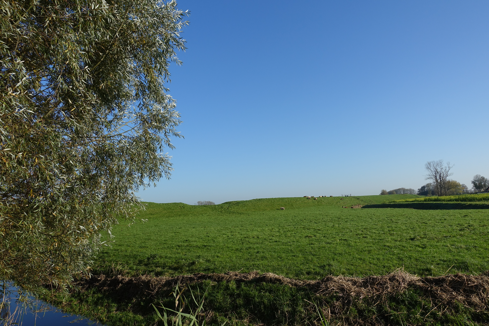
From here you’re immediately in the wide-open Middag-Humsterland clay landscape: ruler-flat horizons, long straight ditches, raised farm tracks, and villages perched on ancient dwelling mounds (wierden). With ~33 km / 20.5 mi and essentially 0 m / 0 ft of climbing, the challenge is less about elevation and more about wind, exposure, and distance on hard surfaces.
Getting to the start (car + public transport)
- By car: Navigate to Hunzeweg 38a, 9893 PD Garnwerd (Garnwerd aan Zee). It’s a well-known local destination right on the water, so it’s straightforward to find. (visitgroningen.nl)
- By public transport (from Groningen city): A common approach is train from Groningen toward Roodeschool, get off at Winsum, then continue by bus (line 36 toward Oldehove) and alight at Garnwerd (Krassumerstraat stop), then walk into the village to the Reitdiep. (en.eet.nu)
(Always double-check same-day timetables and any service changes before you go.)
You’ll want to load the route in HiiKER before setting off; in this landscape, paths can look deceptively similar, and small turns onto dike tops or farm lanes are easy to miss when the wind is up.
You’ll typically be walking on a mix of paved village streets, narrow dike roads, and farm tracks. After rain, some unpaved sections can be slick with clay; in dry spells, the same surfaces can be dusty and hard underfoot.
What the walk feels like (and how the 33 km tends to break down)
0–6 km / 0–3.7 mi: Garnwerd and the Reitdiep edge
Leaving the start area, you settle into the rhythm of canal-side and dike walking. The Reitdiep corridor is classic Groningen: water, reeds, and long views to church towers. Early on, it’s worth setting a steady pace—33 km is forgiving on paper, but the flatness can tempt you to start too fast.
6–14 km / 3.7–8.7 mi: Toward Feerwerd—wierden country
As you approach Feerwerd, the landscape subtly “lifts” where the village sits on a wierde (a man-made dwelling mound built up over centuries to stay above floods). Feerwerd is specifically known as a village built on multiple wierden, and the area is part of a protected village landscape—so you’ll notice a compact historic core and the sense of an older settlement pattern. (en.wikipedia.org)
A key landmark here is the Jacobuskerk (St. James’ Church), with origins in the early 13th century (though altered later). Even if you don’t go inside, it’s a strong navigational and cultural anchor in an otherwise open polder. (en.wikipedia.org)
14–24 km / 8.7–14.9 mi: Medenertilsterpolder—big skies and meadow birds
This middle portion is where the route earns its character: long, straight lines of ditches and fields, and a feeling of walking through a working agricultural ecosystem. The Medenertilsterpolder sits in the Middag-Humsterland area between Aduard and Ezinge, and it’s managed with a strong focus on meadow birds (weidevogels). (provinciegroningen.nl)
Depending on season, you may see or hear species such as black-tailed godwit (grutto), lapwing (kievit), oystercatcher (scholekster), and redshank (tureluur)—the polder is explicitly described as valuable habitat for these birds.

Surfaces
Asphalt
Concrete
Unknown
Paved
Comments and Reviews
User comments, reviews and discussions about the Garnwerd, Feerwerd and Medenertilsterpolder Loop, Netherlands.
average rating out of 5
0 rating(s)