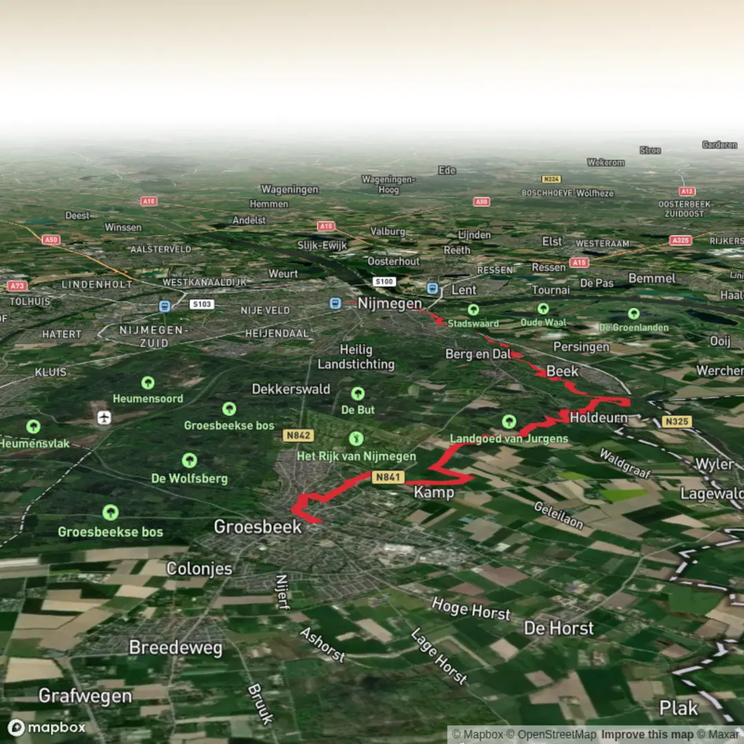
Grenzland Draisine to Centraal Station via Landgoed Nederrijk Vossenberg and Boterberg
Download
3D Flyover
Add to list
More
17.2 km
~3 hrs 45 min
191 m
Point-to-Point
“Glide old rail lines into estate woods and breezy fields, with a few cheeky climbs.”
This is a mostly lowland walk with a few short, punchy rises that add up to roughly 17 km (10.6 mi) and about 200 m (656 ft) of total ascent. Expect a mix of rail-trail style pathing, estate woodland, and open farmland edges, finishing in a built-up area near a major station. Underfoot is typically firm—compacted gravel, paved cycleway sections, and woodland tracks that can turn slick after rain.
Getting to the start (public transport + car)
Because the start point is listed only as “near” (with no town name or coordinates), the best practical approach is to anchor your arrival to the Grenzland Draisine access point closest to your intended route segment. The Grenzland Draisine corridor is associated with the former cross-border rail alignment in the Dutch–German border region, and access points are usually signed and paired with small parking areas.
- By public transport: Aim for the nearest regional rail station to the Draisine access point you choose, then connect by local bus or a short taxi ride. In this region, buses can be infrequent outside peak hours—check the day-of-week timetable and plan a buffer.
- By car: Navigate to the signed Draisine trailhead/parking for the segment you’re using. Parking is typically small and can fill on weekends; arriving earlier helps.
If you share the start lon/lat (or even the nearest village name), I can convert it to the nearest known address or landmark and tailor the transport directions precisely.
What the route feels like (pace, surfaces, effort)
With an “Easy” rating and modest total ascent, most hikers will find this comfortable at a steady pace. The 200 m (656 ft) of gain is likely accumulated in short undulations—small hills, embankments, and a couple of named rises (notably Vossenberg and Boterberg).
- Typical time: ~3.5–5 hours depending on stops and how urban the final approach becomes.
- Footwear: Trail runners or light hiking boots are fine in dry conditions; after rain, woodland sections around estate land can get muddy and leaf-slick.
- Wind exposure: Open agricultural stretches can feel colder than expected; bring a wind layer even on mild days.
Along the Grenzland Draisine corridor
Early on, you’ll likely be following a long, straight alignment that hints at its rail heritage: gentle gradients, broad curves, and a corridor-like feel. These former rail lines are often wildlife “highways,” with hedgerows and scrub providing cover.
Look out for: - Old rail infrastructure cues: embankments, cuttings, bridge abutments, and unusually straight sightlines. - Edge habitat: brambles, hawthorn, and mixed hedgerow—excellent for small birds and pollinators in season.
Wildlife you may notice (season-dependent): - Roe deer at field edges in quieter hours. - Buzzards and kestrels hunting over open ground. - Woodpeckers and songbirds in the more wooded estate sections.
Landgoed Nederrijk and the Vossenberg rise
As you transition toward Landgoed Nederrijk, the character typically shifts from open corridor to a more managed landscape: estate woodland, lanes, and a tidier understory. “Landgoed” areas often have a long history of managed forestry and hunting rights, and you’ll feel that in the straight rides, boundary ditches, and occasional formal plantings.
The climb toward Vossenberg is usually not long, but it’s one of the places you’ll actually register the elevation gain. Expect: - A short ascent on woodland track or firm path - A slightly more enclosed feel under canopy - Occasional sandy patches if the soils are light
Practical notes: - Ticks: In warmer months, estate woodland and long grass edges can carry ticks. Long socks and a quick check after the walk are sensible. - Shared-use paths: Estate lanes may be used by cyclists and local traffic—stay alert on bends.
Boterberg and the most “hilly” moments
The Boterberg section tends to be another small high point rather than a mountain-like climb. The ascent is usually steady enough that you can keep a conversational pace, but it may be the point where the route briefly feels more “hike-like” than “walk-like,” especially if the track is damp.
What to watch for here: - Slippery leaf litter on shaded descents - Rutted sections where water has run down the track - Short, steeper pitches that can be surprisingly slick in winter
If you’re tracking progress, a useful mental split is: - First ~6–8 km (3.7–5.0 mi): rail-corridor / easy cruising - Middle ~6–7 km (3.7–4.3 mi): estate + Vossenberg/Boterberg undulations (most of the day’s ascent) - Final ~2–5 km (1.2–3.1 mi): more settlement edges and the approach to the station
Approaching Centraal Station (urban finish and navigation)
As you near Centraal Station, expect a gradual increase in signage, paved surfaces, and crossings. The last kilometers can involve: - Cycle lanes and shared paths (be predictable and keep right where customary) - Multiple junctions where it’s easy to drift off-route - Road crossings that slow your pace more than the terrain does
For navigation, load the route in HiiKER and pay extra attention to: - The transition points

Surfaces
Unknown
Unpaved
Dirt
Asphalt
Sand
Gravel
Cobblestone
Concrete
Comments and Reviews
User comments, reviews and discussions about the Grenzland Draisine to Centraal Station via Landgoed Nederrijk Vossenberg and Boterberg, Netherlands.
average rating out of 5
0 rating(s)