Download
3D Flyover
Add to list
More
18.3 km
~3 hrs 39 min
0 m
Point-to-Point
“Wander from Goedereede to Herkingen through blossoming dikes, shimmering waterways, and serene Dutch polder beauty.”
Starting from the charming town of Goedereede, this 18 km (about 11.2 miles) route to Herkingen is a flat, easy walk that winds through the tranquil landscapes of South Holland’s Goeree-Overflakkee island. With virtually no elevation gain, this trail is accessible to most walkers and is ideal for those seeking a leisurely day out immersed in Dutch polder scenery, dikes, and birdlife.
Getting There
Goedereede is accessible by public transport from Rotterdam and other major cities. Take a train to Rotterdam Centraal, then transfer to bus 436 or 437 towards Ouddorp, alighting at Goedereede, Kerkplein, which is just a short walk from the trailhead. For those arriving by car, parking is available near the historic center of Goedereede, close to the Goedereede Tower (Toren van Goedereede), a prominent local landmark.
Setting Out from Goedereede
The trail begins near the Goedereede Tower, a 15th-century church tower that once served as a lighthouse. As you leave the cobbled streets of Goedereede, you’ll quickly find yourself surrounded by the open, windswept fields and waterways characteristic of the region. The route follows the Zuideedijk, a classic Dutch dike that offers wide views over the polders and the Haringvliet estuary.
Zuideedijk: Dikes and Waterways
For the first 7 km (about 4.3 miles), the path hugs the Zuideedijk, a vital flood defense structure that has protected the island for centuries. The dike is lined with wildflowers in spring and summer, and you’ll likely spot grazing sheep and a variety of waterfowl, including greylag geese and lapwings. The landscape here is shaped by centuries of land reclamation, with straight canals and geometric fields stretching to the horizon.
Maanezeese Gorsdijk and Nature Reserves
After passing the hamlet of Stellendam, the route transitions onto the Maanezeese Gorsdijk. This section, roughly 6 km (3.7 miles), skirts the edge of the Slikken van Flakkee nature reserve, a haven for birdwatchers. Marsh harriers, spoonbills, and even the occasional sea eagle can be seen here, especially in spring and autumn. The reserve’s tidal flats and salt marshes are remnants of the island’s pre-reclamation landscape, offering a glimpse into the region’s natural history.
Approaching Herkingen
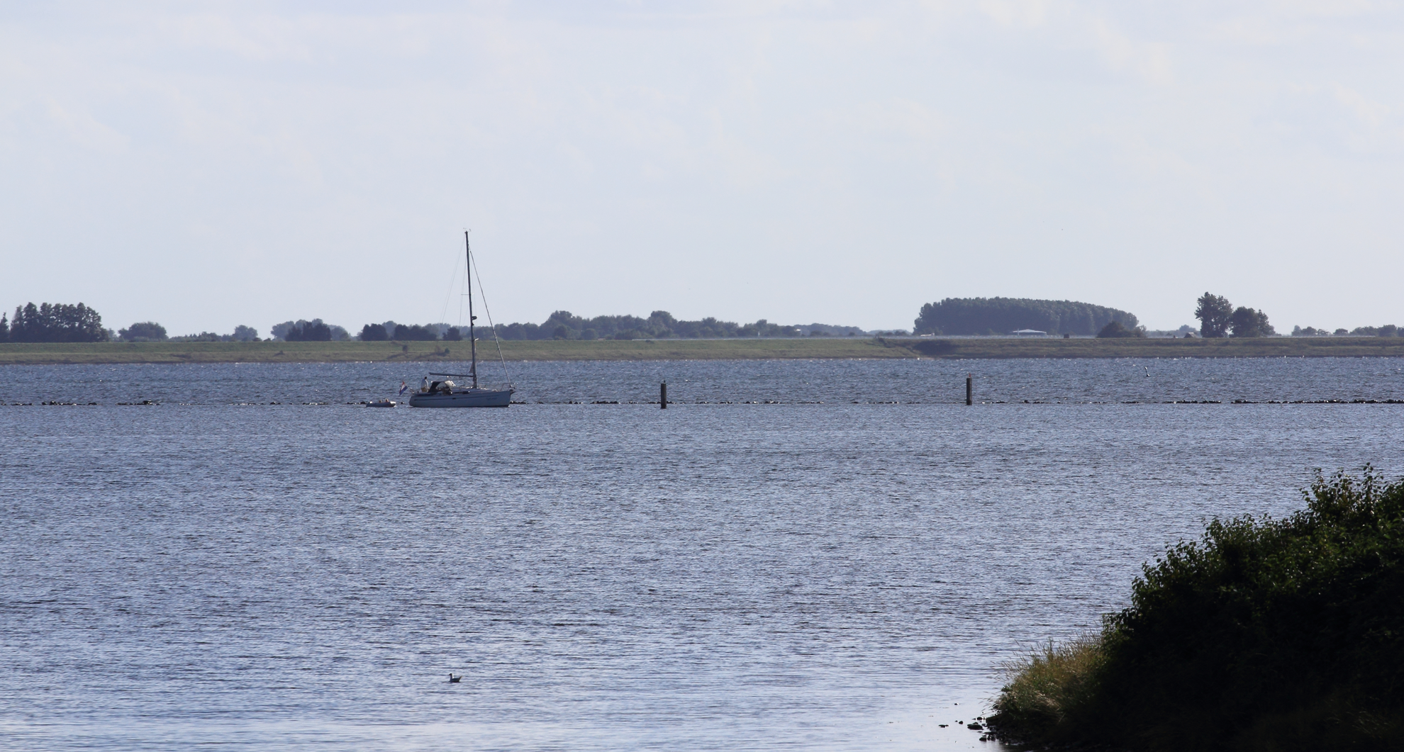
The final stretch leads you along quiet country roads and dikes toward Herkingen, a small village on the Grevelingenmeer. The marina here is a popular spot for sailing, and the village itself is known for its peaceful atmosphere and traditional Dutch architecture. The walk ends near the Herkingen Marina, where you can catch a bus back to Middelharnis or continue exploring the Grevelingenmeer shoreline.
Navigation and Safety
The entire route is well-marked, but it’s advisable to use HiiKER for up-to-date trail maps and navigation, especially as some sections may be exposed to wind and weather. There are few facilities along the way, so bring sufficient water and snacks. Public toilets and cafés are available at both Goedereede and Herkingen.
Historical and Cultural Notes
Goeree-Overflakkee has a rich history of land reclamation and water management, with dikes and polders dating back to the Middle Ages. The Goedereede Tower is a testament to the town’s maritime past, while the dikes themselves are living monuments to Dutch ingenuity in the face of the sea. The Slikken van Flakkee nature reserve preserves a fragment of the island’s original tidal landscape, offering a unique blend of natural and cultural heritage along the route.

Surfaces
Grass
Asphalt
Unknown
Comments and Reviews
User comments, reviews and discussions about the Goedereede to Herkingen via Zuideedijk and Maanezeese Gorsdijk, Netherlands.
average rating out of 5
0 rating(s)