Download
3D Flyover
Add to list
More
12.4 km
~2 hrs 28 min
0 m
Loop
“A wind-kissed, mostly level coastal loop where tides, saltmarsh colour, and shifting bird flocks steal the show.”
This is a flat, coastal loop of about 12 km / 7.5 mi with essentially 0 m / 0 ft of elevation gain, built around wide-open horizons, tidal landscapes, and classic Wadden-island ecology. Expect a mix of firm dike-top walking, sandy or shell-strewn tracks, and sections that can feel exposed to wind—easy on the legs, but sometimes surprisingly “big” in weather.
Getting to the start (car + public transport)
Because Schiermonnikoog is largely car-restricted for visitors, most hikers approach it as a ferry + walk/bus outing.
- By car (to the ferry): Drive to Lauwersoog ferry terminal (Veerhaven Lauwersoog) on the mainland, park in the long-stay lots, then take the ferry across to Schiermonnikoog.
- By public transport: Trains and buses connect to Lauwersoog (typically via Groningen/Dokkum region connections), then the ferry to the island. On arrival, you can usually continue by island bus toward the village area, or simply walk from the harbor depending on where your loop begins.
- Nearest “known place” for the hike hub: Most routes with this naming convention are associated with Nationaal Park Schiermonnikoog and the village-side access around Middenstreek (9166 LK, Schiermonnikoog), a common starting corridor for national-park walks. (visitwadden.nl)
If you’re loading the route in HiiKER, confirm the exact trailhead pin and match it to a recognizable on-island landmark (village center stops, dike access points, or signed park entrances) before you set off—small shifts in start point can change whether you meet sand first or dike first.
What the walking feels like (surface, exposure, pacing)
With near-zero climbing, the main “difficulty” variables are: - Wind exposure: Dikes and open saltmarsh/polder edges can be breezy year-round; windchill is real even on mild days. - Underfoot changes: You may alternate between paved or compacted dike paths and looser sand where tracks approach dunes or tidal flats. After rain, some low sections can be damp. - Navigation simplicity: The island is generally well signed on popular corridors, but fog, strong wind, or featureless open ground can make junctions feel similar—keep HiiKER handy for quick confirmation.
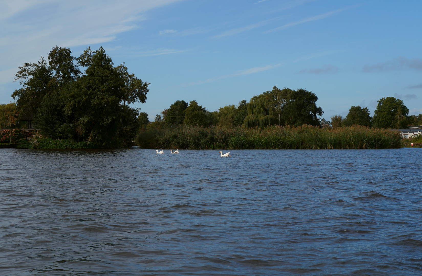
Hoogwaterzone: tides, saltmarsh, and “high-water refuge” birdlife
“Hoogwaterzone” points to the high-tide influence zone—areas that either flood, sit close to tidal channels, or function as high-water refuges where birds gather when the tide pushes them off feeding flats. On Schiermonnikoog, tides shape daily movement patterns: mudflats feed birds at low water; at high water they shift to safer resting places such as saltmarshes, banks, and areas behind dikes. (vvvschiermonnikoog.nl)
What to look for:
- Saltmarsh plants (kwelder vegetation): In season, you’ll notice low, hardy plants adapted to brackish conditions; in parts of the Wadden landscape, samphire (zeekraal) is a signature species and can color dramatically later in the year. (visitwadden.nl)
- Bird concentrations: Schiermonnikoog is known as a major stopover with hundreds of bird species recorded across migration seasons; you’ll often see mixed flocks shifting with the tide cycle. (wandel.nl)
- Quiet-zone etiquette: Many saltmarsh and dune-edge areas are sensitive—stay on the established path where signed, especially during breeding season.
Molengat section: water channels, edges, and changing shorelines
“Molengat” in Dutch place-naming often refers to a channel/gut—a waterway that can be tidal or drainage-related depending on location. On a Wadden island, that typically means you

Surfaces
Asphalt
Unknown
Wood
Grass
Comments and Reviews
User comments, reviews and discussions about the Hoogwaterzone and Molengat Loop, Netherlands.
average rating out of 5
0 rating(s)