Download
3D Flyover
Add to list
More
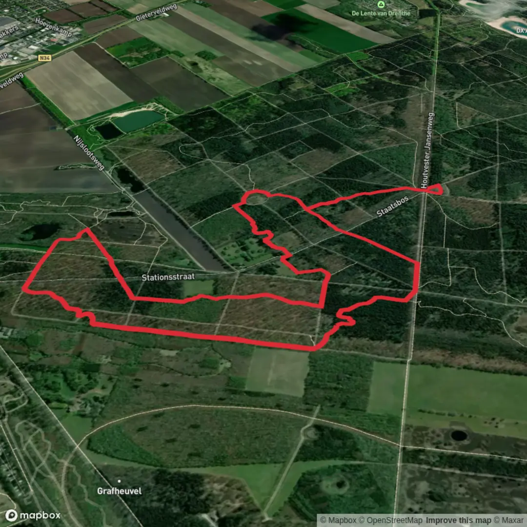
6.4 km
~1 hrs 17 min
0 m
Loop
“Drift along Drenthe’s wide-sky fields and reed-fringed waters on a gentle, mostly level loop.”
A gentle, mostly level loop of about 6 km (3.7 mi) with roughly 0 m (0 ft) of climbing, this walk is ideal for an easy half-day outing through classic Drenthe countryside: open fields, drainage ditches, small woodland edges, and the quiet, wide-sky feel that makes this part of the Netherlands so distinctive. Expect easy footing, big views, and a strong chance of seeing farmland birds and wetland wildlife around the “meer” (lake/pond) and low-lying meadows.
Getting to the start (car + public transport)
Because your start point is listed only as “near” (no coordinates provided), the most practical way to plan is to aim for a well-known access point between Gieten and the Gietenerveld area in Drenthe.
- By car: Set your destination to Gieten (Drenthe), Netherlands, then look for parking near the edge of town toward Gietenerveld (often signed locally). A reliable “anchor” landmark to navigate toward is Gieten village center (around the main shopping streets and church area), then continue outward to the rural lanes leading into the fields and nature parcels. Once you share a lon/lat (or a map pin), I can convert it to the nearest street address or named landmark and tighten this up.
- By public transport: The easiest approach is typically train to Assen (regional hub), then bus toward Gieten. From central Gieten, you can usually walk out to the countryside in minutes. Check the final bus stop location and use HiiKER to confirm the exact trailhead and the first turn so you don’t start on the wrong farm lane.
What the route feels like underfoot
With essentially no elevation change, the main “difficulty” here isn’t climbing—it’s surface and seasonality:
- Farm tracks and quiet lanes: Expect compacted gravel, paved cycle lanes, and dirt farm roads.
- Soft or wet sections: After rain, low-lying ground can hold water. Mud is usually manageable, but waterproof shoes help in wetter months.
- Gates and field edges: You may pass along field margins; stay on the marked line and be mindful of electric fencing used for livestock.
Plan on 1.5–2 hours of walking time at a relaxed pace, longer if you stop for birdwatching or photos.
Step-by-step: landmarks and scenery (approximate)
0.0–1.5 km (0.0–0.9 mi): easing out of the village edge
You’ll typically begin on a quiet lane or cycle path leaving the built-up area. The scenery quickly opens into Drenthe’s agricultural mosaic—rectangular fields, drainage channels, and shelterbelts of trees. This first stretch is a good warm-up and a chance to settle into the rhythm of the route. Look for:
- Ditches and small culverts that hint at the region’s long relationship with water management.
- Hedgerows and tree lines that can be busy with small birds even when the fields look empty.
1.5–3.5 km (0.9–2.2 mi): Sekmeer area—water, reeds, and open sky
As you approach the “meer” portion of the loop, the landscape often feels more open and slightly wetter. Even if the waterbody is modest, it can be a magnet for wildlife. Depending on season and water levels, you may see:
- Reedbeds and rushes along the margins
- Waterfowl (ducks, geese) and waders in shallows
- Raptors cruising the thermals over open ground (common in open Dutch farmland)
This is also where wind can be most noticeable—bring a light shell even on mild days, especially outside summer.
Nature and wildlife to watch for
- Farmland birds: lapwing, skylark, and other open-country species are often heard before they’re seen.
- Wetland edges: herons and egrets may appear near ditches and ponds.
- Mammals: hares are common in open fields; roe deer can appear at dawn/dusk near woodland edges. Keep dogs close where required—ground-nesting birds and livestock areas are sensitive.
3.5–5.0 km (2.2–3.1 mi): Gietenerveld—heathland/field transitions and quieter tracks
“Veld” in Drenthe often signals open, historically marginal land—areas that were once heath, peat-adjacent, or less intensively farmed, later reshaped by agriculture and forestry. Here you may notice:
- Sandy soils in places (a hallmark of Drenthe)
- Pine or mixed woodland blocks planted as shelter and timber
- Long straight tracks that make navigation simple but can feel similar—use HiiKER to confirm junctions, especially where multiple farm roads run parallel.
5.0–6.0 km (3.1–3.7 mi): returning toward the start
The final stretch typically threads back along lanes and field edges toward the starting point. This is a good time to scan the margins for late surprises—small flocks lifting from fields, or a last look across the water and open land.
Historical context: why this landscape looks the way it does
Drenthe’s countryside reflects centuries of land use and water control. Much of the region’s “veld” and wet ground was historically challenging for intensive farming; over time, drainage, field consolidation, and managed woodland planting shaped today’s patchwork. Even on an easy, flat loop like

Surfaces
Unknown
Grass
Cobblestone
Sand
Asphalt
Comments and Reviews
User comments, reviews and discussions about the Sekmeer and Gietenerveld Loop, Netherlands.
average rating out of 5
0 rating(s)